


Staying Cool on a Hot Day
Utah and Colorado

Day Eight
Monday, June 14, 2021
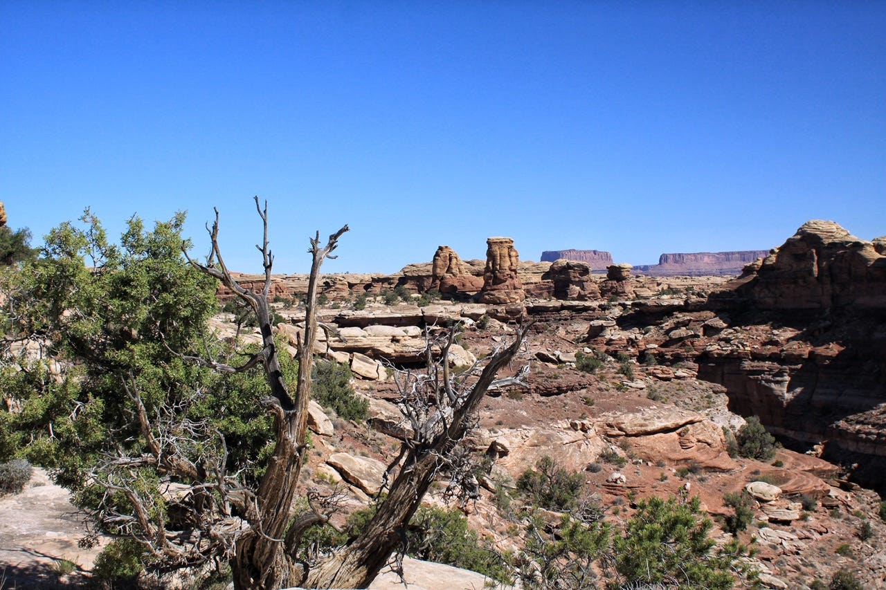
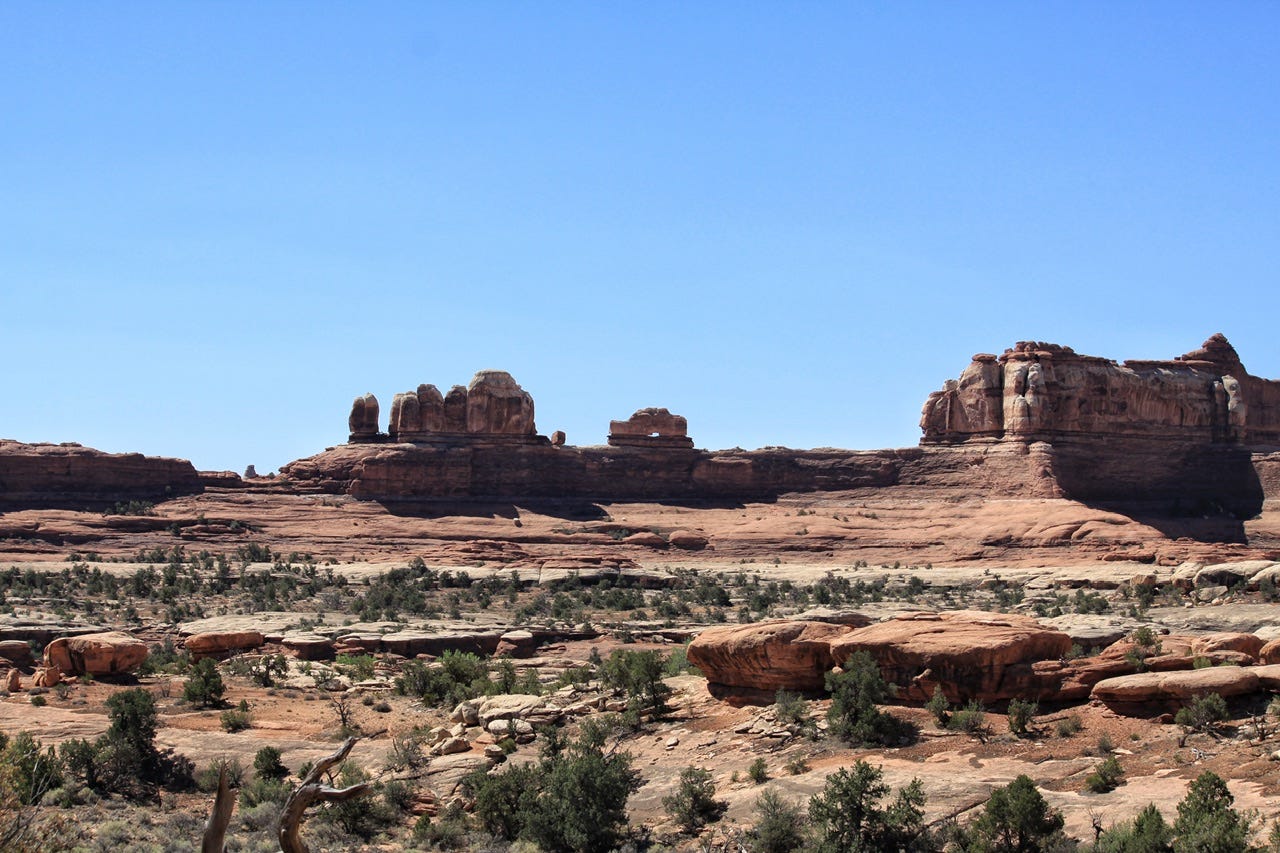
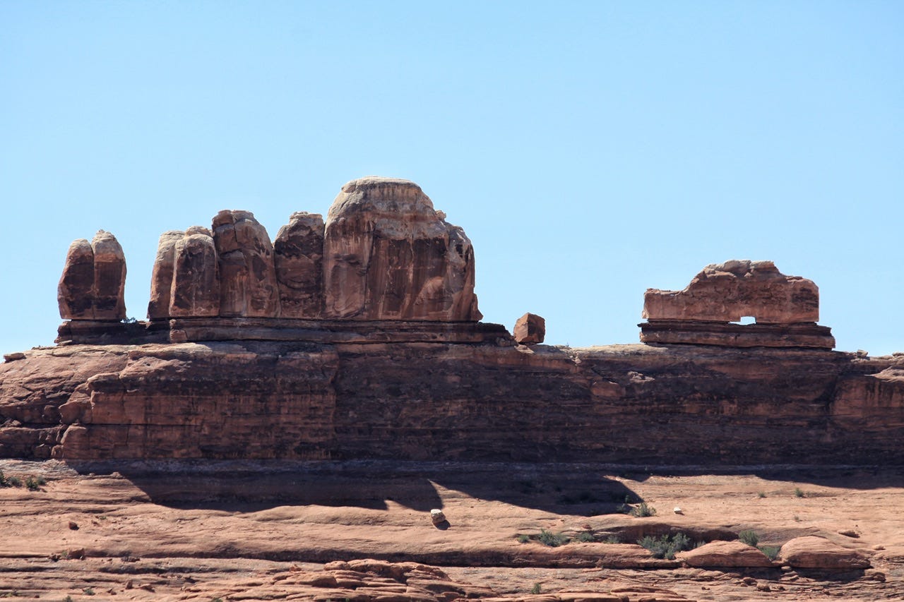
Canyonlands Needles District
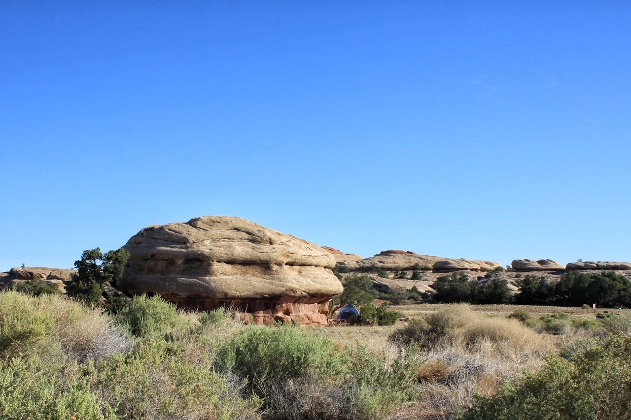
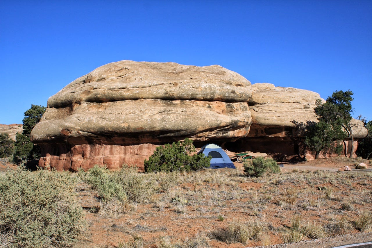
It had been warm when we finally went to bed, but there was a breeze, so it was a nice night in the tent. We were right out in the sun, though, so it didn’t take long for our tent to become a toasty warm oven in the morning. We probably should’ve picked a tent pad on the other side of the rock since we had the choice of three different spots on our site. I don’t remember why we didn’t, but that rock is really big, so it would’ve been a long way around to haul all of our stuff in the heat.
Site 19 in the Needles Campground has to be one of our favorite campsites, although choosing a favorite campsite is really tough when we’ve camped in so many amazing places! Overall, this was a great campground for desert tent camping, even if it was a wee bit warm!
The Darkest Place We Have Ever Camped!
I forgot to write about this in my last post, but Canyonlands is a Dark Sky Park, so the campground has no lights, which was great for stargazing and night photography! What was kind of crazy, though, is that the restrooms had running water but no lights. They take their light pollution seriously here!

The plan had been to spend two nights and hike for a whole day in this amazing place, but we didn’t want to embark on an all-day hike with a record high of 108° on the forecast, so we cancelled the second night. Maybe we could’ve tried our usual desert-in-June plan of hiking super early so we could be done by noon, but we also chose this park for the night sky and we had enjoyed that until 1am instead.
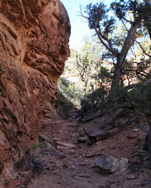
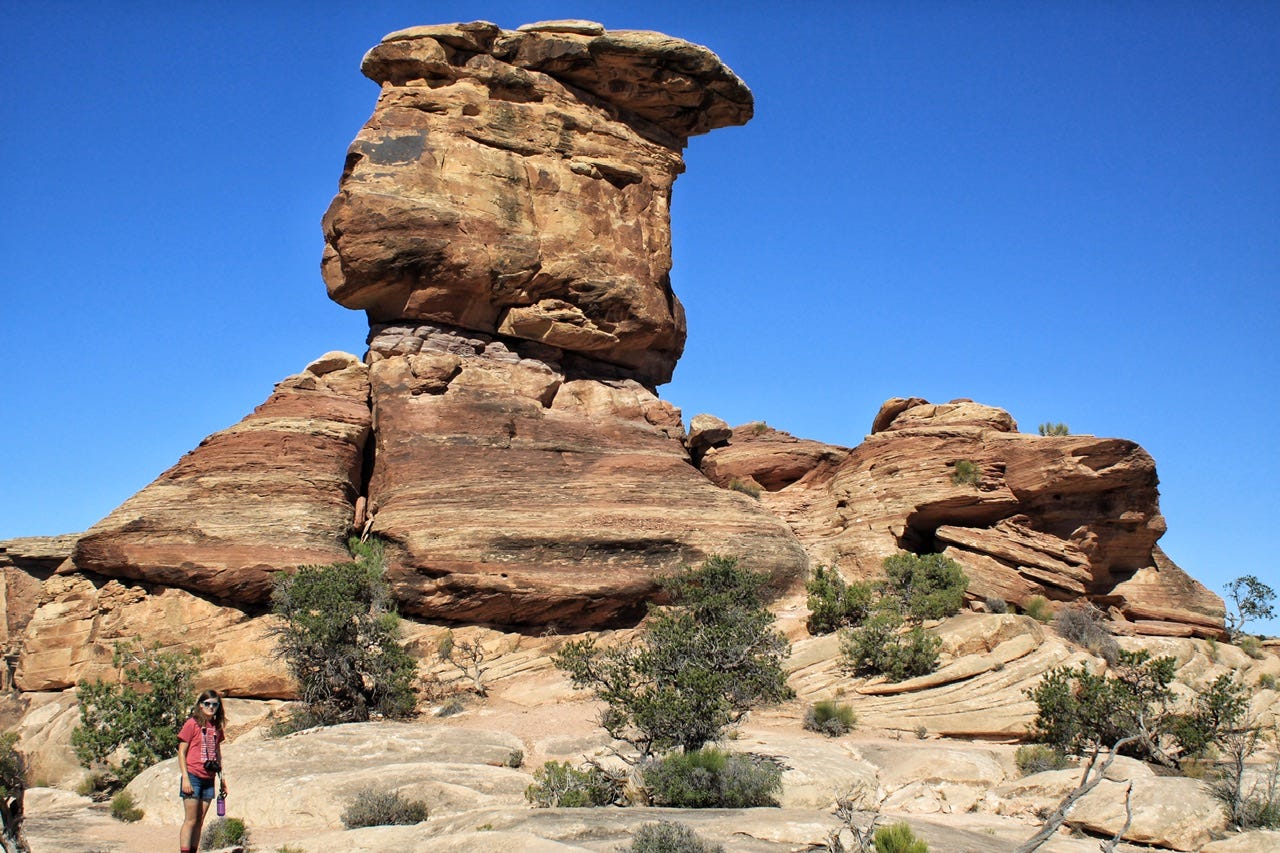
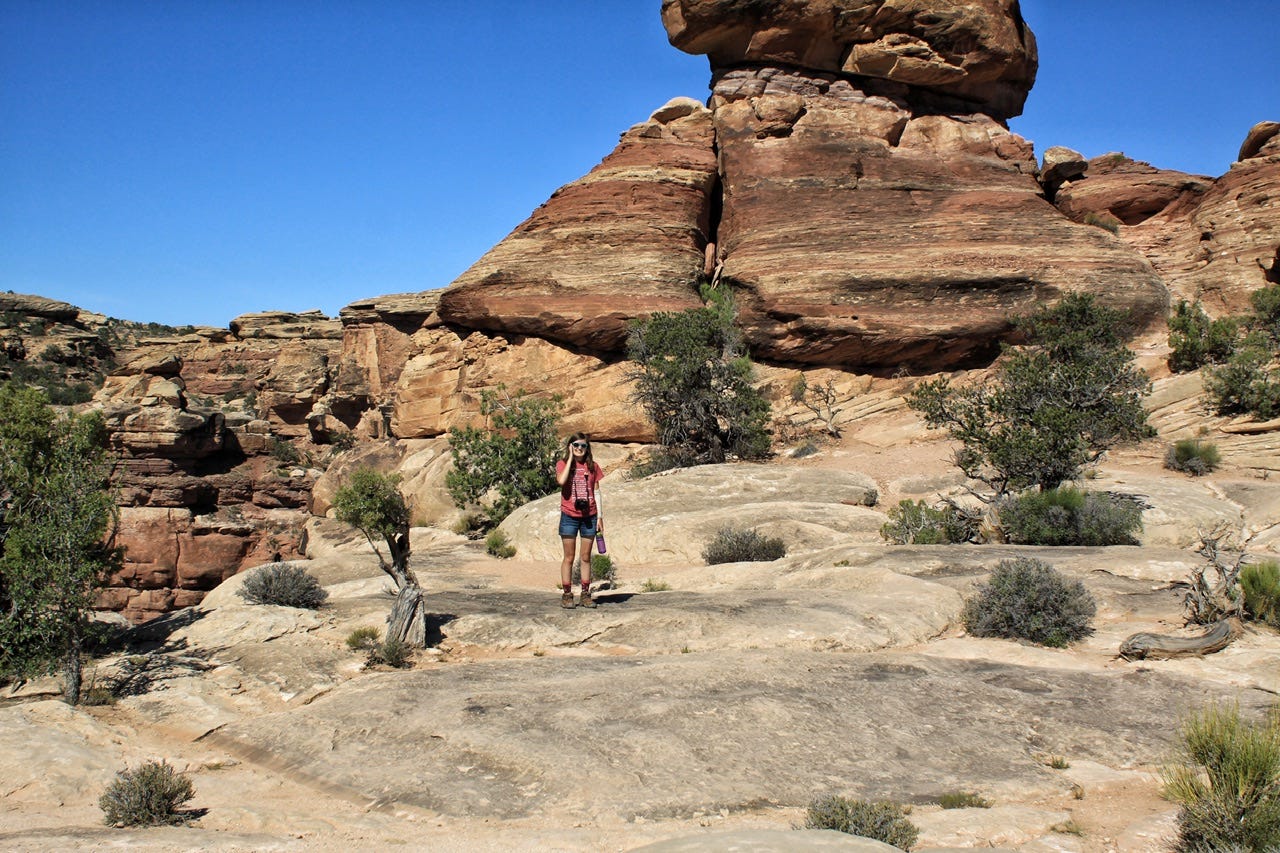
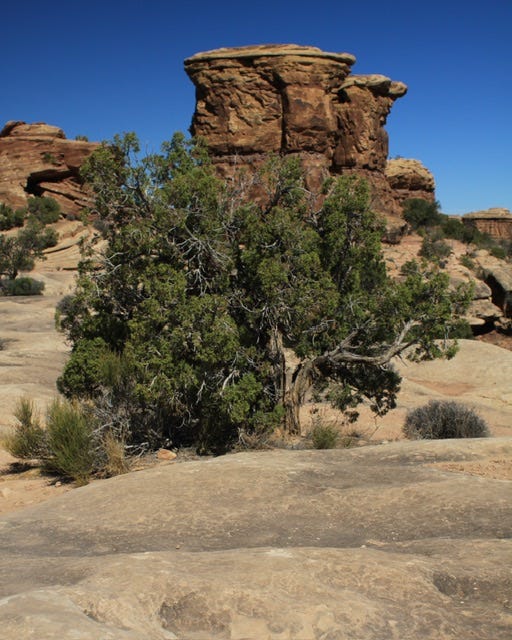
We still wanted to get in a little hike for our morning, so we explored the trail at the far end of our campground loop. It was supposed to come out on the other campground loop, but I don’t think we went that far. We just did the part that was in the shade. I tried to find the name of the trail, but it doesn’t seem to have a name.
We weren’t quite ready to be done with the Needles District yet, so we decided to drive around again. I tried the gravel road that was right outside the campground, but we didn’t go far before I feared that we were going to find ourselves on some crazy Jeep trail in a rental Honda CRV. We turned around at a curve in the road where the road was wider and continued the rest of our exploration on pavement. As it turns out, we could’ve driven to a trailhead parking lot that happens to be located before the crazy Jeep trail. Oh well…that’ll be something new to see next time!
The Districts of Canyonlands
Canyonlands National Park has three distinct districts. The districts are separated by the Colorado and the Green Rivers, which are also treated as a fourth district. We’ve visited the Island in the Sky District, near Moab, and the Needles District, the two most accessible parts of the park. I prefer driving around the rock formations of the Needles District, rather than looking out over the canyons at the Islands in the Sky District.
We have not visited The Maze District. That one has always intrigued me, but it requires a 46-mile drive on a dirt road to get to the ranger station and then requires another 3-6 hours in a high clearance, four wheel drive vehicle to get to where you’re going. I’ll leave that one to the Jeep folks and hope they post a few videos on YouTube so I can see it that way!


Canyonlands Junior Rangers
We finished up our time in the park with a stop at the visitor center, where the park rangers were stationed outside. The kids already had Canyonlands Junior Ranger badges from our visit to Islands in the Sky in 2017, but they had decided to do the books again to commemorate visiting a second district. The books had changed and they could get the new wood badges that were different than the previous plastic badges.
Megan had been interviewing park rangers along the way and when she asked this one for her advice on becoming a park ranger, she was told to apply for internships. She also told Megan that she hoped to work with her at a park someday.
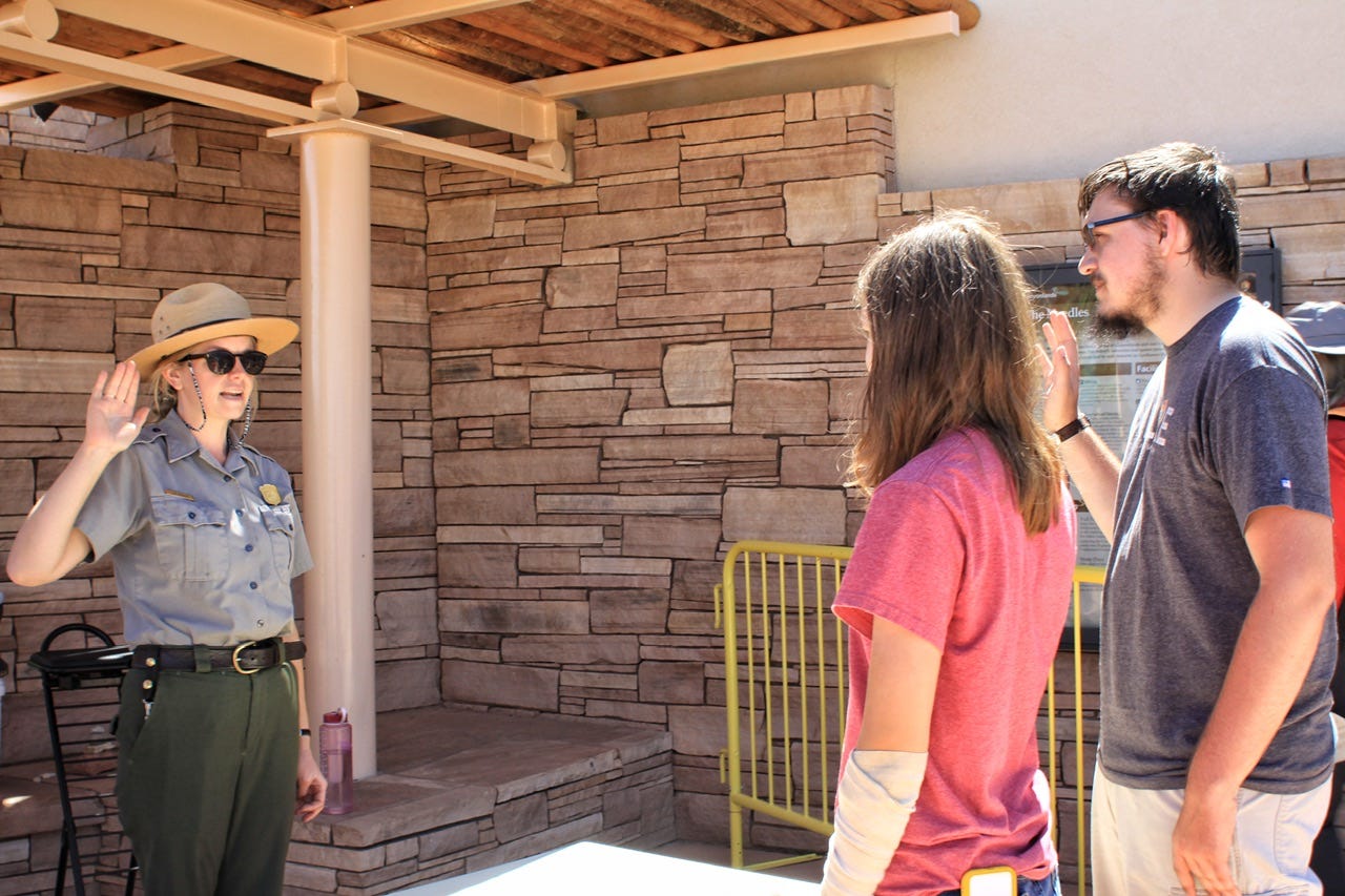
We also asked the park rangers if they had any suggestions for keeping cool, since we couldn’t go hiking, and the other park ranger suggested a trip to Telluride, Colorado. He said it was only a three hour drive away and the higher elevation would be much cooler. We thanked them for their help, took a quick trip through the gift shop to buy some Canyonlands t-shirts that Megan and I had both been eyeing the day before, and then we were on our way.
Needles Overlook
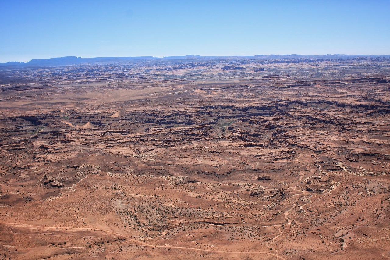
We had one more stop to make before we needed to figure out what else to do with our day. The Needles Overlook is located about an hour’s drive away from the Needles District Visitor Center and is in the Canyon Rims Recreation Area. It’s pretty crazy to look out over the top of the rock formations we were just driving through. The views were stunning! Not sure if it was worth the 52-mile side trip from the highway, but it was pretty and something cool to do on a hot day!

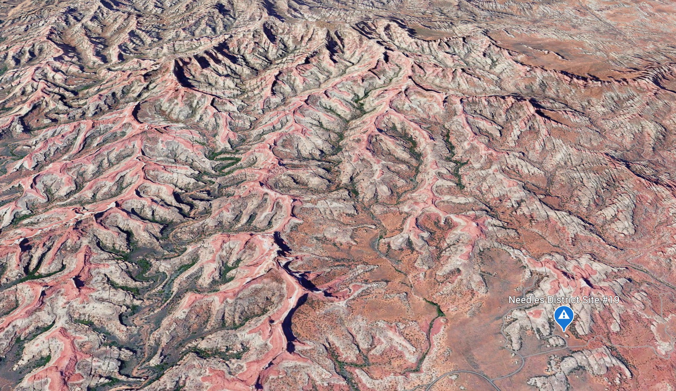
I Love Google Earth!
I was curious to know if perhaps our campsite was somewhere out there, but I don’t think so. I took this screenshot from Google Earth to compare with the above photo taken from Needles Overlook. Our campsite would’ve been too far off to the side.

What To Do Next
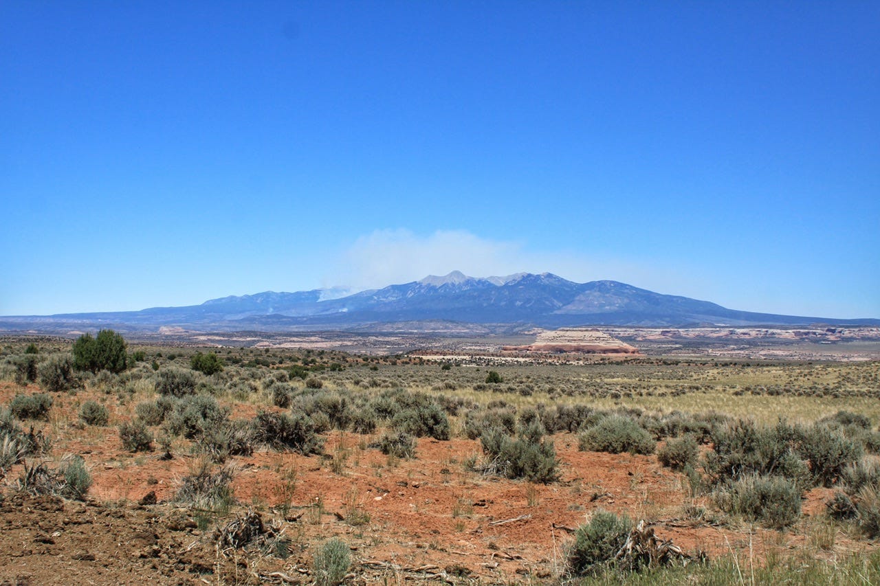
The La Sal Mountains still appeared to be on fire, with a plume of smoke billowing from the top. We no longer had a campsite for the night, nor did we want one that smelled like smoke. It had already reached the predicted 108° so we needed a new plan. The idea of driving to Telluride had been spinning around in the back of my brain since the park ranger had suggested it. We had nothing else planned for the rest of the day, so we decided to go for it.
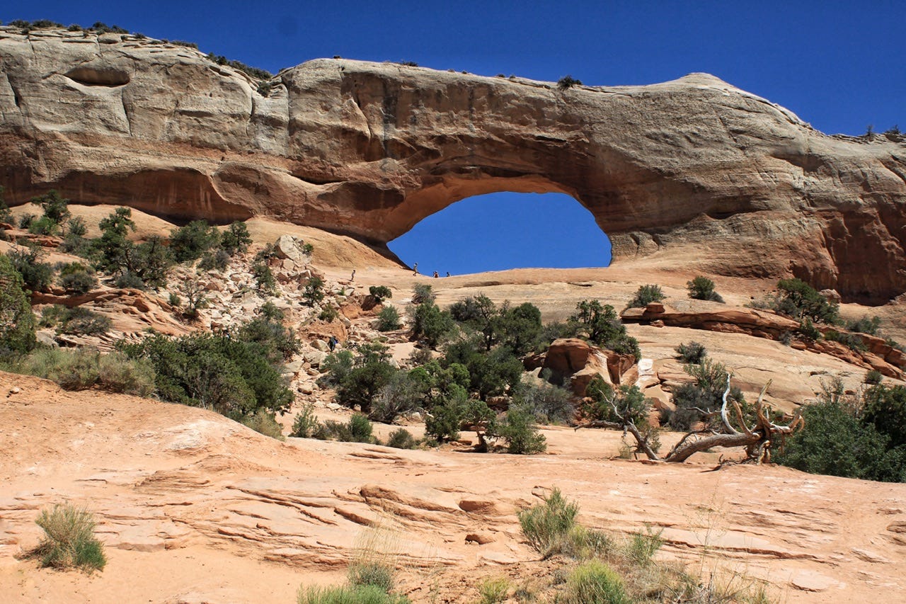
Wilson Arch
We stopped for a quick look-see at Wilson Arch, which is right along the side of Highway 191. We did not hike up that hill for a closer look, but there were a few people who were out there wandering around under the arch.
This Was Probably a Dumb Idea
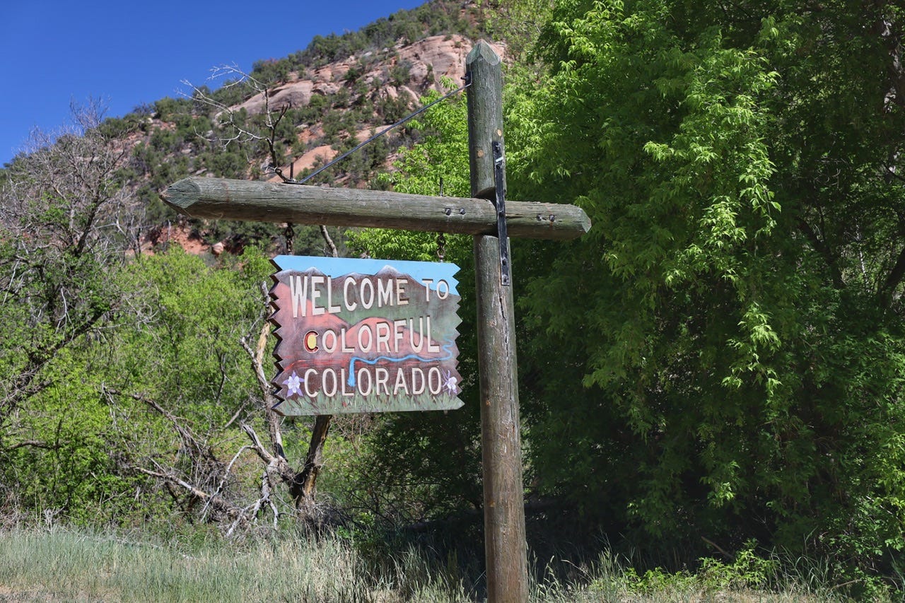
We crossed the Colorado state line at 3:22pm, according to the welcome sign photo, and we filled up with gas in Norwood, Colorado at 4:50pm. It had been 11am when we chatted with the park rangers back at the visitor center, so I don’t really know where our afternoon went, other than it takes a long time to drive between all of these places.
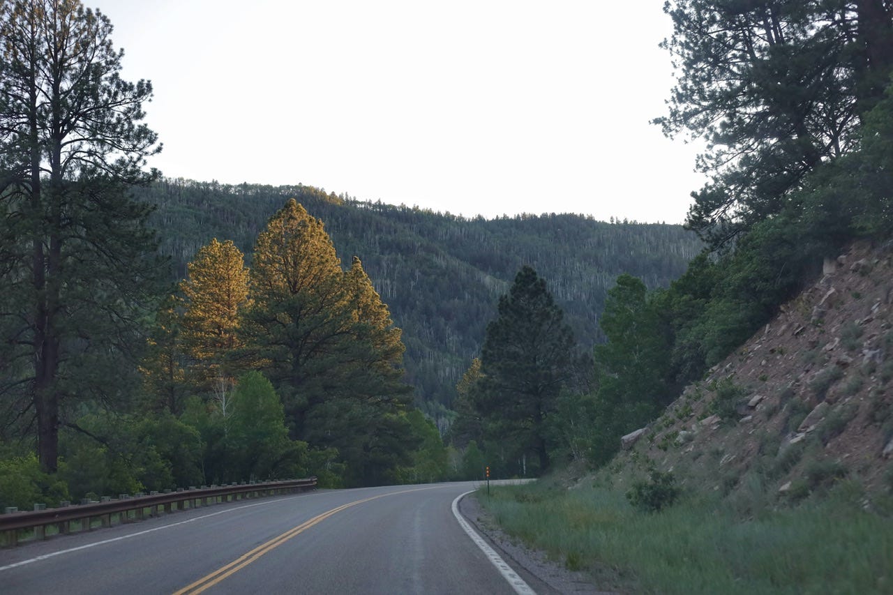
It wasn’t a particularly pleasant drive to Telluride…lots of curves and grades and trees, so I suppose that probably extended the driving times for this midwest flatlander. I can’t whip around the curves like a Coloradan, so it was around 5:30pm by the time we arrived in Telluride. Ugh.
By this point, I was having some serious regrets about this drive. We weren’t going to get to visit Moab like we had planned and we love Moab! We didn’t have a campsite and hadn’t seen any campgrounds along the way. We had a really cool looking campsite in Arches reserved for the next night that we wouldn’t get to use…and it cost $25 that I wasn’t going to get back.
We also didn’t know what to do once we arrived in Telluride either. It looked like a cute little tourist town, and really should’ve scratched the itch we had for visiting Moab, which is also a cute little tourist town. The problem was that it was too late to wander around the town and look at the shops when we didn’t have a campsite for the night, and didn’t know where we’d find one. There was also nowhere to park. We stopped at a little grocery store for a bathroom break, since it was the only place with available parking, but the signs made it pretty clear that we could not park there for long. We loaded back up and found a school parking lot to sit in while we discussed our options.
The other issue looming about in the back of my mind, was that the next day was Tuesday and Megan had another college prep Zoom meeting that was required for one of her scholarships. We had planned that she would use the wifi available at either the library or the visitor center in Moab. If we found a campsite in the mountains, I didn’t know where we’d find cell phone service, much less free wifi for her to do a two-hour Zoom session.
All of us wished we were in Moab, so I looked up an old favorite private campground, called Up the Creek Campground, to see if they had any campsites left. Their website indicated that they might, so I gave the owner a call and left a message. Thankfully, he called back pretty quickly and said that he did indeed have one campsite left! I gave him my credit card number to reserve it and was relieved to know where we’d be sleeping that night! Bonus points for the fact that we’d have showers there too!
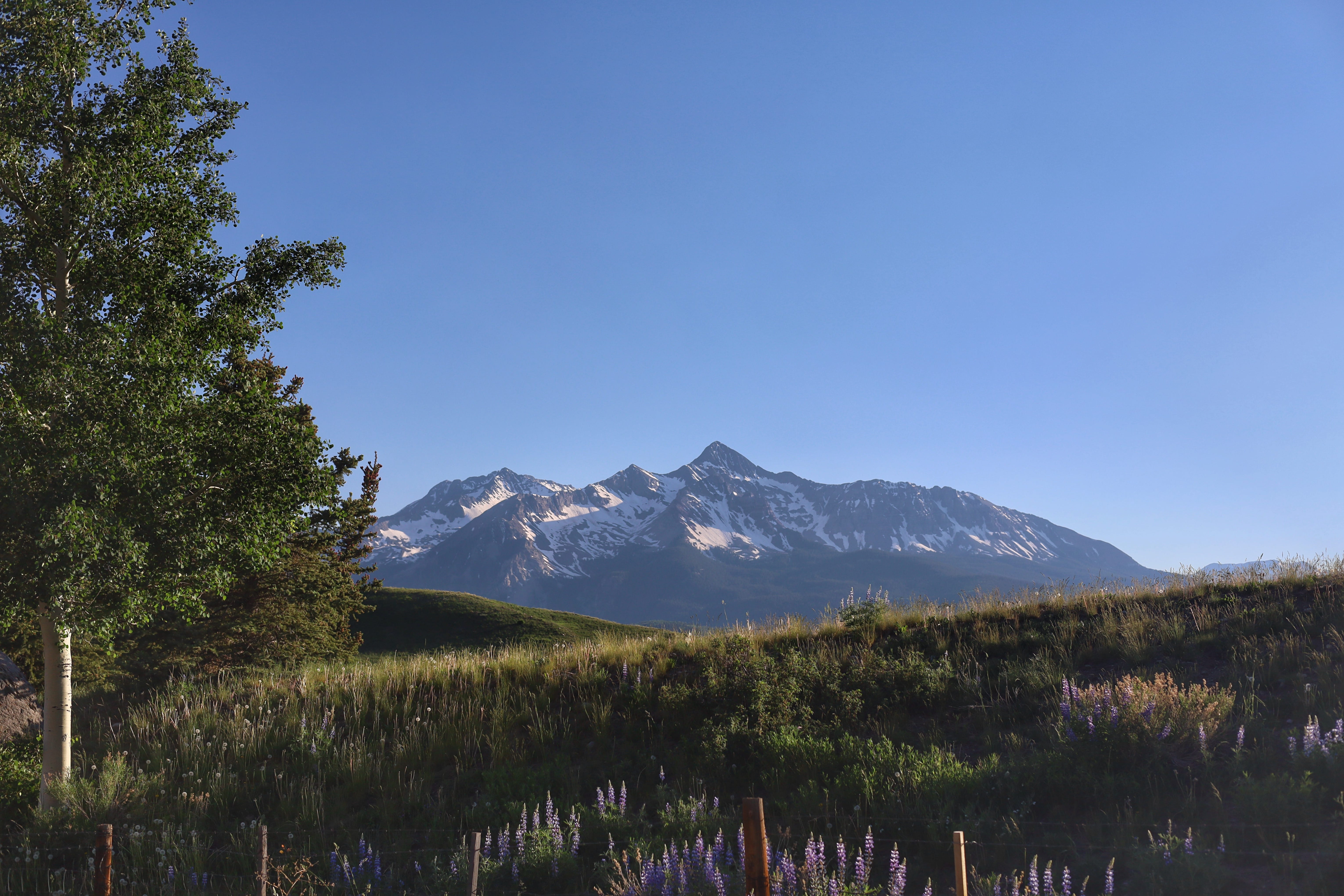
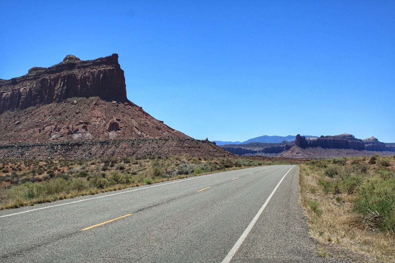
San Juan Skyway Scenic Byway
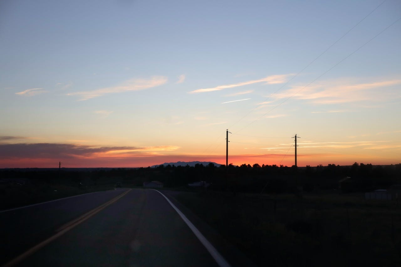
Despite it being fewer miles, I did not want to go back the way we came. It was so many trees and curves, so I opted to take the San Juan Skyway Scenic Byway instead. It was a much longer route, but at least we saw some gorgeous scenery along the way! Not far from Telluride, we stopped at the Gold Point Overlook with a view of the mountains. This is what we had been driving around all afternoon to see — snowcapped mountains!
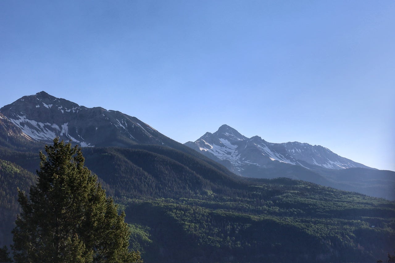
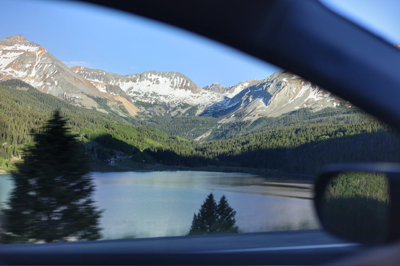
It was 7:15pm when we stopped to take a look at the mountains and now we had another three hour drive to Moab! This day was definitely not the day I had planned, nor was it even a remotely good Plan B. We didn’t make anymore stops, so Joey took photos out the window along the way.

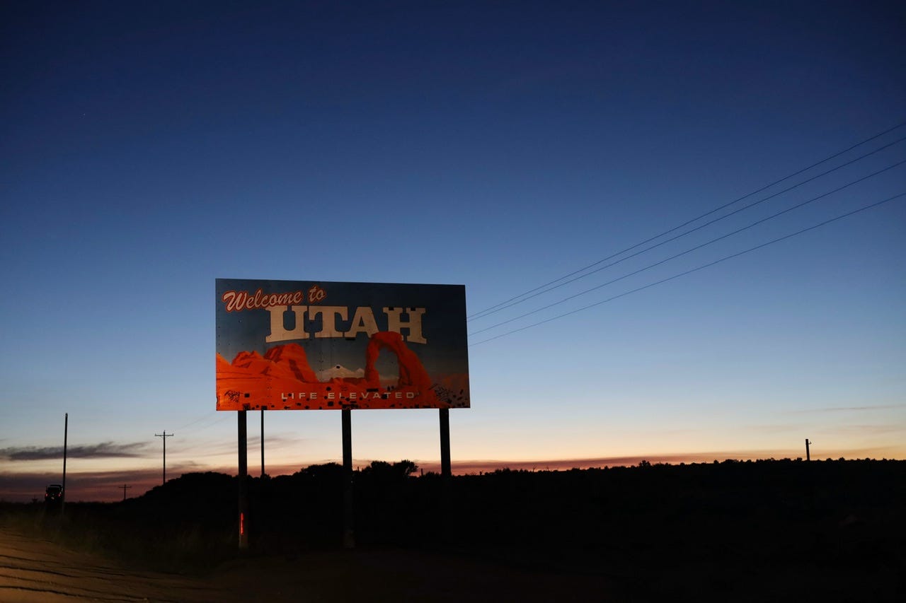
We passed the Utah state line at 9:20pm…six hours after we had left Utah earlier in the day…and we still had a little over an hour to go. I think we have more Utah state line sign pictures taken in the dark than in the daylight!
As we pulled into Moab, we saw the emergency response command post and plenty of fire engines pulling in and driving out of a dirt lot on the edge of town. They were still working on that forest fire whose smoke we had been seeing the last couple of days. Oddly enough, we could no longer smell it, even though we were closer to it. The wind was in our favor!
We quietly made our way into Up the Creek Campground. It’s an urban tent campground, right in the heart of Moab! We parked the car, loaded up a garden cart, and hauled our stuff to our campsite. Their loose pea gravel seemed to make an enormous amount of noise for such a quiet place, but we’ve set up the tent quietly in the dark more times than in the daylight, so that part went quick!
We all took advantage of the showers and then settled into our tent for the night.
What a Day!
We covered 384 miles and drove around for over twelve hours that day! We stayed cool, but in the end, it was a long day of driving for what seemed like nothing. I thought about titling this post “How NOT to See Colorado in a Day, The Sequel” but I didn’t want to give away the plot in the title. Either way…so sorry Colorado! I promise we have better Colorado stories to come!
Looking back at how this day played out, I think we could’ve kept our second night in the Needles District and spent the day leisurely alternating between the short trails to the interpretive sites and riding around in the air conditioning to cool off. We maybe could’ve even went back to the national forest we drove through the day before since it wasn’t that far away. Then we could’ve went for a longer evening hike when the sun wasn’t so hot.
I maybe would’ve thought of all that if it weren’t for the fact that there was a forest fire blowing smoke our way. It wasn’t bad…but it wasn’t good either. It sure seemed like we needed to leave the area for fresh air and cooler temps. I guess we did the best we could with the information we had at the time.
Why Southern Utah in June?
For anyone wondering why we’d plan a summer road trip to Southern Utah in the first place, we’ve been there several times in June before. We come from a very steamy South Dakota, so we love the dry heat. Usually, the highs in Utah are around 100° by mid-afternoon, with pretty nice mornings and evenings. We experienced record highs this time, but June is normally a great time to visit!
Up next, we’ll be spending the day in Moab…not driving around all day! Check back to find out how we stayed cool on another record-breaking hot day in Utah!