

How NOT to See Colorado In a Day
How NOT to See Colorado In a Day
Colorado

Day Three: Saturday, June 17, 2017
After the previous night’s near miss on finding a place to stay, and knowing we’d be without cell phone service much of the day, I decided to check on getting a campsite at a place I had camped at in Moab several years earlier. The owner called me back before we left the hotel and we were all set up for two nights. I was happy to have a campsite lined up early so we could enjoy the day.
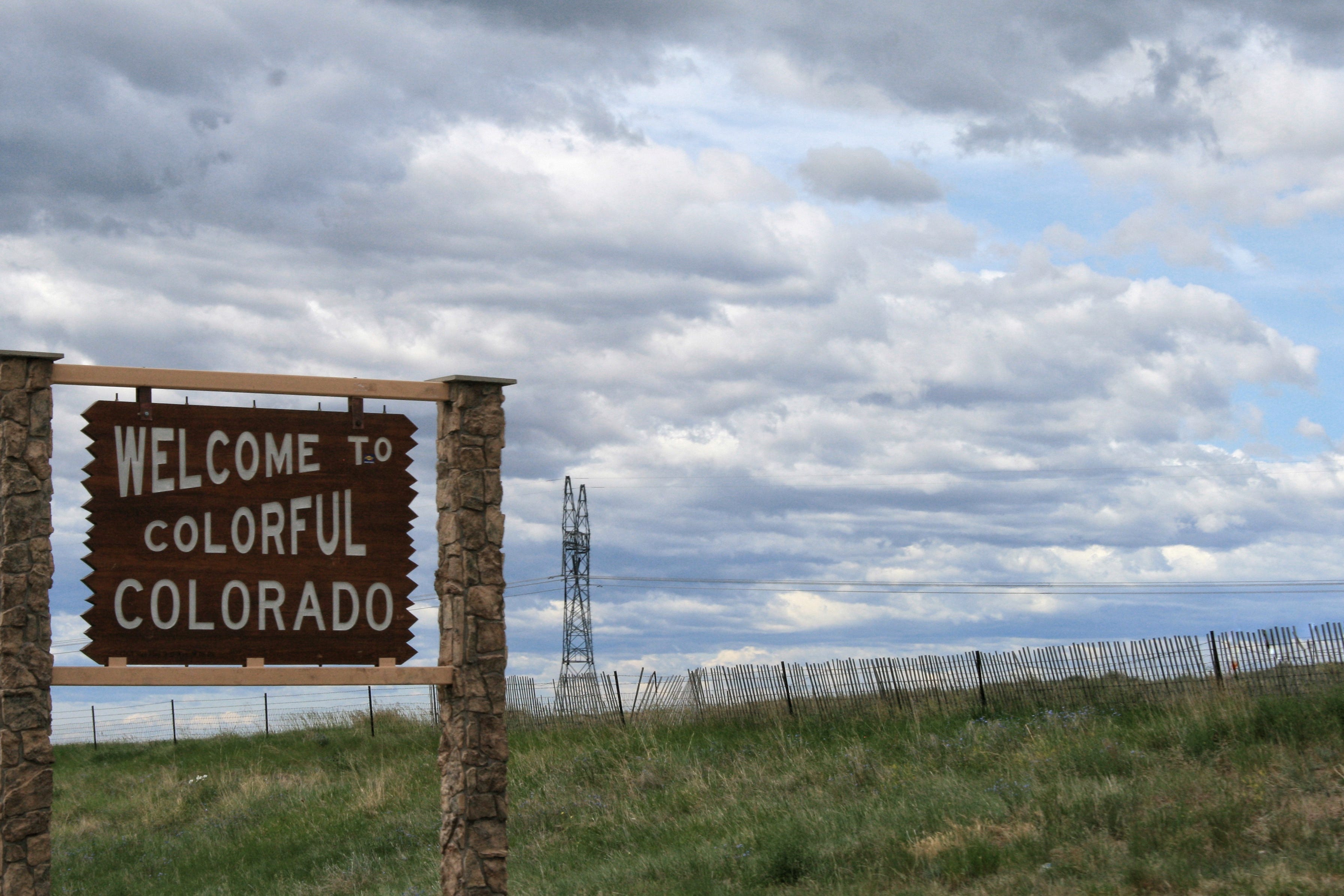
Colorful Colorado
Quickly into our drive, we crossed the border into Colorado, adding state number 25 to the kids’ lists of states visited. If my records are correct, this was my tenth visit to the state of Colorado. Megan captured a photo of the sign as we went past on the interstate.
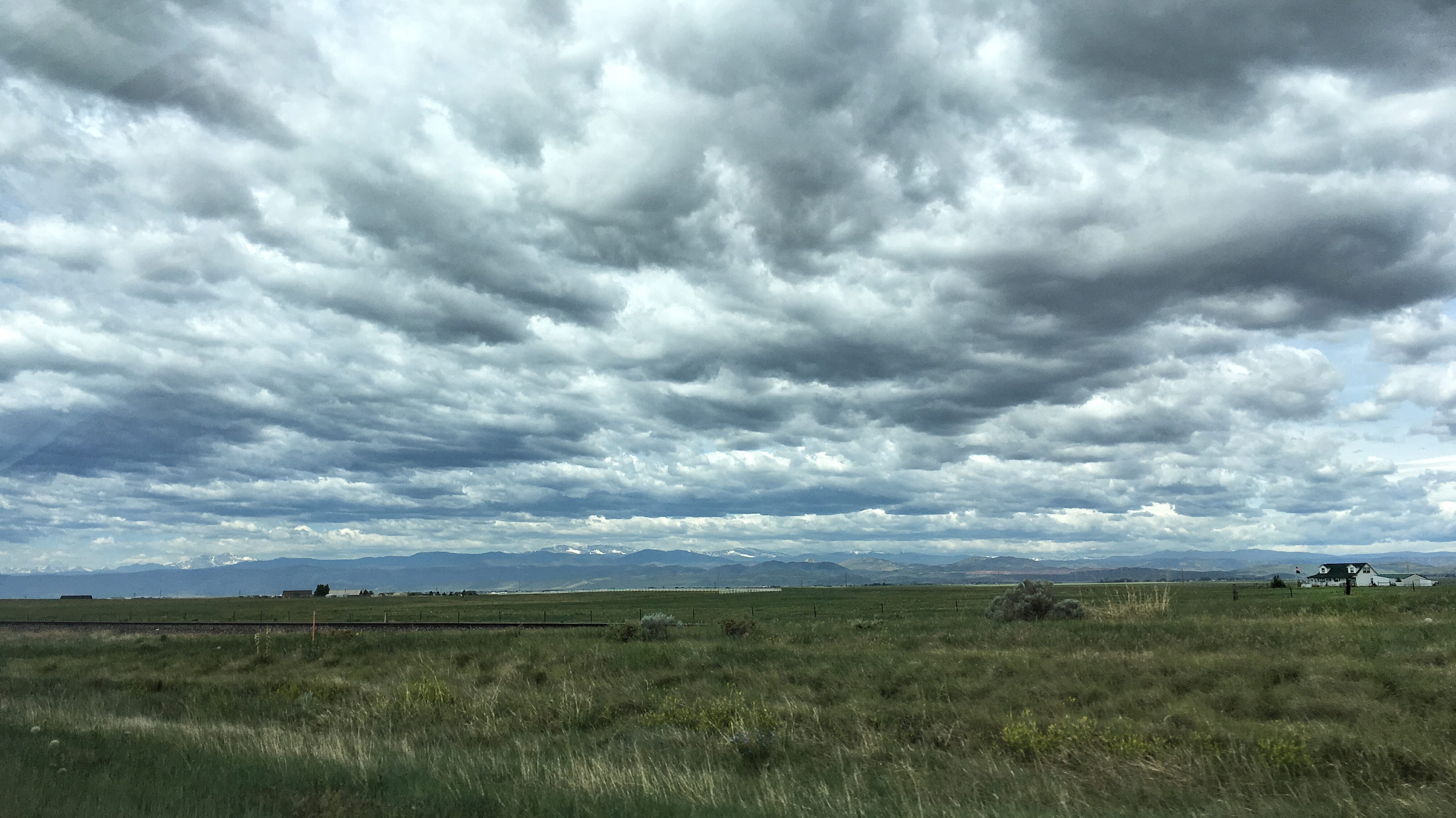
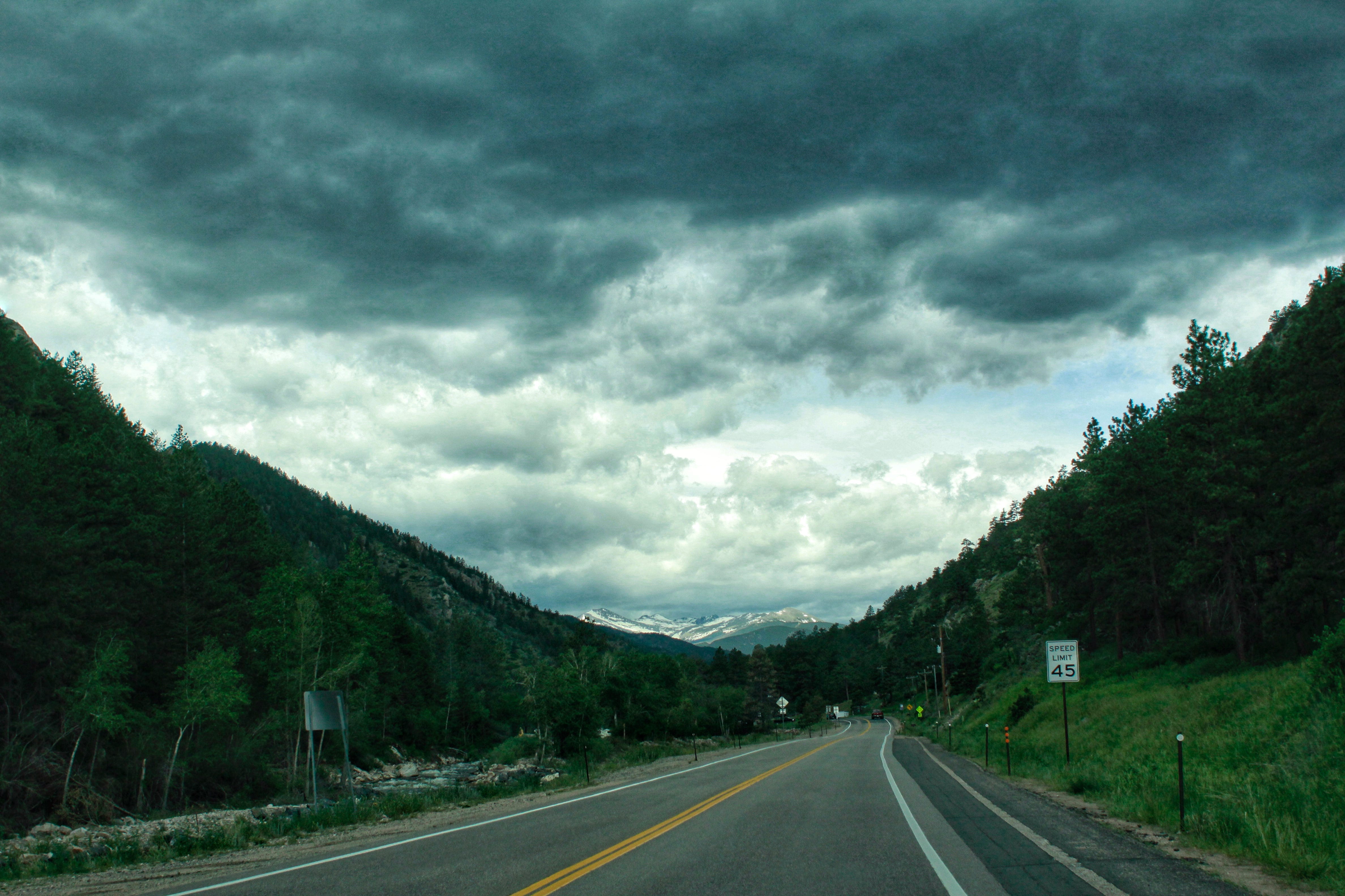
Colorado looked just as I remembered it. I love when the mountains first start to come into view on the horizon off to the west. You know you still have miles to go, but you also know it won’t be long until you’ll be driving in them and this view of them will be gone.
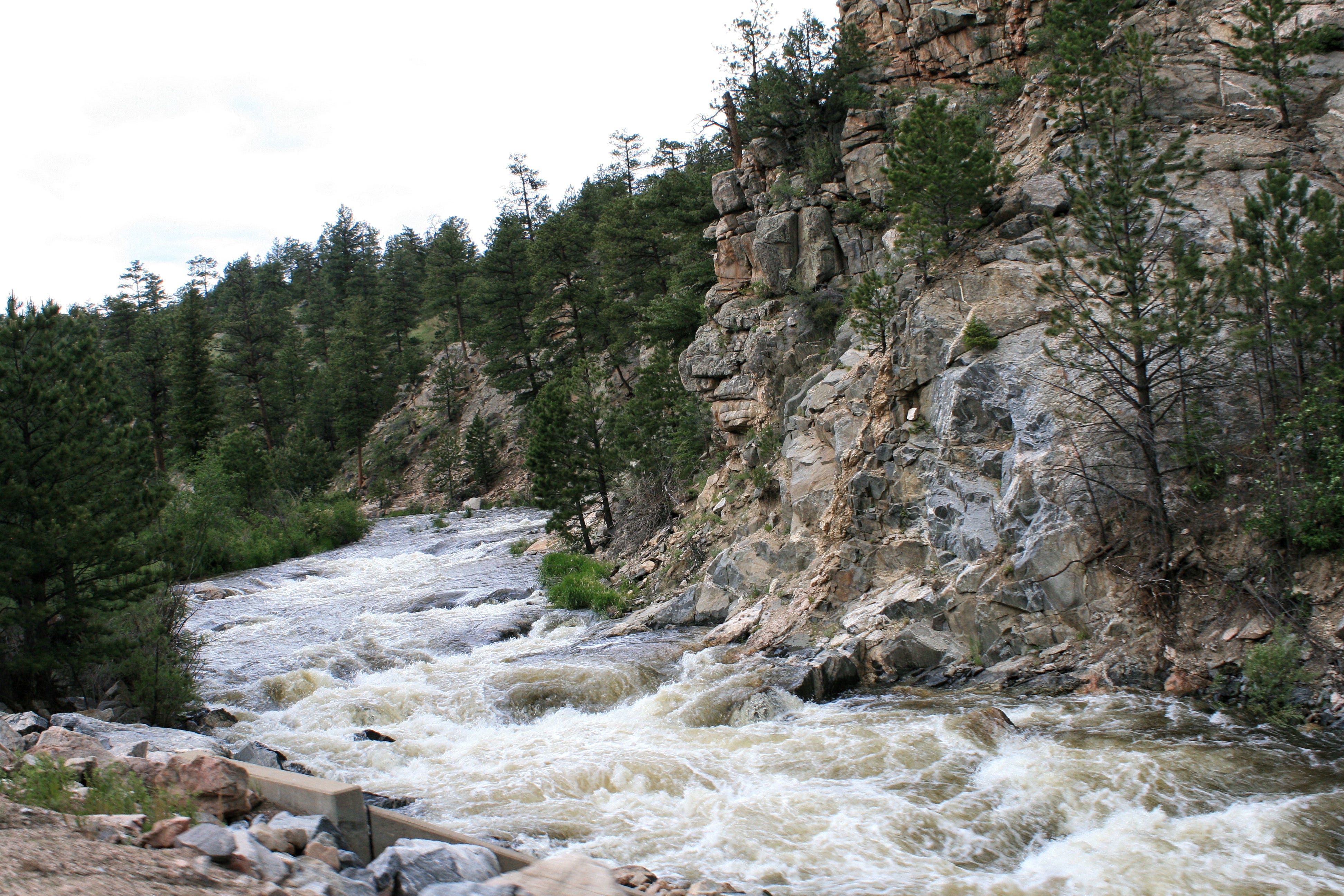
Rivers along the side of the road are also a highlight for me. Being from eastern South Dakota, none of these scenes are anything like the cornfields and pastures we see along the roads at home. The rivers we do have are usually not rushing anywhere, which also makes the ones found on the way into the mountains much more exciting.
We made a quick pitstop at the Safeway (grocery store) in Estes Park and from there, it was time to enter the park. I debated between taking Highway 34 or 36, but decided to take Highway 36.
Rocky Mountain National Park
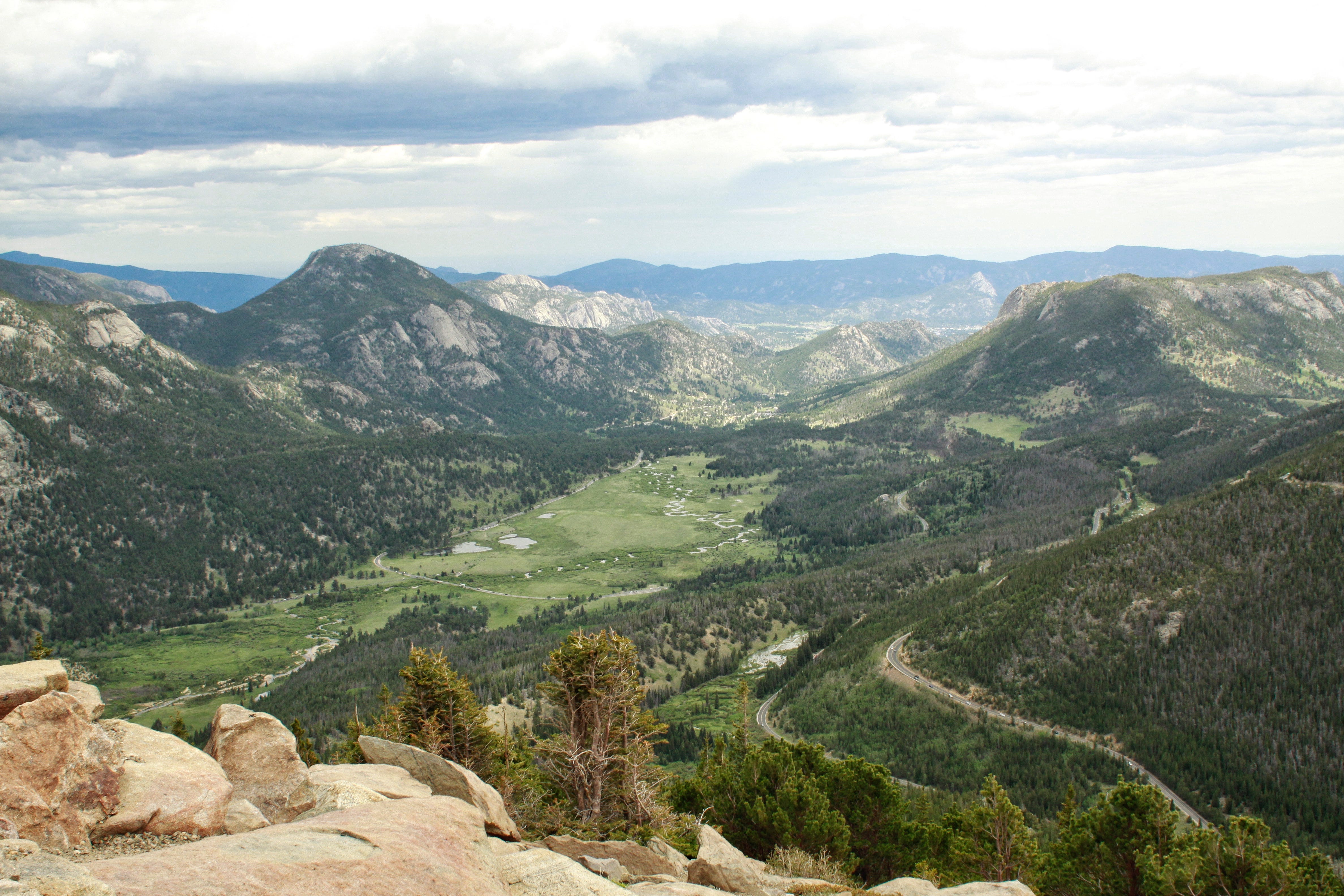
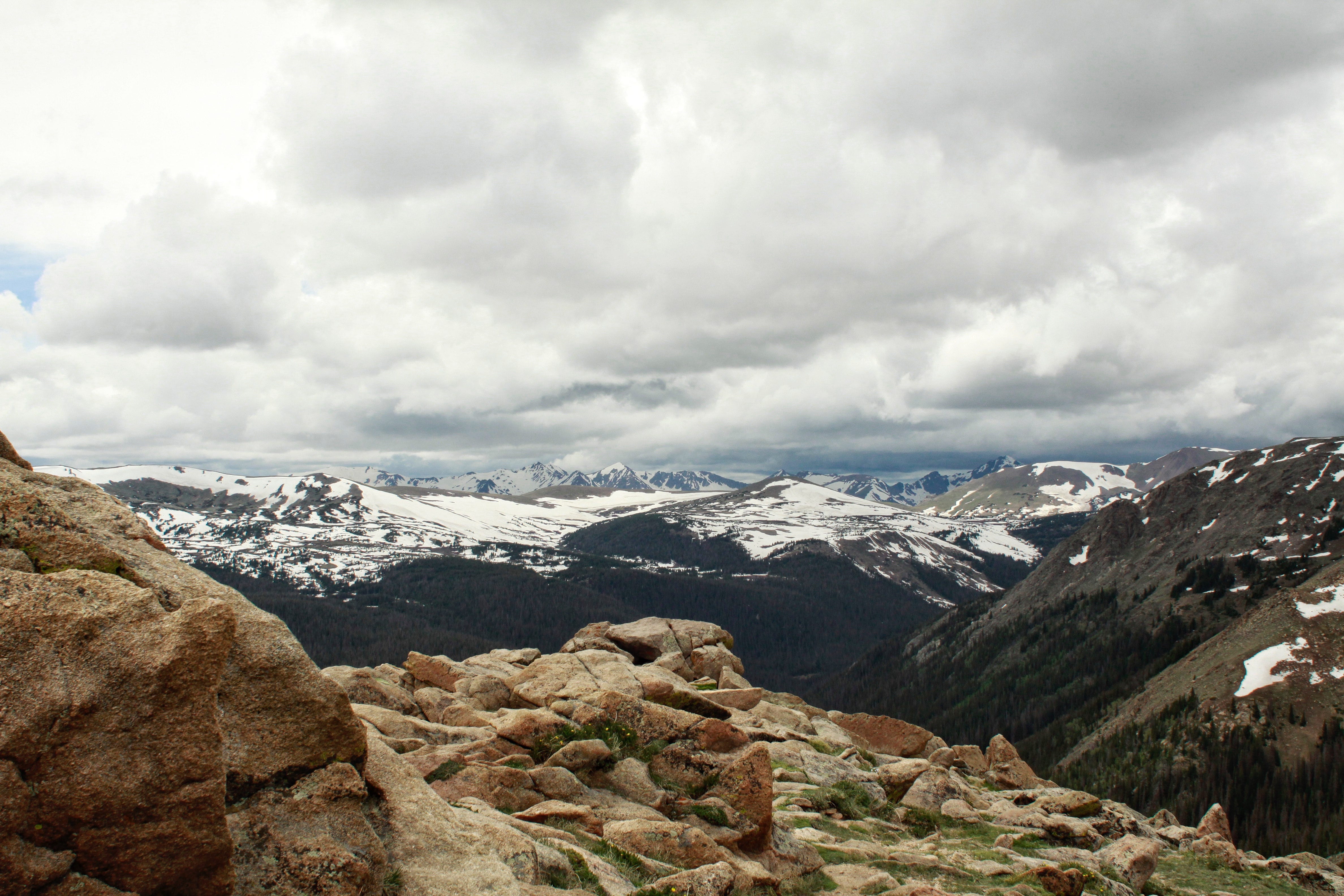
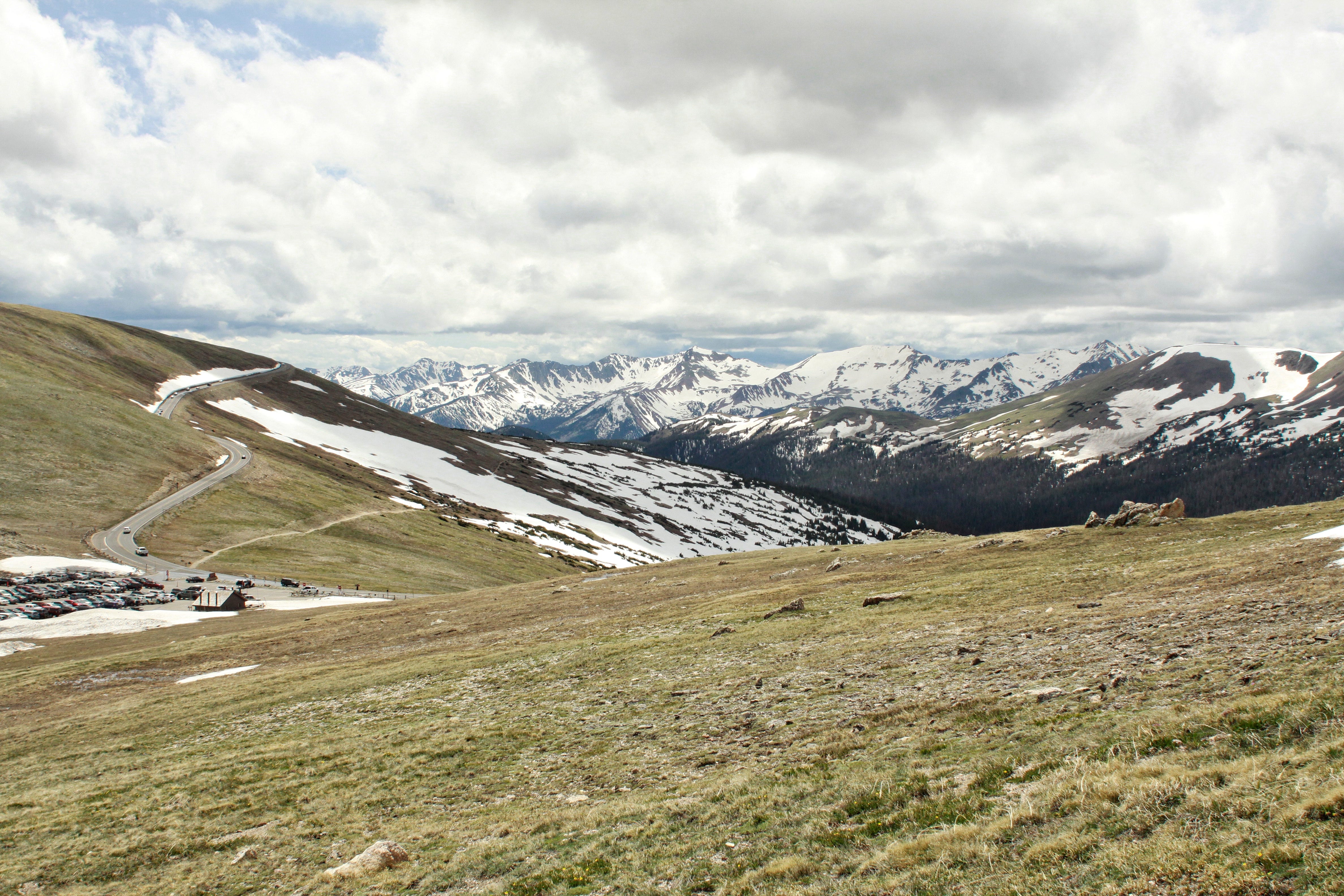
Look at that view! This is the Rainbow Curve viewing area, which is on the tree line where you pass from sub-alpine to alpine areas of the park. I think it’s one of the most beautiful scenes along Trail Ridge Road. There’s so much going on: layers of roads, rivers, and ponds, shades of green, rocks, light…and of course, the mountains.
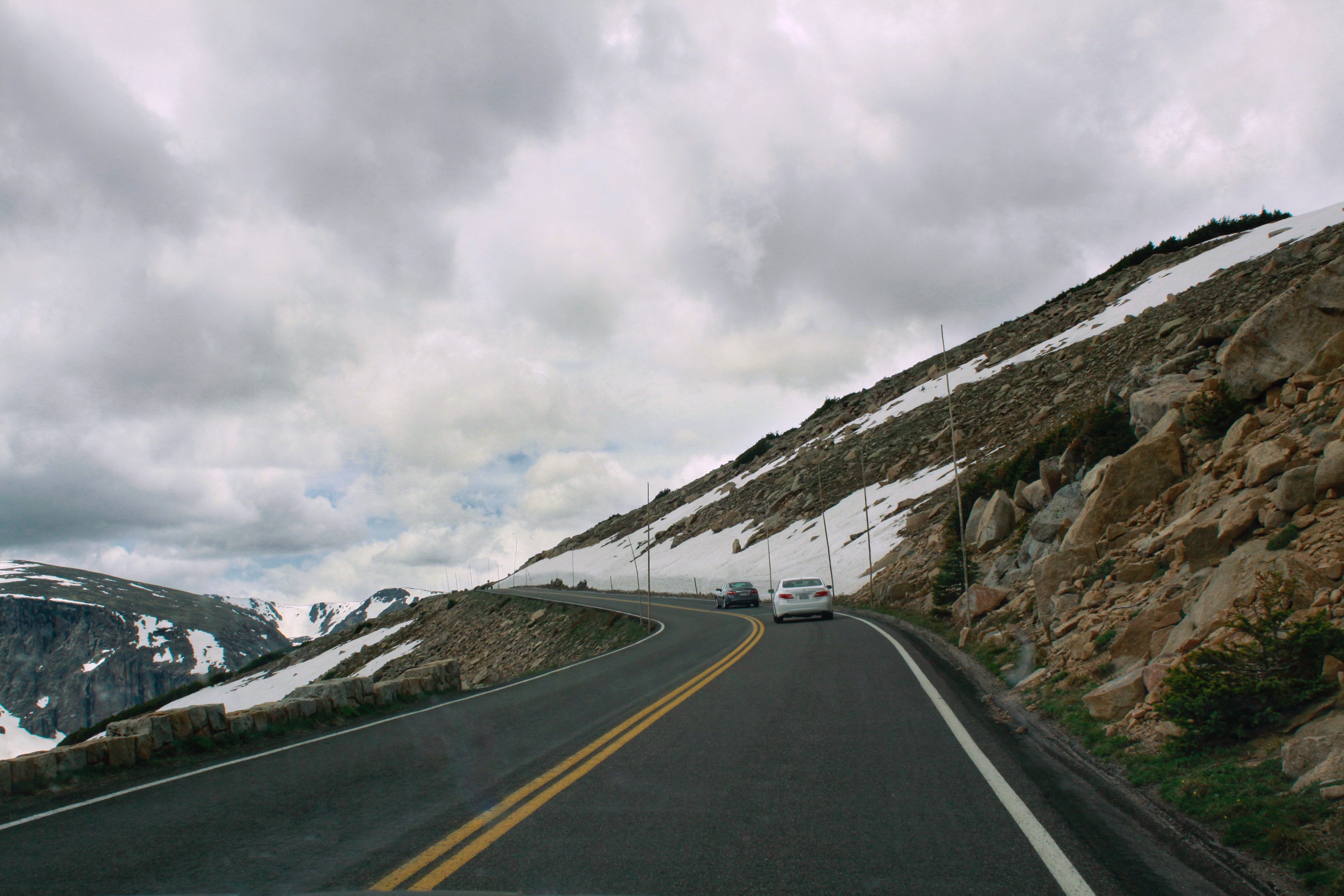
I don’t know why, but I am always fascinated by whatever is along the sides of any road. This particular section of road includes some very tall sticks to tell the maintenance crew where to find the road. We can get a lot of snow at home, but I can’t imagine snow as tall as these sticks indicate, even if the sticks poke out the top of the snow! I was also thankful to be driving on the inside, next to the rocks, rather than along the edge going the other direction.
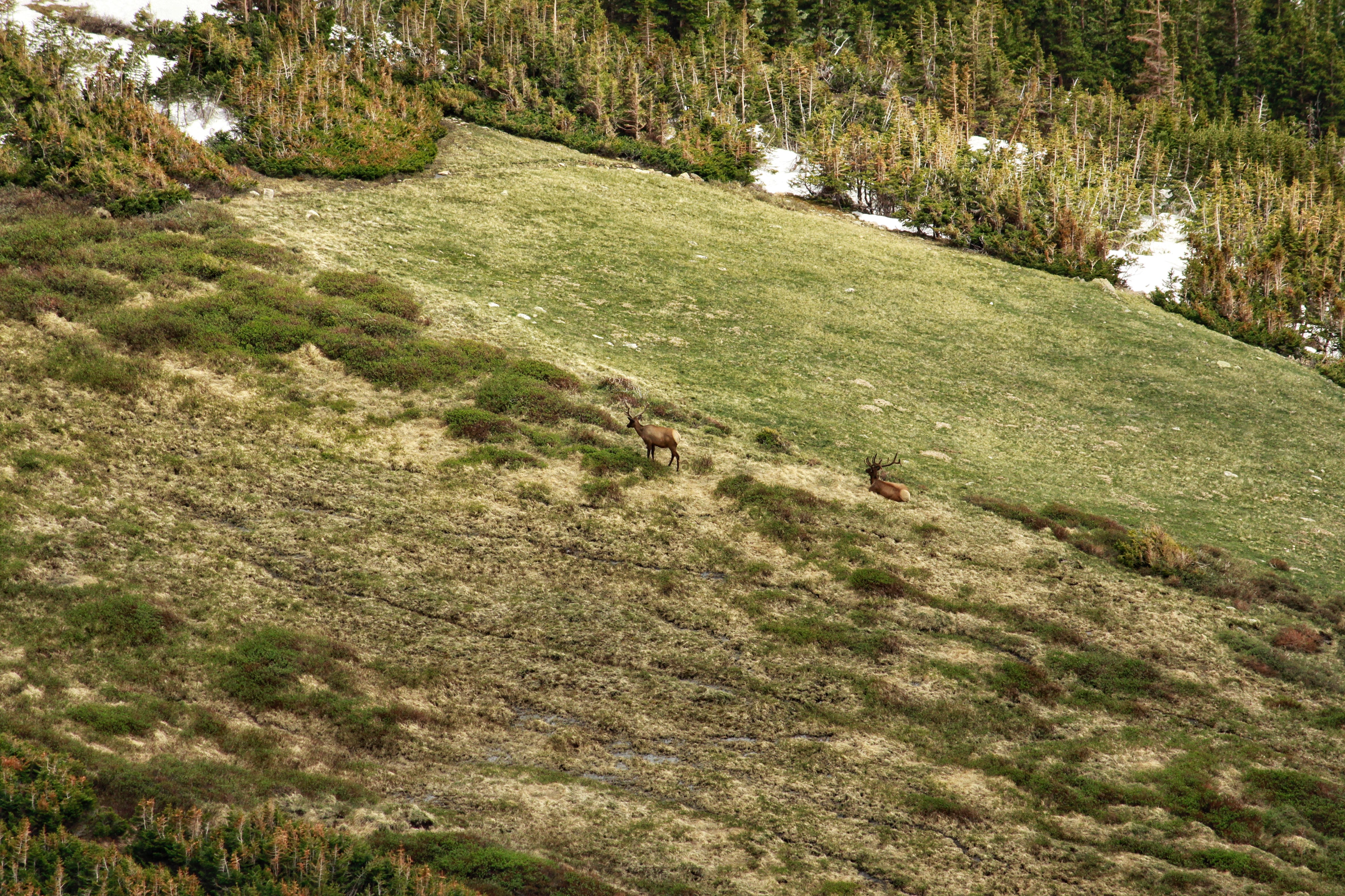
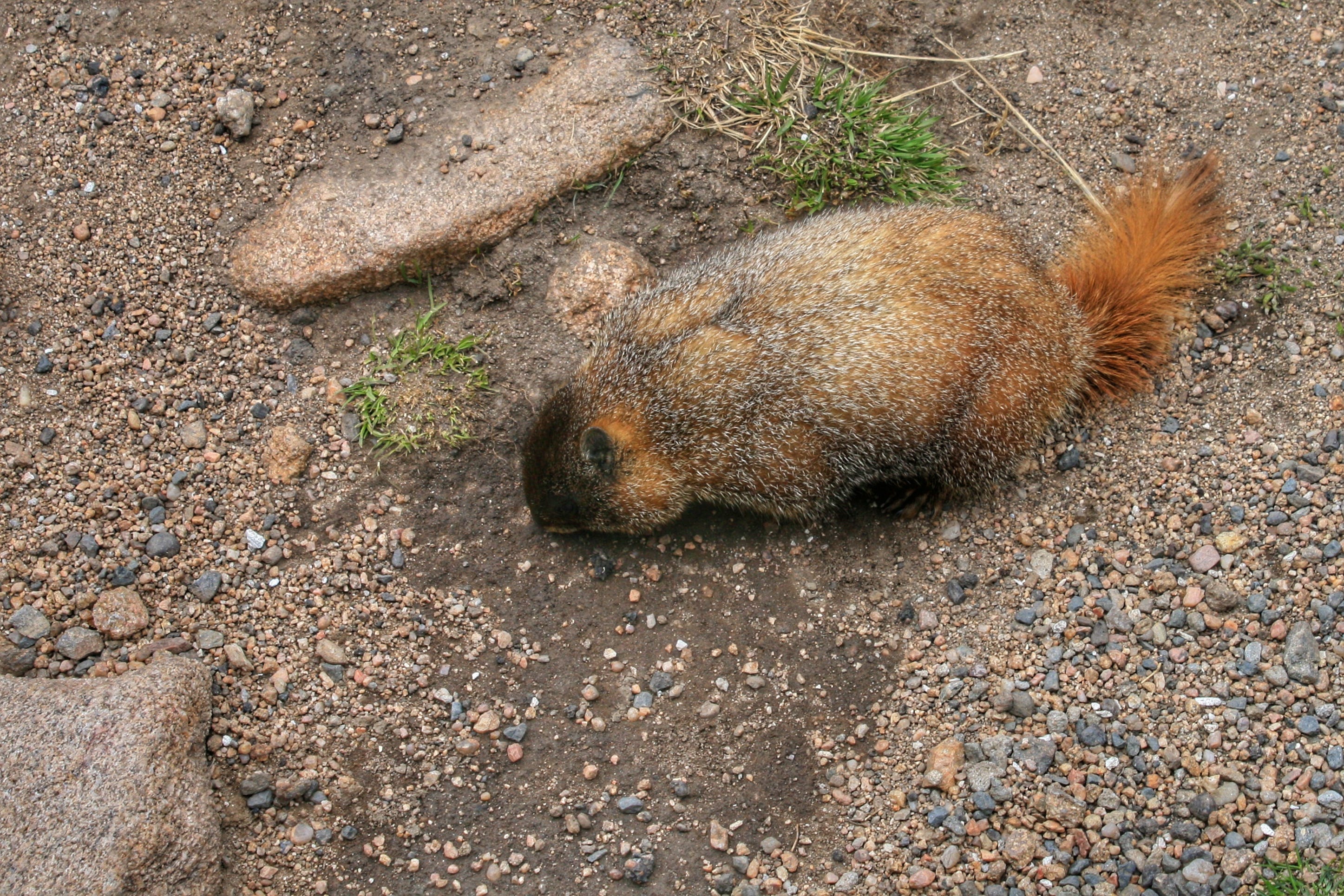
Wildlife Viewing
We did not see a lot of wildlife on our way through the park, but I managed to capture a couple of elk grazing and Megan took took the photo of a marmot.
Alpine Visitor Center
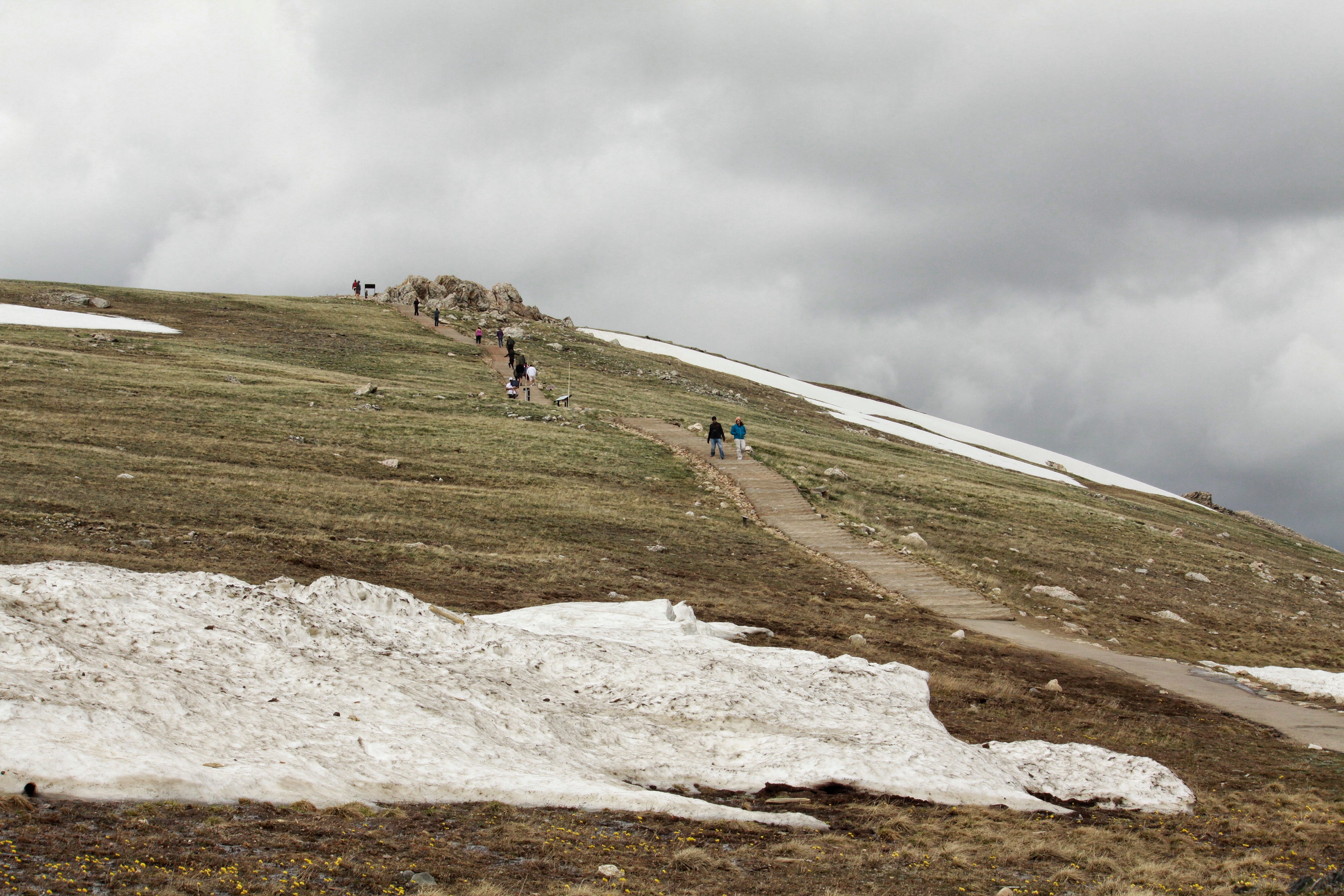
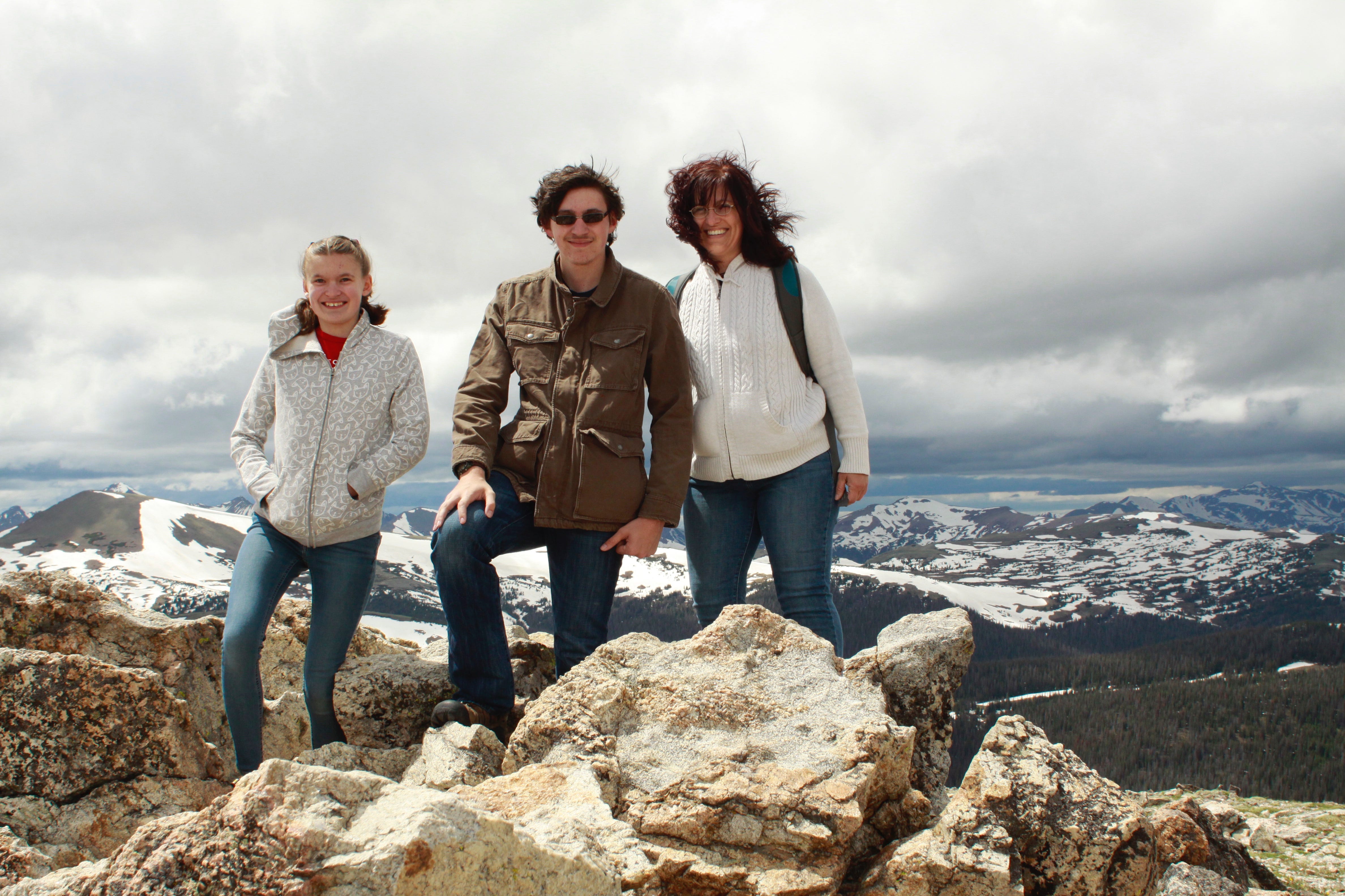
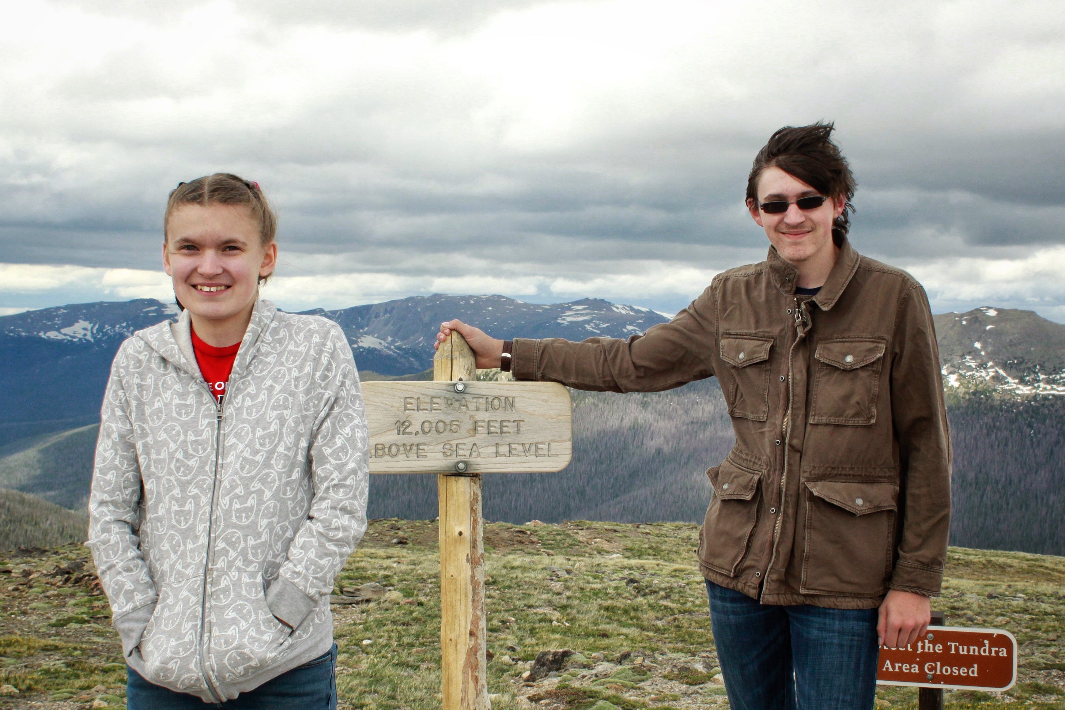
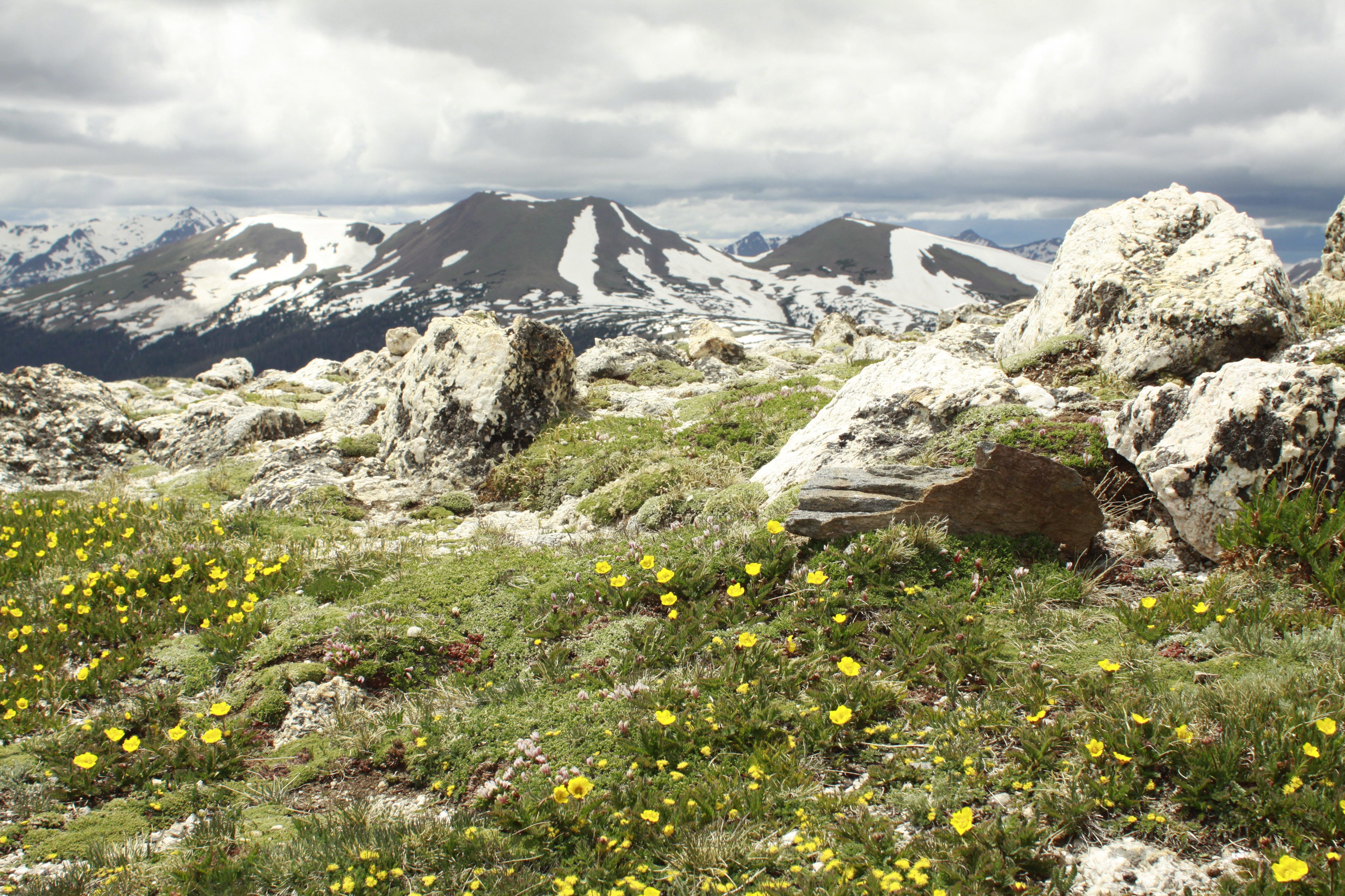
The Alpine Visitor Center has an elevation of 11,796 feet, making it the highest national park visitor center in the US! The last two times I had visited Rocky Mountain National Park, I was barely able to walk around at that elevation, much less hike up to the summit on the Alpine Ridge Trail. Thankfully, I had learned that being properly hydrated in the weeks before leaving home, helps boost your oxygen levels and with adjusting to the elevation. We all made it to the top, which is 12,005 feet above sea level.
We spent some time looking through the visitor center and gift shop, where we purchased our first road trip t-shirts and spotted that marmot from earlier in this post. Our visit to Rocky Mountain National Park ended at the Kawuneeche Visitor Center where the kids were sworn in as junior rangers. The visitor center was closed, but luckily, there was a park ranger outside taking care of some other junior rangers.
From what I can tell of the time stamps on photos, we entered the park before noon and exited just after 5pm, which was just about the right amount of time for us. I had slowly started getting a headache from the altitude, which meant it was time to retreat to lower ground. We also had that campsite waiting for us in Moab, Utah, which was supposedly less than five hours away. When we had a cell phone signal, Joey (my navigator) plugged in Moab and we set off on our way.
Trough Road
Our route took us on Highway 40 to Kremmling and then right after getting on Highway 9, I needed to take Highway 1. I quickly discovered my turn was a gravel road, so I stopped and turned around to get back on the highway, thinking maybe I had turned too soon. Once I was back on Highway 9, Siri told me to “proceed to the route” and directed me back to the gravel road, which from what I could tell was the shortest route unless I wanted to take a longer route on I70. I did not. I proceeded cautiously down this gravel road, hoping it was going to turn into pavement pretty soon. Surely, it wouldn’t be long?
My navigator promptly fell asleep, so after several miles, I asked Megan to look at the map to see if she could figure out where we were and how soon we’d reach an actual highway. She couldn’t tell because, of course, we were on what appears as a tiny grey line on a paper map. There was nothing along the way to orient ourselves besides finding Kremmling at the beginning of it. I debated turning back around, but I also didn’t want to waste time if this route was going to get me to Moab faster.
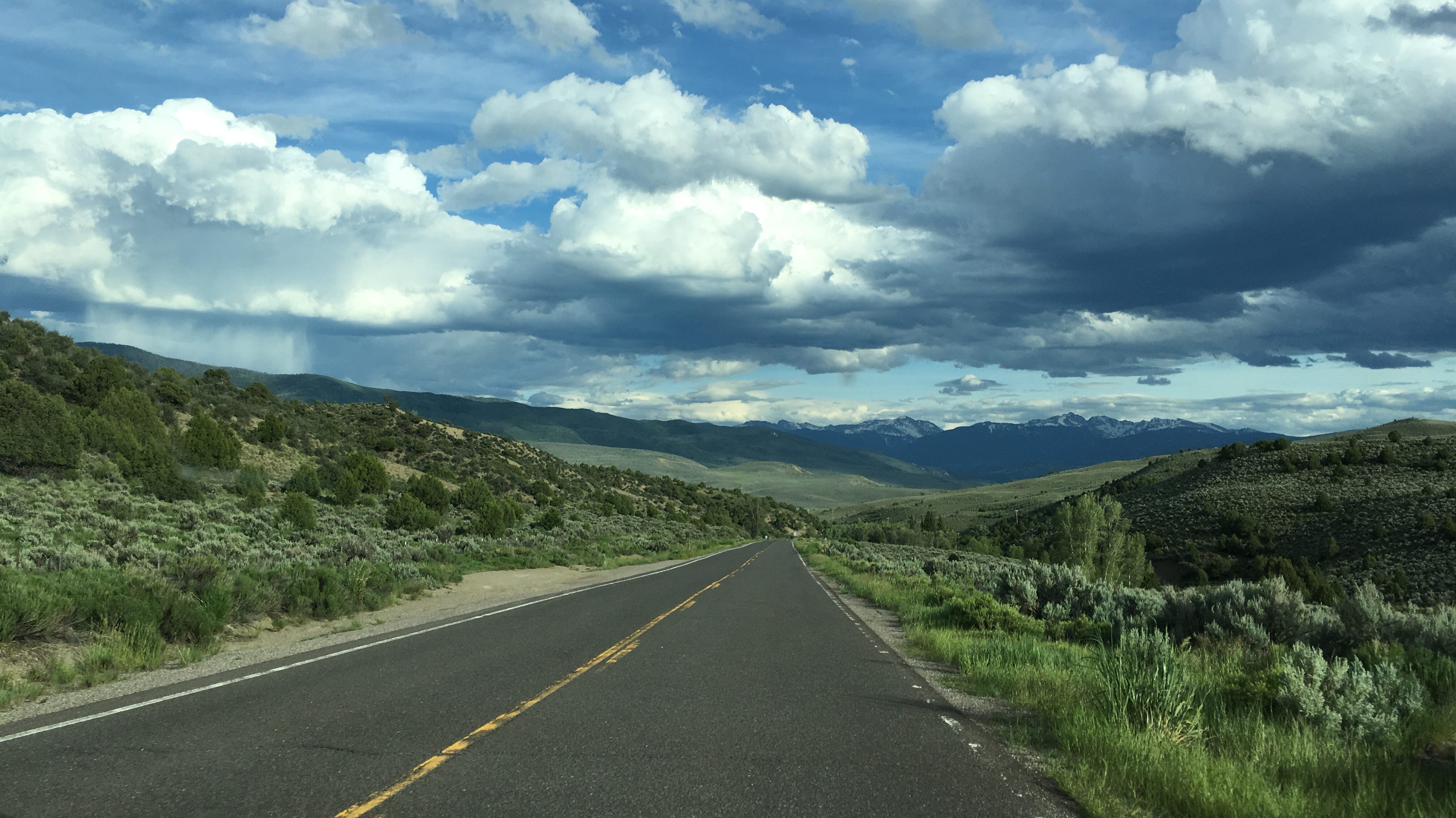
“Faster” seemed nearly impossible while driving 35 mph, white-knuckled down a gravel road with switchbacks, steep drop-offs, and very few guardrails. I’ve driven on plenty of gravel roads in my day, but nothing at all like this one. The clock was ticking away quickly while I drove like Grandma McGillicutty down this particular road. It would’ve been gorgeous scenery if I could’ve enjoyed it, but I had no idea how much longer it would be until we reached some semblance of civilization again.
Finally…we reached pavement. Trough Road turned out to be 24.4 miles, which is probably the longest 24.4 miles I have ever driven. I don’t have photos from it and I don’t remember how long this little adventure took us, but it is definitely one I will never forget!
We took Highway 131 to I70, which was another experience in itself. Colorado folks drive really fast, weaving in and out, and zipping around curves, but at least we were cruising along a lot faster than we had been!
Goodbye Colorado. Hello Utah!
When we reached Grand Junction, we stopped for gas and ice cream. Pretty sure snacks and ice cream were our supper that night! The sun had just set, but we continued on I70 toward Moab. With only a bit of lingering light on the horizon, we crossed the Utah state line, making that state #26 for the kids. It also marked the beginning of my fourth visit to the state. Driving into Utah in the dark wasn’t exactly how I had pictured the kids’ introduction to the state, but boy would they be in for a surprise in the morning! I couldn’t wait to see the red rocks again myself!
There’s nothing spookier than driving in the boonies of a desert after dark, but it didn’t take long to get to Moab and Up the Creek Campground, our home away from home for two nights. I parked, found my name and campsite number on the chalkboard, and grabbed a garden cart to wheel all of our camping stuff into the campground. The gravel in this tiny tent campground has to be the loudest gravel ever when you want to sneak in quietly at 11pm, pulling a garden cart! We made quick work of setting up our tent and settled in for the night. Our Utah adventure would begin in the morning!
If I could do it over…
Would I plan this day the same if I did it again? No, not at all…especially since I didn’t really plan any of it! We don’t ever hike in Rocky Mountain National Park due to the elevation, so we don’t need a long visit there, but if I could do this day over again, I would camp at one of the campgrounds on the west side of the park and take in the evening scenery from our campsite. I would love to experience Trough Road again, but at a more leisurely pace, and earlier in the day. Since this trip, I’ve also learned that Colorado takes much, much longer to drive through than pretty much anywhere else we’ve traveled, despite whatever times the Maps app says!
Be sure to subscribe so you don’t miss out on the rest of the adventures and if you know anyone who might enjoy a few road trip stories, please share!