

How to Plan a Camping Road Trip
How to Plan a Camping Road Trip
With Strategies for Winging It

I’m in the middle of planning our next road trip and it occurred to me that it might be fun to put together a road map of how I go about researching and planning a camping road trip. If you’ve read the trip reports from the beginning, I didn’t always “plan” a road trip. I’d find campgrounds for each day, but we did a lot of “winging it.” Sometimes that worked, but sometimes it didn’t.
When I was a kid, our family road trips seemed like we just drove until we were ready to stop for the night, with stops along the way if something looked interesting. That was what I wanted to do, only with camping instead of motels.
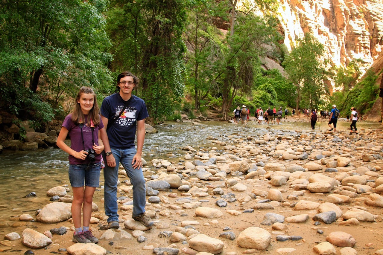
The problem wasn’t in finding places to camp, but more that we missed out on places to visit that we didn’t know existed. Nothing worse than getting home and finding out that something amazing was not that far away…like Little Wild Horse Canyon that we have yet to successfully hike after two tries.

Researching a road trip now is sort of like a hobby for me. I want to find amazing campsites, so I will scour the internet and stalk campground reservations for the best campsites. Sometimes when I can’t decide where to go, I’ll let the available campsites dictate the route. Sometimes the plan includes reservations, and sometimes it does not. I like knowing where we’re going, but I also like having the freedom and flexibility of a road trip with no reservations.
I am currently working on the fifteenth multi-state tent camping road trip I’ve ever planned. I definitely do more research than I used to. We don’t drive nearly as far in a day anymore, but we do more hiking, so I think I’ve zeroed in on what works for us, at least enough to share my tricks and tips. This post is very long, even though I ruthlessly deleted quite a bit of my rambling to shorten things up a bit. If I’m still too long-winded for one sitting, here are the links to all of the topics:
Road Trip Inspiration
Gathering inspiration is something I do year-round for ideas of where we might want to visit someday. While I am cooking supper or folding laundry, I will watch YouTube for inspiration, rather than read travel guides, but I do love to read well-written trip reports when I can find them. (If you know of any, let me know in the comments!)
I subscribe to several YouTube channels, but these are the two that have actually showed us something that we didn’t know existed that we’ve wanted to visit:
SUV RVing: Tristan goes to more obscure natural locations to hike and he does dispersed camping in a different place each night. He gives coordinates to most of the places he visits, which makes them easy to add to a route. His most recent visit to Bandelier National Monument and northern New Mexico is what inspired our road trip this year. We all thought it looked like a neat place to visit!
Justin Scarred: When Justin goes on the road, he visits mostly roadside attractions and small town museums, and he gets into the history of a place. Our 2018 trip to the Grand Canyon featured a few Route 66 stops that he mentioned in his series on Route 66, and he has a video on a place called the Tinkertown Museum that I am adding to our New Mexico trip.
There’s an App for That
Technology has provided us with some very useful tools! Here are some apps I like to use while researching and planning a camping roadtrip:
Recreation.gov App: This app is for campsite reservations at the national parks, national forests, and some BLM campgrounds. This app is also needed at some first come, first served campgrounds to scan a QR code to pay on site.
NPS App: The National Park Service has a great app for finding information about the parks. Bonus is that you can download the parks you need for a trip since many parks do not have cell phone service out in the boonies.
Maps App: I am an Apple user, so I use Apple Maps almost exclusively for route planning. Google Maps is another option but I’ve never been able to get into using that when my Apple devices come with a mapping app that is integrated with other apps. The multi-stop routing they added recently has made the app more useful, although it’s definitely not as good as the now defunct Rand McNally Tripmaker website I used to use. If you have a favorite app or website for creating a route, let me know in the comments!
MyRadar App: This app has a wildfire layer that makes it easy to check if there are any fires along our route and if they have been contained. It has the tendency to make it appear that most of the country is on fire, but if you zoom in and tap on the different fire icons, it will list the number of acres and the percentage of the fire that has been contained. I check this app right before we leave, as well as along the way, if we are going anywhere that has the possibility of being on fire. This app is also very useful if you want to avoid baseball sized hail…subscribe for that trip report!
Google Earth App: This app is one of my favorite apps for road trip research! Search for the location and then tap on the little person icon to get the street view. The blue lines are roads and the dots are usually 360° photos. I use this app to check out what the roads might look like, and more recently, I have been finding campground roads included, as well.
iOverlander App: There are more campgrounds out there than the ones that are reservable on Recreation.gov. This app will show those, along with dispersed campsites and other useful locations.
Gasbuddy App: This app will tell you the price of gas wherever you plan to go. It’s pretty handy to use on the road to check if there’s cheaper gas at the station that’s ten miles down the road. Sometimes gas prices are vastly different across state lines, as well. I’ve saved fifty cents a gallon by topping off the tank before crossing over the state line.
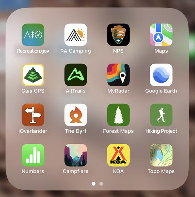
I’ve included a screenshot of my travel apps for more ideas. Some of the extra ones are used to find and track hiking trails. I should probably do more trail research than I do, but I usually just allow time in the morning for hiking and we figure out where to hike once we arrive.
Old School Paper Maps
Despite all of the technology available to us today, a paper map is still one of the best tools for planning a road trip. It allows you to see the big picture of where you want to go, and it also might reveal places you didn’t know existed along your route. I use a few kinds of paper maps:
National Geographic Road Atlas: Adventure Edition: This is a great road atlas for camping adventures to national parks! The maps in it are large enough to be usable if you don’t have a state map for a particular state. The colors on the maps are also useful to be able to see approximately where different public lands and campgrounds are located. Having an atlas is also a good tool to have on hand for looking things over before ordering bigger maps of the particular states you plan to visit.
Benchmark Foldable State Maps: These maps are the best! For $7.95, you get a map that is packed with recreation information, such as campground names, geologic features, and smaller roads that don’t fit into the size of the above atlas. They also show all of the public land designations, which can be helpful in finding out more about the campgrounds in a particular area. I could stare at these maps all day…and I have sometimes when it’s cold outside in the winter and I am dreaming up our next big summer road trip! I currently own the maps for Utah, Colorado, Wyoming, Montana, Idaho, South Dakota, and North Dakota. I just received New Mexico and Arizona, so I’m looking forward to studying them for ideas. Benchmark also makes state atlases, but I tried one for Utah and ended up sending it back because it had way more detail than I’d ever use.
Free State Maps: I should add that yes, you can absolutely use the free state map offered by the department of tourism for each state. I use those while we are on the road so my $8 maps don’t get all beat up. However, the Benchmark maps are more useful for research and planning purposes since they include more adventure information than the average free map. Specifically, the free maps usually do not include campgrounds, and Benchmark maps include many of them.
I should also add that many of the places we like to visit in the west do not have cell phone service. Navigation apps will work if you start them while there’s a signal, but if you reach your destination that has no signal, then you’ll need the paper maps to figure out where to go until you reach a signal again. Even when you’re able to start the navigation, a paper map is handy to have along when you realize, ten miles in, that Siri has sent you down a 20-mile gravel road through the mountains.
Pick a Date
Choosing dates to travel will be a fast step in the process if life dictates when you can take a road trip. Highlight those days on your calendar and continue on to the next step!
If you can’t decide when to go, figure out where to go. Then come back to picking a date after finding out the best time to visit.
Speaking of the “best” time to visit…consider the weather you’re used to at home when reading recommendations about what’s too hot or cold. I’ve found that folks will recommend not going to the desert in the summer because it’s too hot, but we’ve gone multiple times in June and a dry 95° day seems perfectly fine.
Personally, I would not want to tent camp anywhere in South Dakota in the summer, but that’s because I want to escape to where the air is dry! Perhaps the folks in the desert escape to South Dakota, where the the air is heavy and…moist…like walking in a warm, wet dishrag. No thanks! If it’s going to be hot in either place, sign me up for the desert! I’m guessing many folks would rather camp in a forest in the mountains when it’s hot, and I just have to say that leaves more summer desert campsites for us!
I also never thought we could tent camp in October because it would be too cold, but the occasional cold June night at higher elevations, has taught us that we have the gear for a 32° night. Somewhere dry in the mid-40s to mid-60s overnight is perfect sleeping weather for us! Figure out what your perfect conditions are and use that to determine when and where to go.
Other factors to consider when choosing dates would be events that will draw a lot of people, and since we’re camping…night sky conditions, such as a full or new moon. If you want to see the Milky Way Galaxy while you’re visiting an International Dark Sky Park, you’ll want to go when there’s a new moon. If you want to visit the Black Hills in peace, with normal summer tourism prices, you’ll want to avoid the week and weekends of the Sturgis Motorcycle Rally in August.
Decide Where To Go
Our road trips don’t necessarily have a “destination” because we have to travel so far from South Dakota to see the places we have not been, but it helps to choose one or two places to give a little direction to the planning.
I had been thinking of visiting Great Basin National Park this year, but I wasn’t finding anything along the way that inspired me, and that we hadn’t seen before on our many trips through Utah. My research also indicated that they have a lot of construction happening this summer, so perhaps next year would be a better time. Then a couple weeks ago, SUV RVing had a video that included a hike in Bandelier National Monument.
That looked fun, and the mileage checked out for how far I wanted to travel on this trip. I wouldn’t necessarily call Bandelier a “destination” type of park, but it’s the inspiration for this particular trip. We have not been there and it’s been on my list for a while. Northern New Mexico has some beautiful scenery we have not seen yet, plus it is considered “high desert” so it will fulfill our love of camping in the desert.
I should also mention not to discount the national monuments and historic sites. I’ve seen them referred to as “B-tier parks” or worse, “C-tier parks.” We never used to go out of our way to stop at them, but we’ve visited more of them and have enjoyed them just as much, if not more than the so-called “crown jewel” parks. They are definitely worthy stops on any road trip, even if the topic doesn’t seem like it would be all that interesting.


Determine the Number of Days, Miles, and Hours of Driving Time
I know some folks make plans based on the number of hours on the road, but I guess I’ve never planned that way. I’ve always planned for the total number of miles, even before renting a car that has an allowance of 300 miles per day. I let that be my guide for how far we can go. This year’s trip is going to have to fit into nine days, which happens to be a week and two weekends, so we have 2700 miles to work with.
In case anyone wonders why in the world I would choose a rental company that doesn’t have unlimited miles, I do have that option for an extra $20 a day. They charge $.20 a mile after the allotted amount, so most of the time, it is cheaper to go with the 300 miles a day and if I go over by 200 miles, it’s only going to cost me $40 to make it a 2900 mile trip instead of a 2700 mile trip. It would cost me an extra $180 to have unlimited miles for the nine days and I might only go the 2700 miles anyway. I could also add an extra rental day and get another 300 miles, but I can get more than 300 miles for the same price as an extra day if I just pay the $.20 a mile. As they say…your mileage may vary, but it’s worth doing the math to save a few bucks!
I rent from a local car dealership, which also guarantees that I will have a vehicle to rent on the day that I want to rent it and almost always, that vehicle is the make and model I have chosen to drive. Many times, I’ve even been able to drive a brand new vehicle with under 5000 miles on it. It’s worth checking if any dealers do car rentals in your area!
If you’re not renting a car or needing to keep within a mileage allowance, then you maybe don’t need to worry about the number of miles, but it’s also helpful in determining how much gas money you’ll need if you’re on a budget.
Choose a Route
Now that we know we have nine days and 2700 miles to work with, AND we can get to Bandelier National Monument within those parameters, we have a few options on how to get there. The first thing I do is start looking at campgrounds along the way of the various routes to see if that will be the deciding factor.
Our trips to the west or southwest, pretty much always include a night in the Black Hills or the Bighorns. It’s easier to find a campground for the first night there, rather than in say, the middle of Nebraska or Kansas, plus I prefer the drive through Wyoming and Colorado over the vast nothingness that is found in western Kansas.
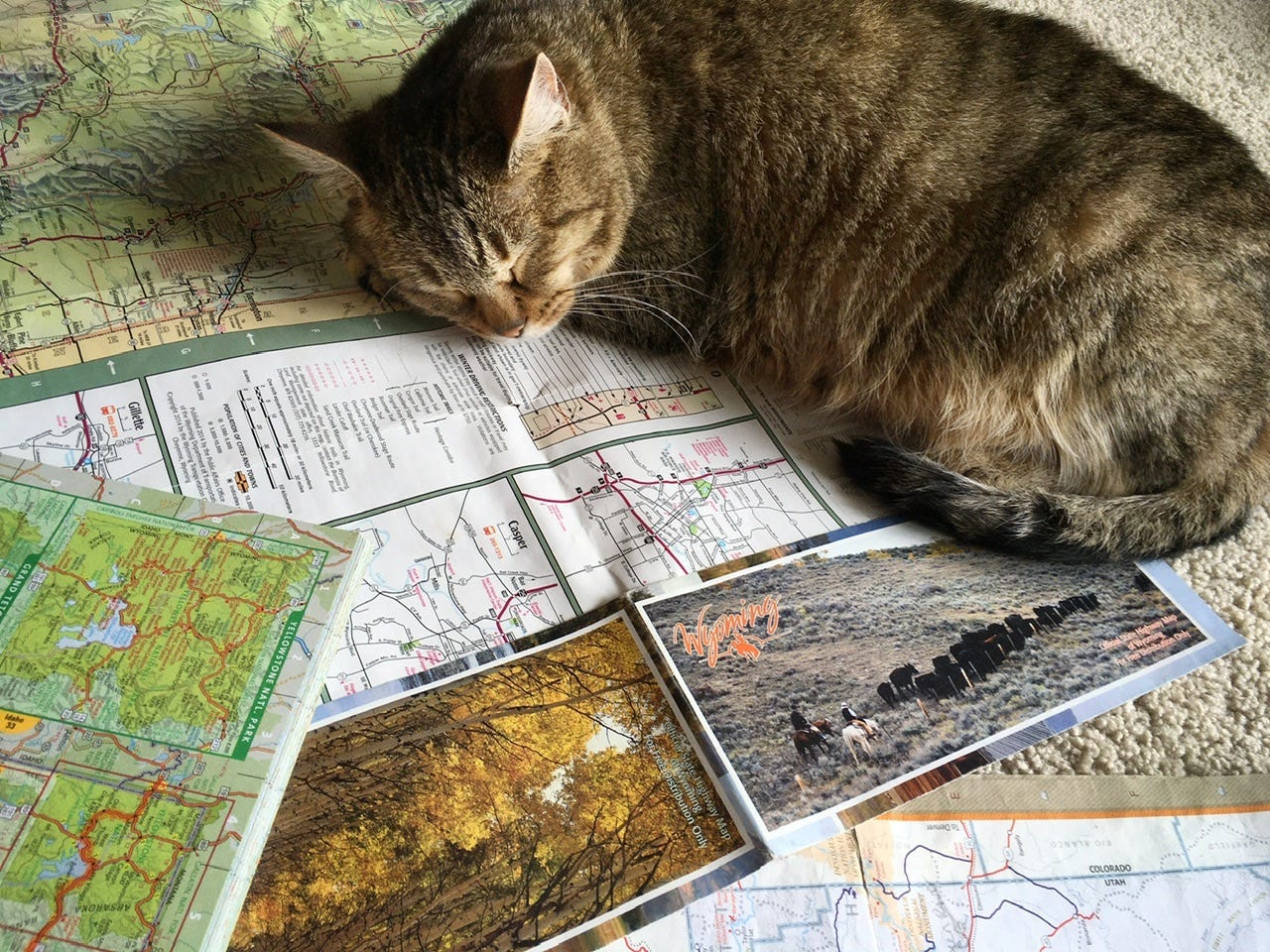
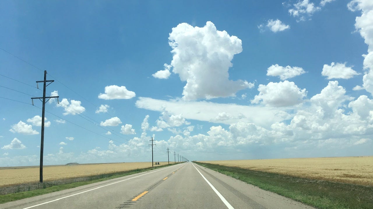
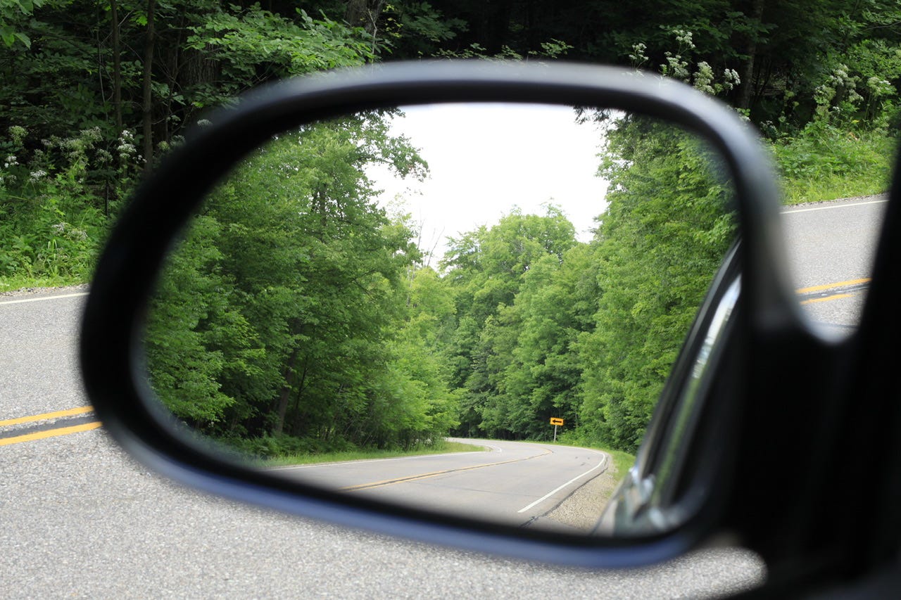
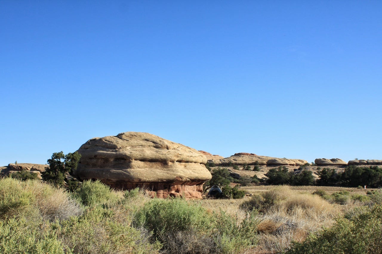
It’s something like this…
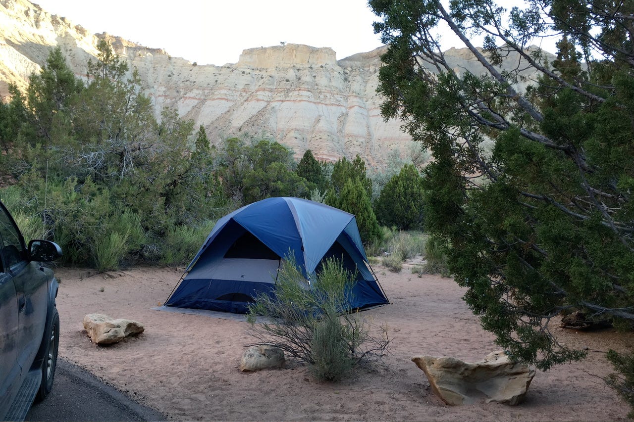
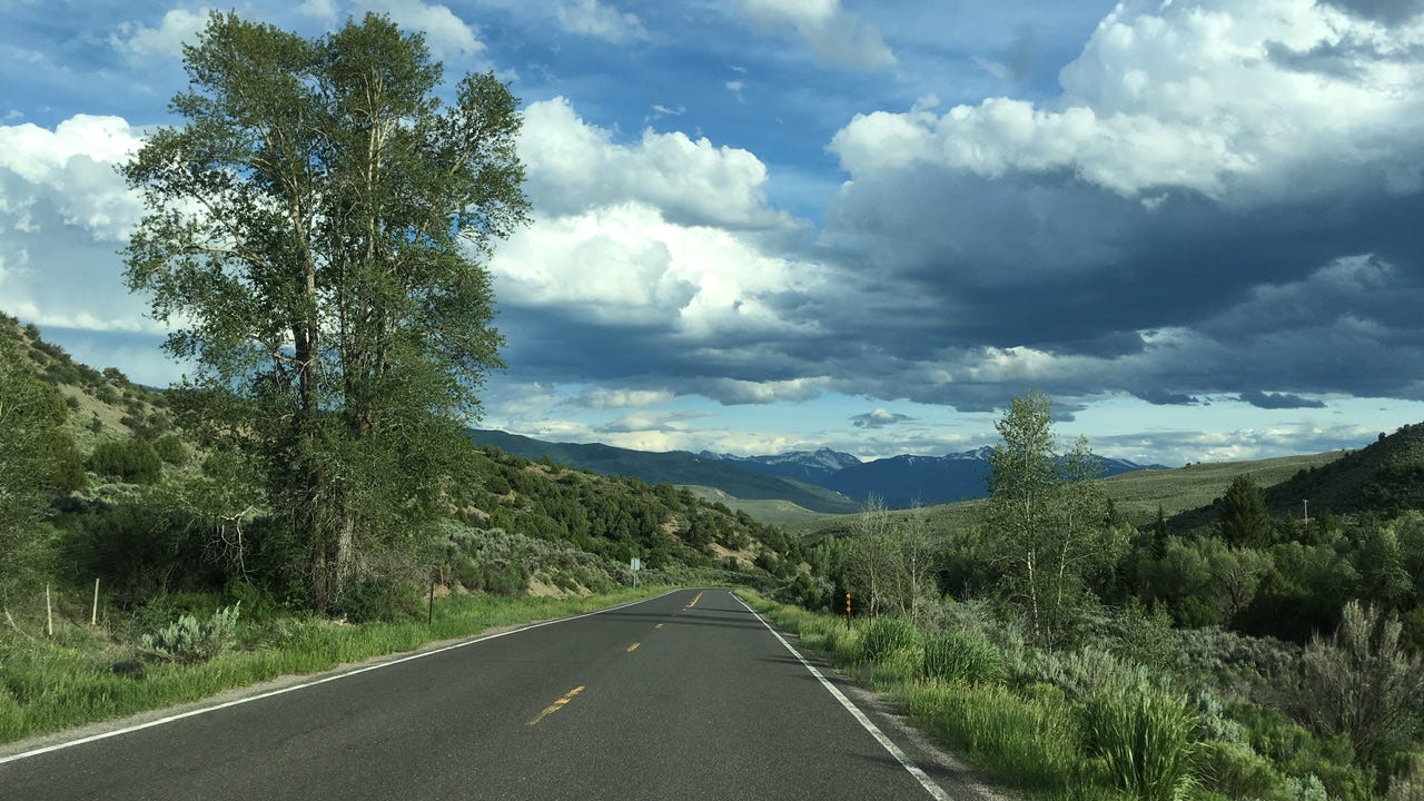
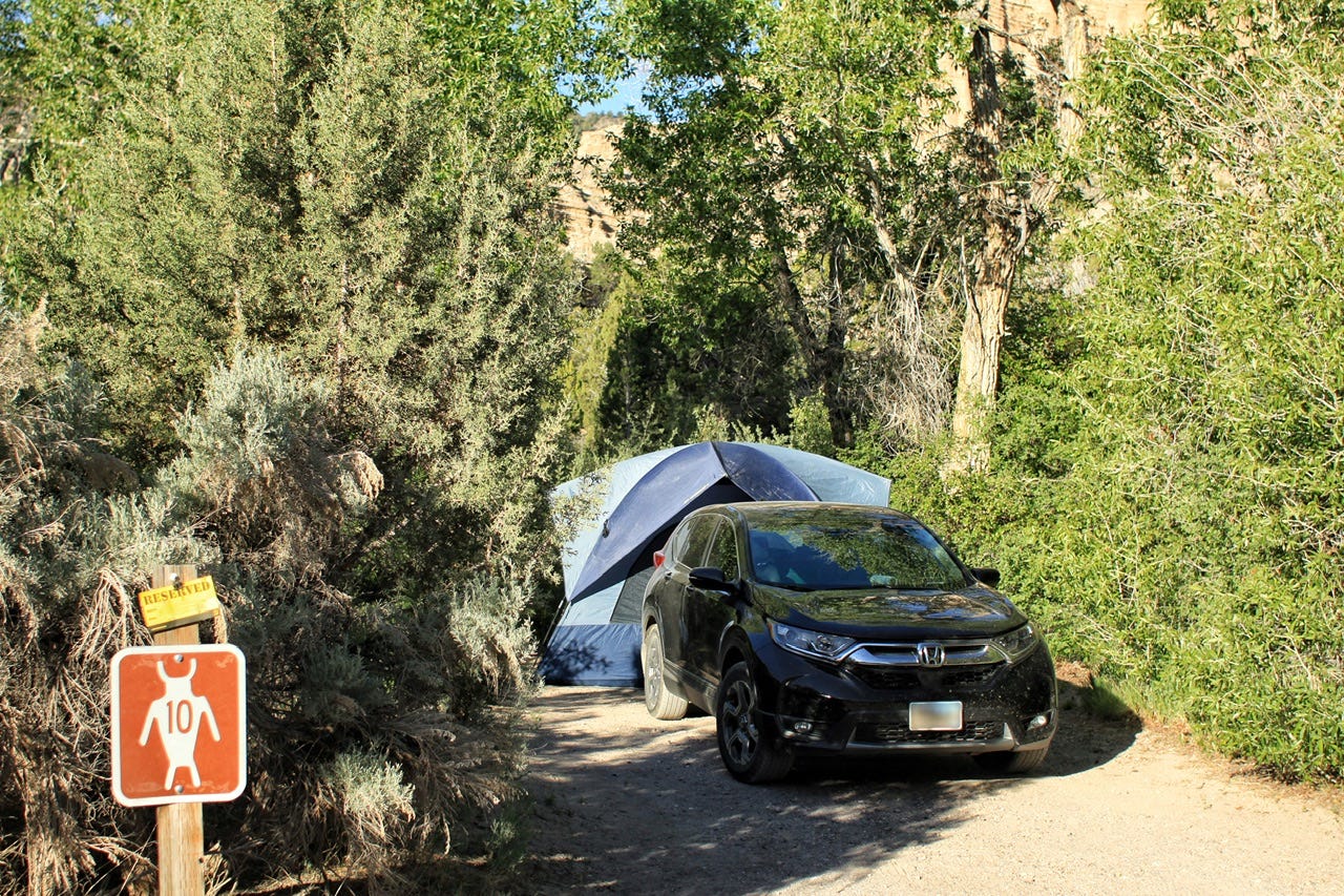
Versus something like this…
As cheese-y as it may be, I think our road trips are more about the journey and not so much about the destination. I try to curate a loop of many great locations, rather than hustling there and back across boring scenery to spend a week in one so-called “must do” place….that everyone else is also visiting at the same time.
To find the best scenery, and roads to travel, I will snoop around on Google Earth. Sometimes that’s enough to know a road looks good. If I’m still not sure, I’ll search for the highway number on YouTube, where there are numerous channels dedicated to time-lapse videos of almost any road one might want to drive. I don’t necessarily watch the entire video of a road. I usually just watch the preview as I slide the slider across the video and take a closer look at anything that looks interesting. If that “scenic byway” is a tree tunnel for the entire video, I’m not sticking around to watch, nor am I adding that to the route!
For the trip I’m planning, I’ve decided on camping somewhere in the southern Black Hills the first night and Vedauwoo Campground in Wyoming for the second night. We’ve camped in Vedauwoo before and it’s a nice campground. That location also sets us up for the next day’s drive across Colorado. Since we are coming from an elevation of 1565 feet, we’ll also have a couple days to acclimate to 5000 feet and 7000 feet elevations before visiting much higher elevations in Colorado.
Researching campsites goes hand in hand with choosing a route. If I find a cool-looking campsite, I make the route go there. If I find a scenic highway to drive, I look for campgrounds along the way. Some areas are more challenging than others to find a campground that looks good. This is another instance where the apps and the Benchmark maps come in handy.
When I’ve found a possible campground, I will read the reviews and if those sound good, I’ll watch a few campground tour videos on YouTube. Most of the time, recreation.gov will have a photo of each campsite, but if not, then I’ll try to find other pictures. Google Earth Street View is also getting more and more campgrounds added, so I’ll take a look at the sites on there. I probably spend too much time on each campground, but we’ve also felt the earth shake at 3am when the local train rattled past a little city campground I hadn’t researched at all. Subscribe for that story!
Now that we’ve figured out the first couple of nights, I’ll keep looking for the next campsite that is a reasonable day’s drive away from the last one. From Vedauwoo, we could make it to Bandelier National Monument in one long 7.5 hour/487 mile drive on I25, or another route through the mountains is 489 miles and claims to be 8.5 hours. I can look for something else in between to break up either of those drives or we can just get to where we’re going.
My personal limit is a 500 mile day, and I don’t want to camp above around 7500 to 8000 feet of elevation, but I spotted a neat looking campground called Penitente Canyon Campground, which would be a 5.5 hour day with 338 miles of driving. If we stop there, we’ll have more time for random stops along the way, plus the geography looks interesting in that area. I saved that campground to my favorites in recreation.gov.
Sometimes I will let the availability of campground reservations determine the route, but all of the campgrounds I’ve looked at have plenty of campsites available so I don’t need to reserve anything at this point. I keep checking road and campground options until I come up with a loop of places we haven’t seen before.
Check Your Work
I start plugging stops into Maps as I go, so I don’t get too far off track for total miles, but once I have found all of the campgrounds and other stops we want to make, then I will double check that each day makes sense with the miles and hours we would need to travel.
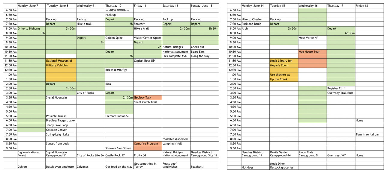
I made a spreadsheet template to keep track of where we want to be and when. Green is driving time. Gold on this particular trip is when Megan had a couple of Zoom meetings, and the coral was scheduled ranger talks. White is hiking or visiting whatever location is listed. Planned campsites are at the bottom, as well as the evening meal plans and other notes that go with each day.
This was the first road trip that I planned using a spreadsheet. The one thing I learned from this one was to note the opening times for visitor centers. We took our time getting to City of Rocks on Wednesday, but then the visitor center was closed when we arrived, so we had to move that to Thursday morning, which then bumped everything else down and we arrived at our campsite after dark. If I had noted the visitor center hours, we could’ve either hustled a little more to arrive in time, or I could’ve allowed for the opening time on the next day.
Having a road trip all spelled out in a spreadsheet may not seem like having the freedom and flexibility to do whatever we want, but we don’t really follow the spreadsheet while we’re on the road. I use it to make sure that what we want to do is possible with where we want to camp, and to see how much driving will happen each day. I’ve plugged in a bunch of stops on a trip before and realized that the number of short drives I thought we could do would not fit into a day if we also wanted to look around a bit. In that case, I’m either going to take a stop or two off the list or see if I can find a different combination of campgrounds so we can spend a little more time where there is a lot to see and do.
When we’re on the road, the end goal is still whatever campground I have planned for that night, and hopefully, I’ve allowed enough free time in the day to stop and look around at whatever we happen to see along the way. If we spend too much time somewhere, then we might have to take something else off the list. Making the spreadsheet has helped with being more realistic about what we can or can’t do in a day.
To Reserve…or Not Reserve Campsites
That is the question. Sometimes.
If everything looks good, then it’s finally time to reserve a few select campsites. I will reserve nights in campgrounds that don’t have very many sites left and campsites that happen at the end of a long driving day. We don’t stay two nights anywhere very often, but that might also be something I would consider reserving.
As tempting as it may be to book every single night, I don’t recommend doing that. The trip on the above spreadsheet would’ve worked out better if I hadn’t reserved so many nights. We couldn’t stay the second night in the Needles District because it was 108° there during the day and wildfire smoke was blowing our direction.
We decided to bail out early enough to cancel the second night, but we also couldn’t move on to anywhere cooler because we had a non-refundable night reserved in Arches after that. There have been a few times where if I hadn’t reserved a campsite, we could’ve stopped earlier, rather than needing to continue on to the reserved site. I could make a pretty big list of reasons why reserving campsites hasn’t worked out in one way or another, so I try to avoid making reservations if I can.
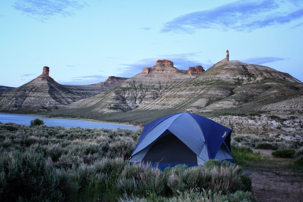
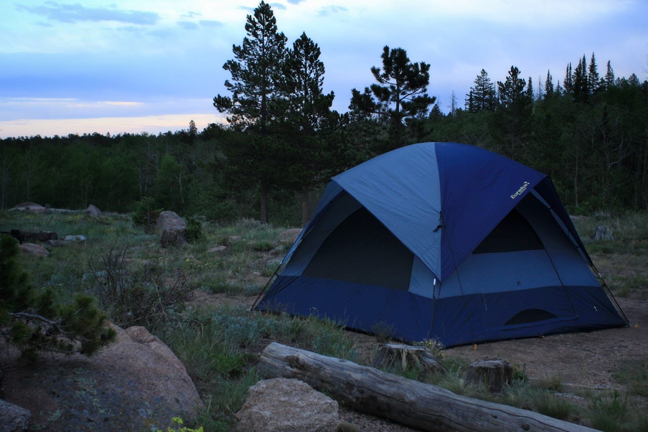
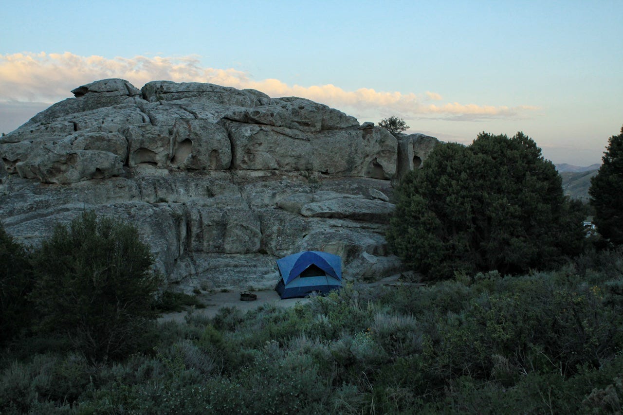
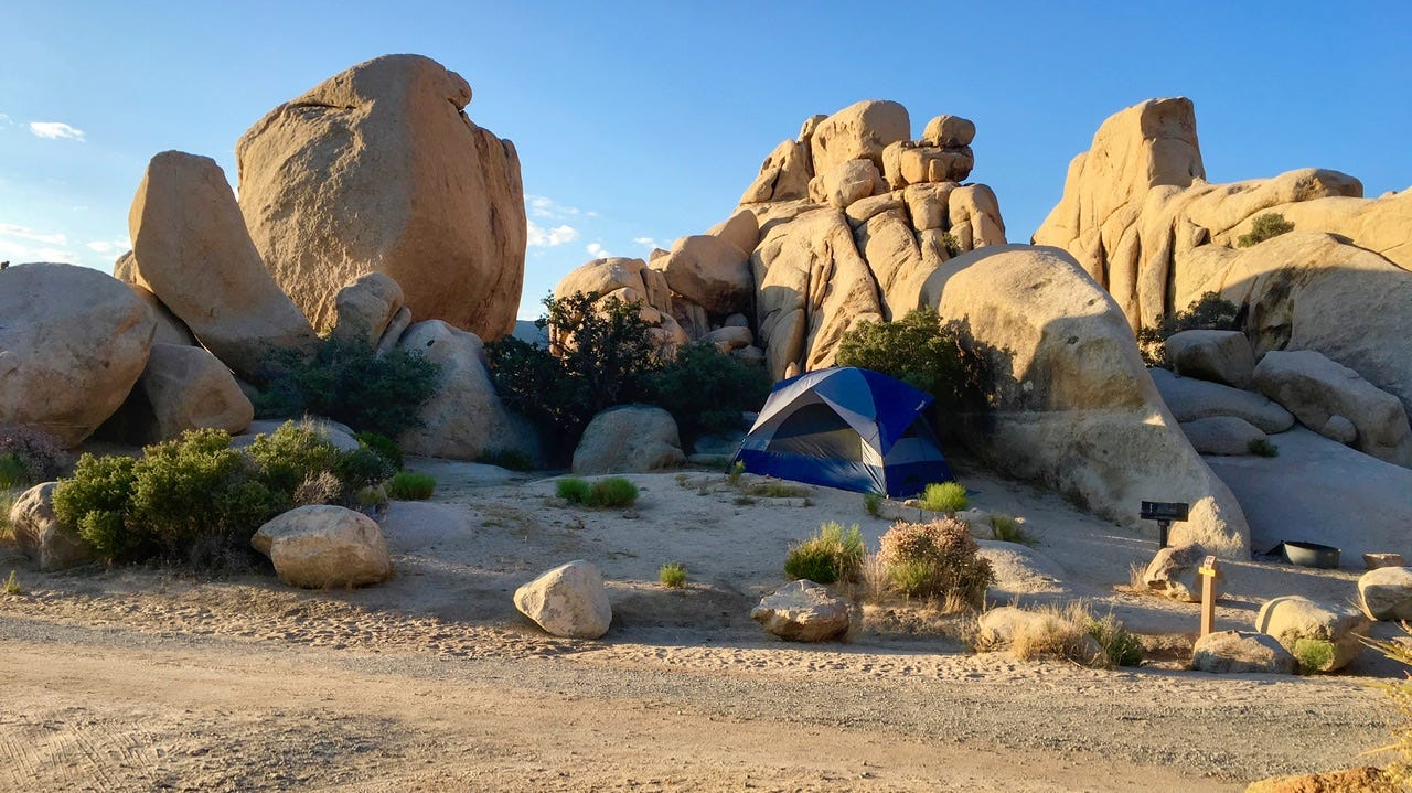
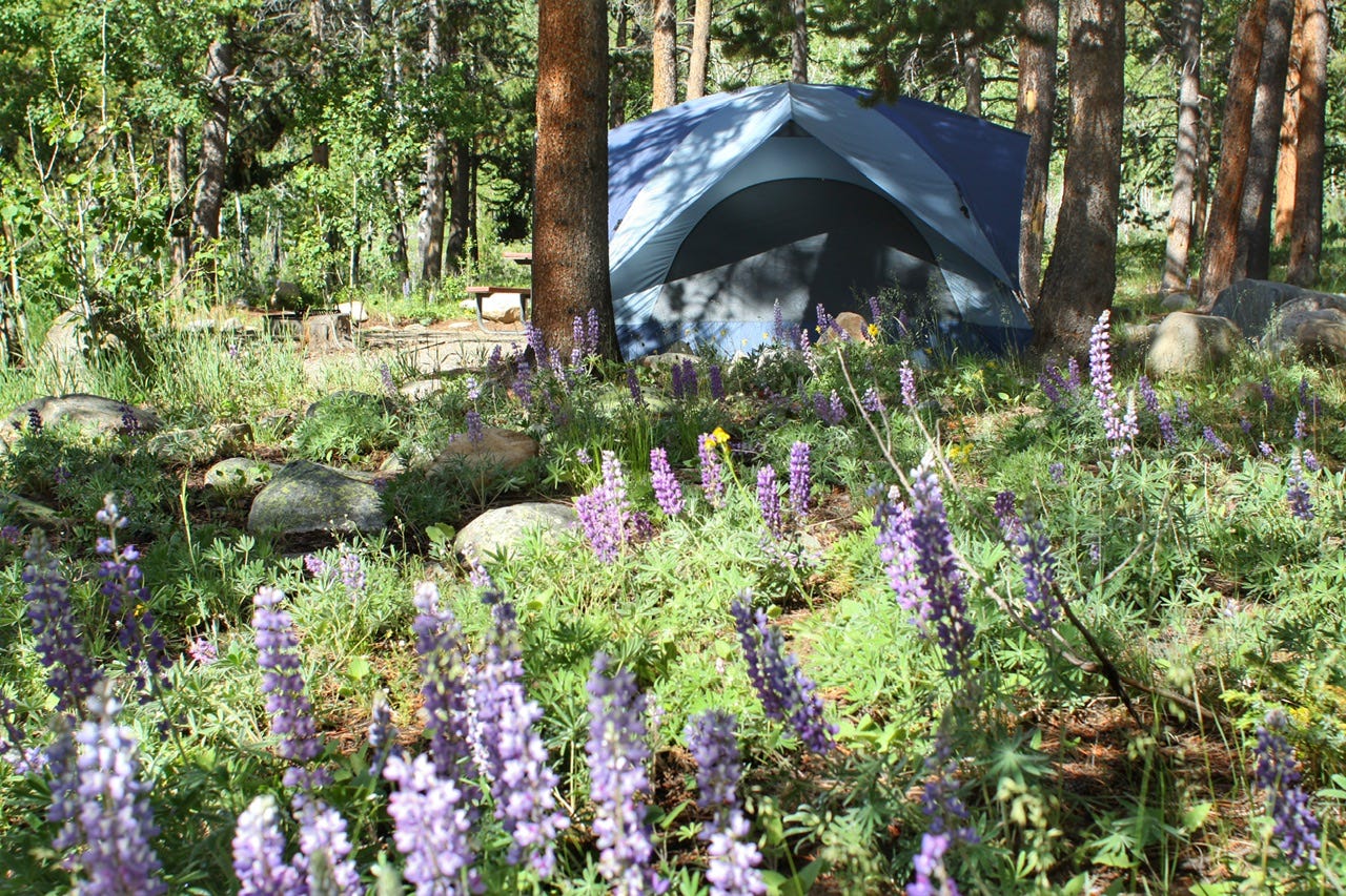
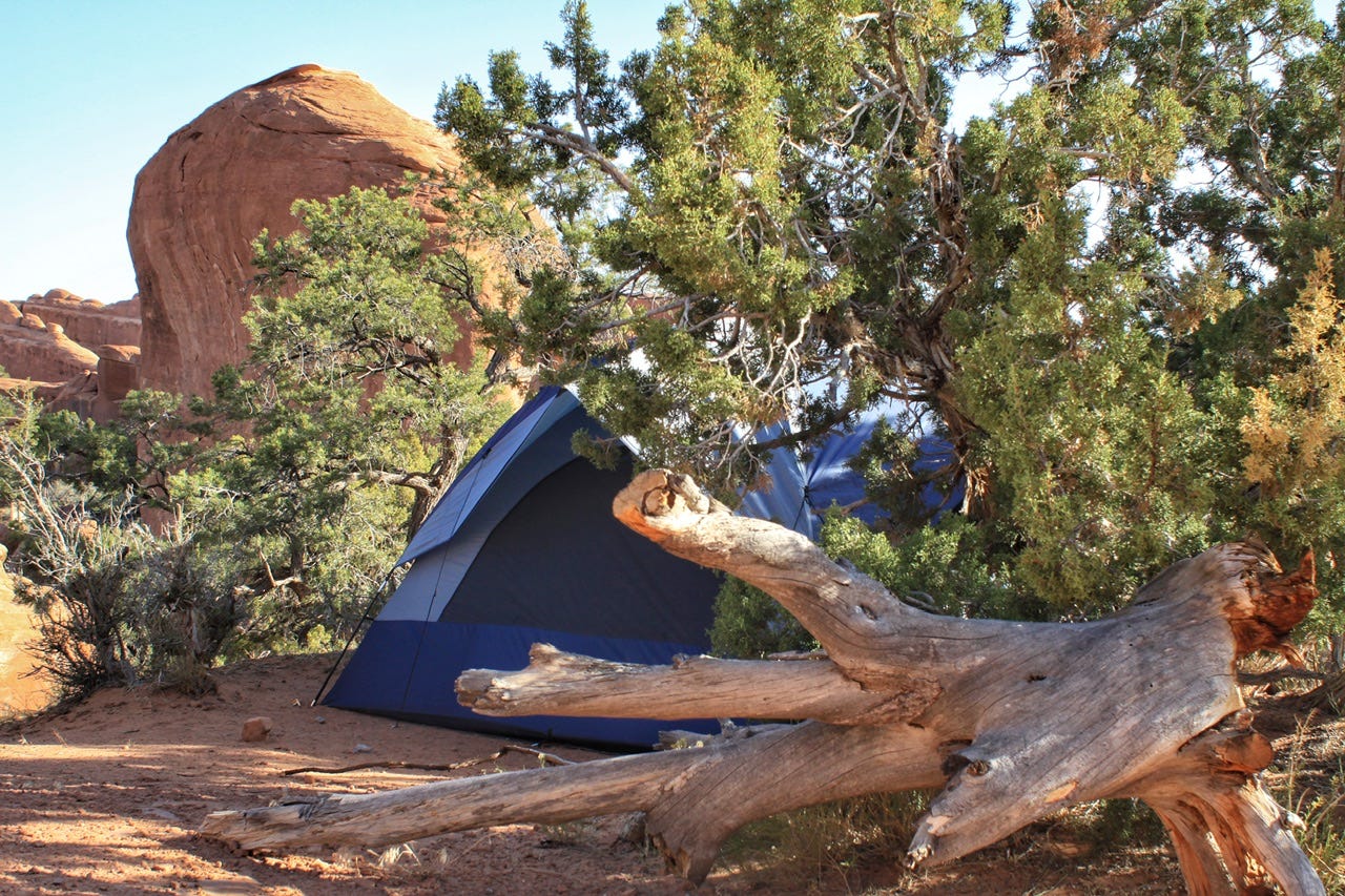
I’m not sure we’d have been able to camp in some of the epic campsites that we have, if it hadn’t been for doing some research in advance. However, many of our very best campsites were first come, first served sites that we picked on the spot. Some of our worst nights were spent in reserved campsites. Out of curiosity, I counted up our campsites and we’ve camped 71 nights in the Eureka! Sunrise, with 46 of those nights at first come, first served campsites. I have been curating a Campsite Photos page for inspiration and that includes 67 campsite photos. It’s been a fun way to see almost every campsite we’ve ever stayed in with our Eureka! Sunrise 11.
If you’re someone who feels better having a every campsite locked in, then by all means, book them up! We’ve been at both ends of the pendulum with many reserved nights vs. no reserved nights, and I’ve settled on strategically reserved nights as the best option for us.
When to Start Planning
Perhaps this should’ve went first, but I didn’t really think of it when I started writing this tutorial a couple weeks ago. I had just started digging into the planning of our summer 2024 road trip. We rarely decide on somewhere to go more than a couple of months out from when we plan to leave.
I’ve tried to plan in advance, but we haven’t had good luck with getting to go on those trips. In December 2019, I reserved two nights at the Needles District Campground in Canyonlands and a week or two before we should’ve left in June of 2020, the National Park Service cancelled all of our Utah reservations due to the coronavirus. I was able to re-create parts of that trip in 2021, but it was replaced with a last minute trip to the Bighorns in Wyoming as our 2020 road trip.
The Yellowstone flooding cancelled our plans for visiting Montana and Idaho in 2022, a trip I had been working on for several months because there are so many beautiful places to choose from. Both of those trips were replaced by new, last minute trips where we had no plan at all and most of the nights were at first come, first served campsites.
It’s really going to depend on where you want to go as to when you need to start planning and if you need to reserve campsites. If the plan is to spend a week in Yellowstone, then that’s going to require a lot more advanced planning to know exactly when and how and where to reserve campsites to make that work.
On the flip side, though, if you are flexible with when and where to go, there are cancellations happening all the time on recreation.gov. I don’t think any of the reserved campsites we’ve ever been able to camp in were booked more than a couple weeks to a month out from the reservation. Most of them opened for booking six months out. When Yellowstone flooded, we picked Moab as the alternate at the last minute because there happened to be two nights available just days before we left. It is possible to go on a very successful road trip without planning it for a year in advance, or reserving every night of the trip.
Closing Thoughts
The whole point of this post was to share how I plan our road trips, but in reality, our favorite road trips have been the ones without much of a plan. I enjoy the hunt for the perfect campsites and knowing where we’ll camp, but once we’re on the road, I really like doing whatever sounds fun that day. The difference between now and earlier trips is that I do more research to learn about what’s out there, and how long it might take to visit, so we can visit all of the places that sound fun!
If you take anything at all from this tutorial, doing some research on where you want to go, so you can be better prepared to wing it, would be my best advice.
If you’re someone who is itching to hit the road next week and you want to go where the wind blows you, it’s still very possible to do a road trip like that. The next trip report I’m working on is that kind of trip! Be sure to subscribe to find out how it went!
Tell me about your favorite road trips! Have you planned every minute or was it more of a “choose your own adventure?” Did you reserve every night or none at all? Leave a comment below!