


I opened my eyes to the sound of something munching on the grass outside of the tent. I didn’t really think anything of it because we’ve often seen deer near our tent in other places, and we could see plenty of them at home. For all I knew, it might have been a squirrel. My phone said it was 6:25 am. I was warm and cozy and didn’t want to get up to peek out the windows to find out, so I went back to sleep.
Day Four
Wednesday, July 1, 2020
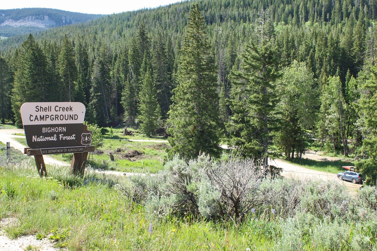
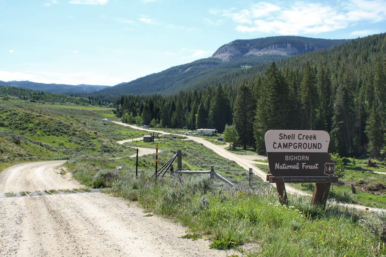
Shell Creek Campground
Bighorn National Forest
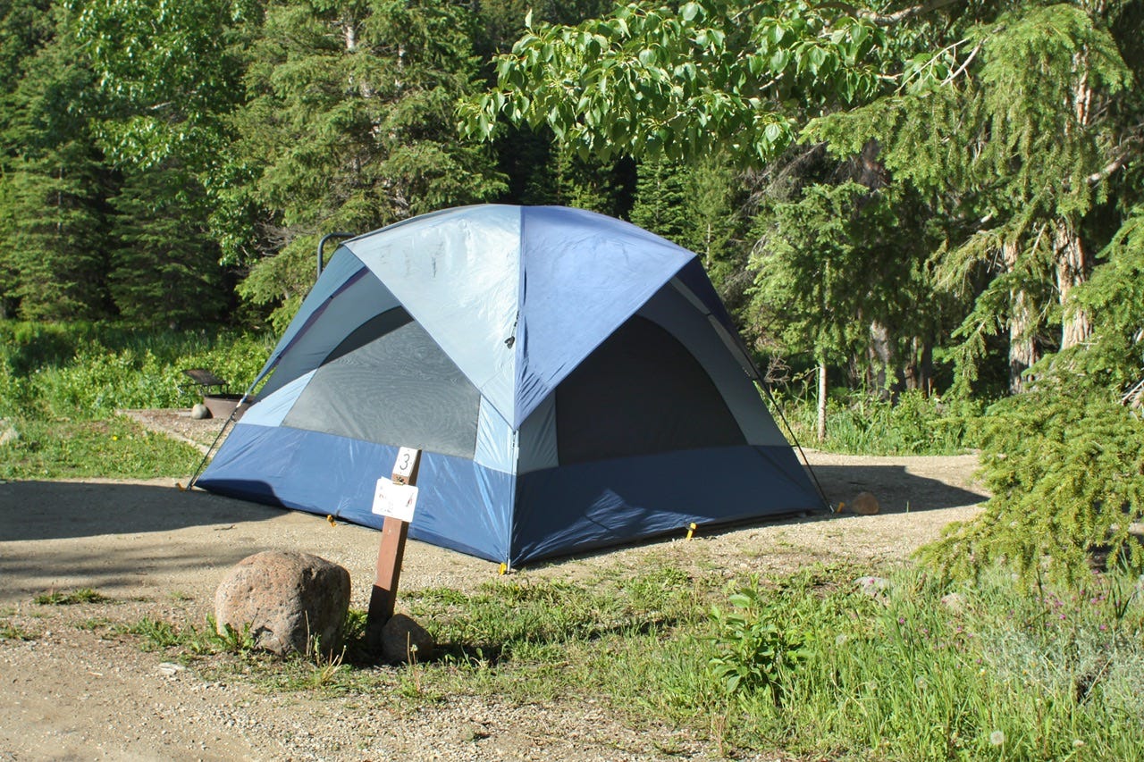
The Moose We Didn’t See
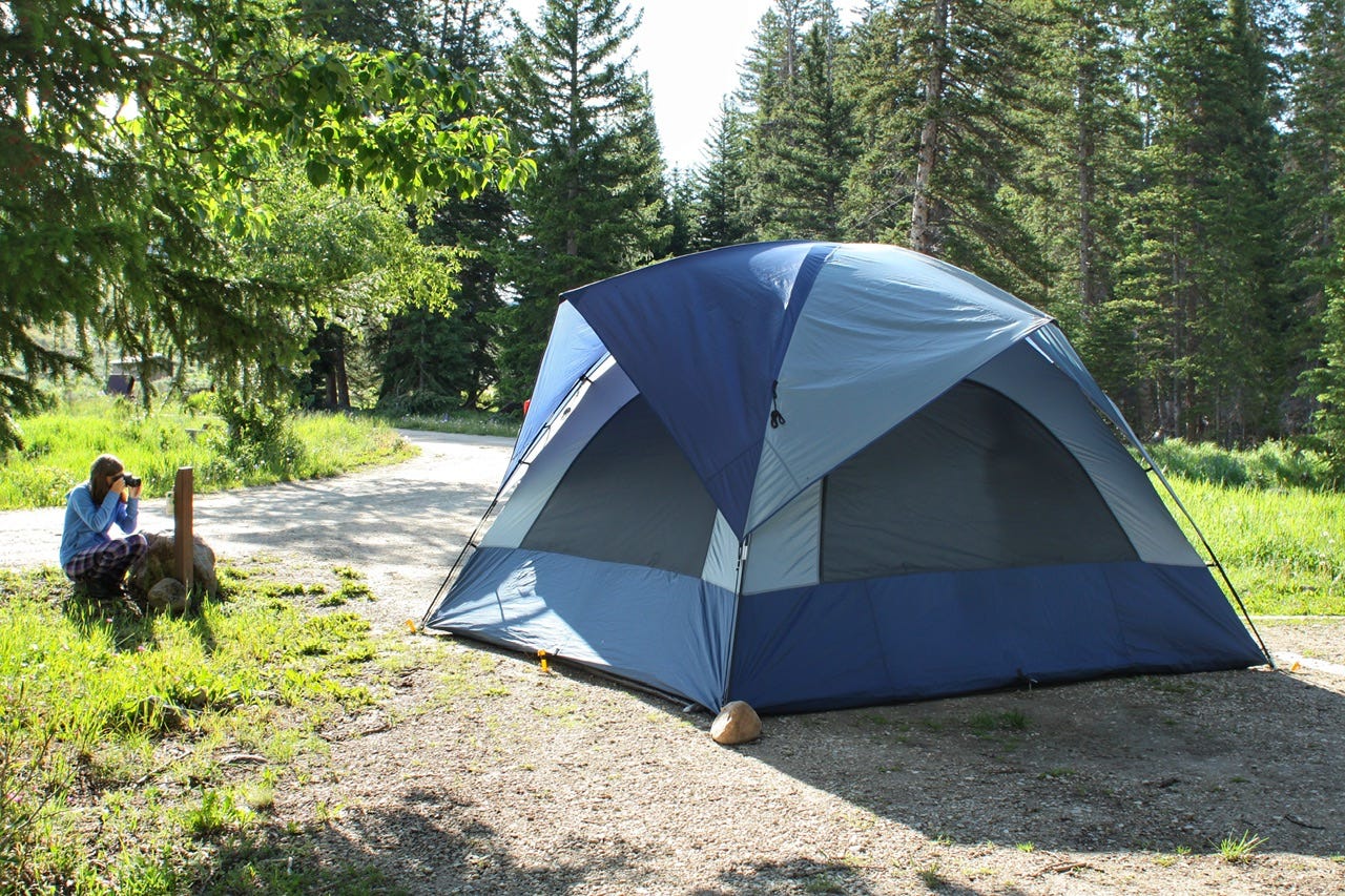
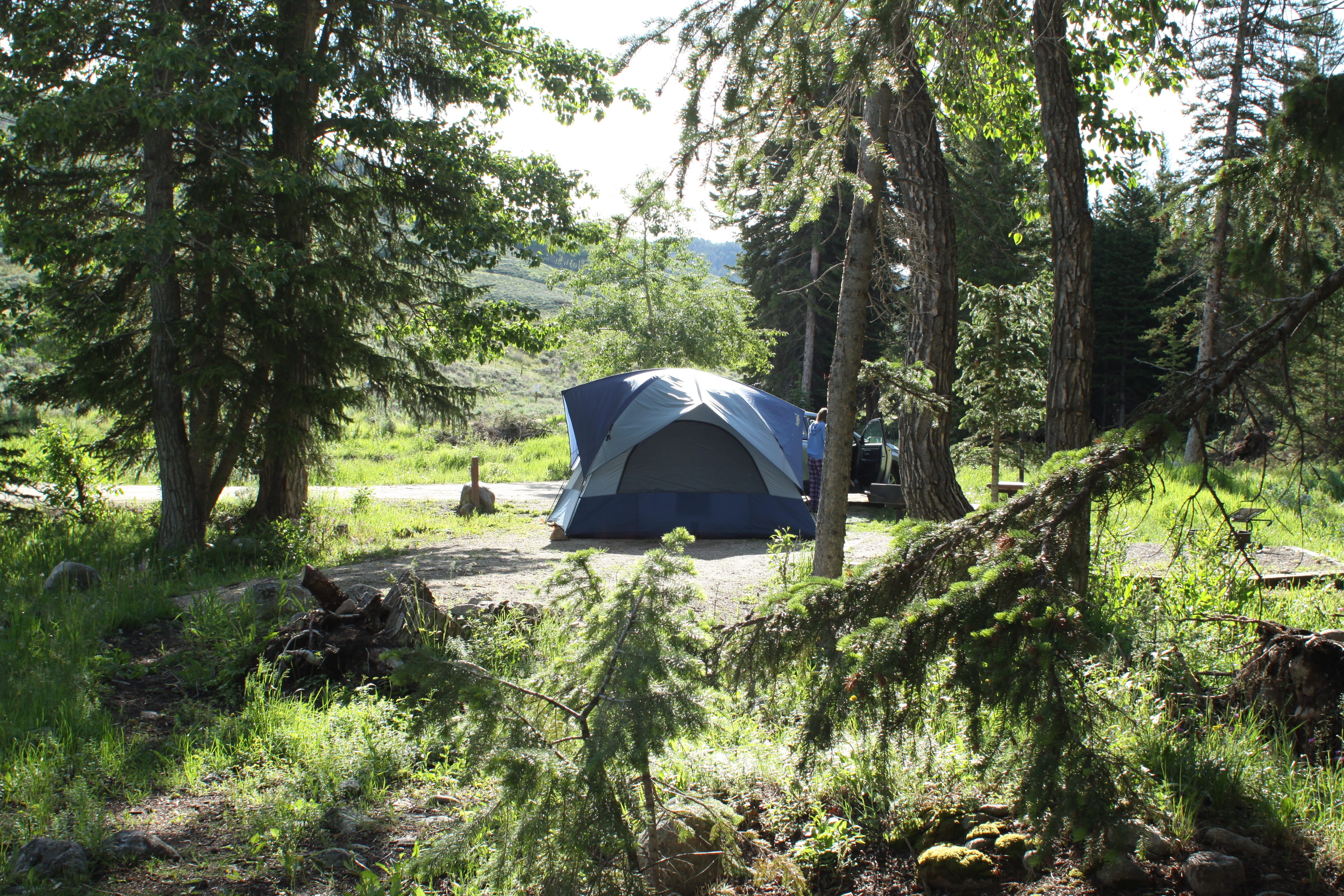
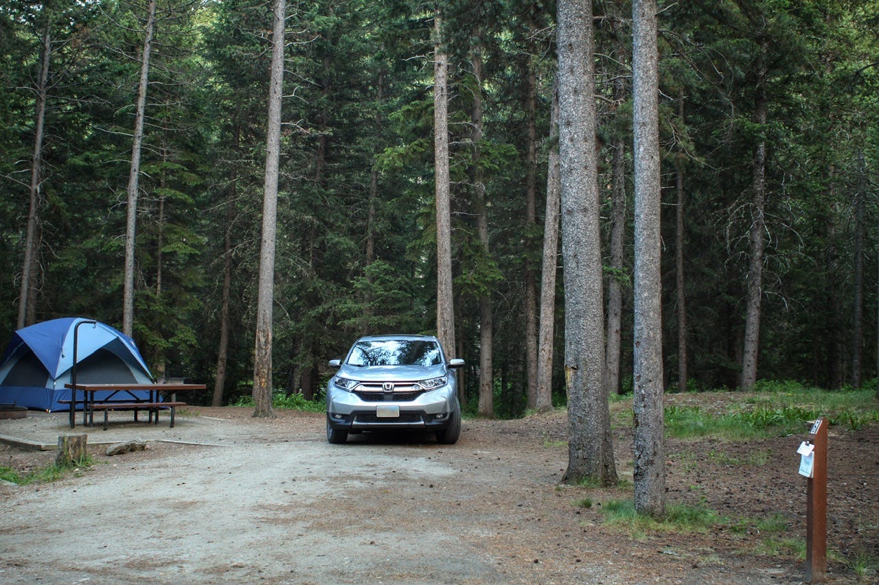
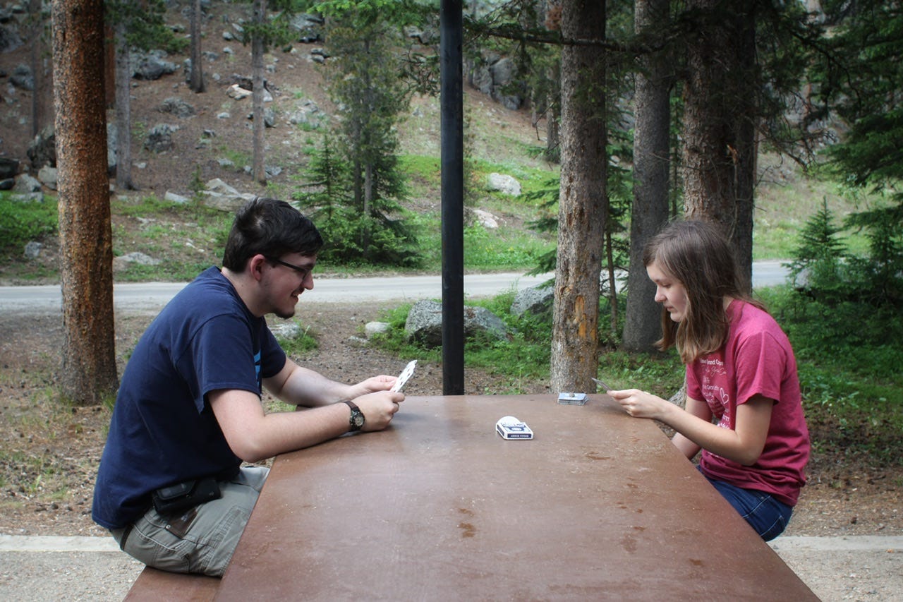
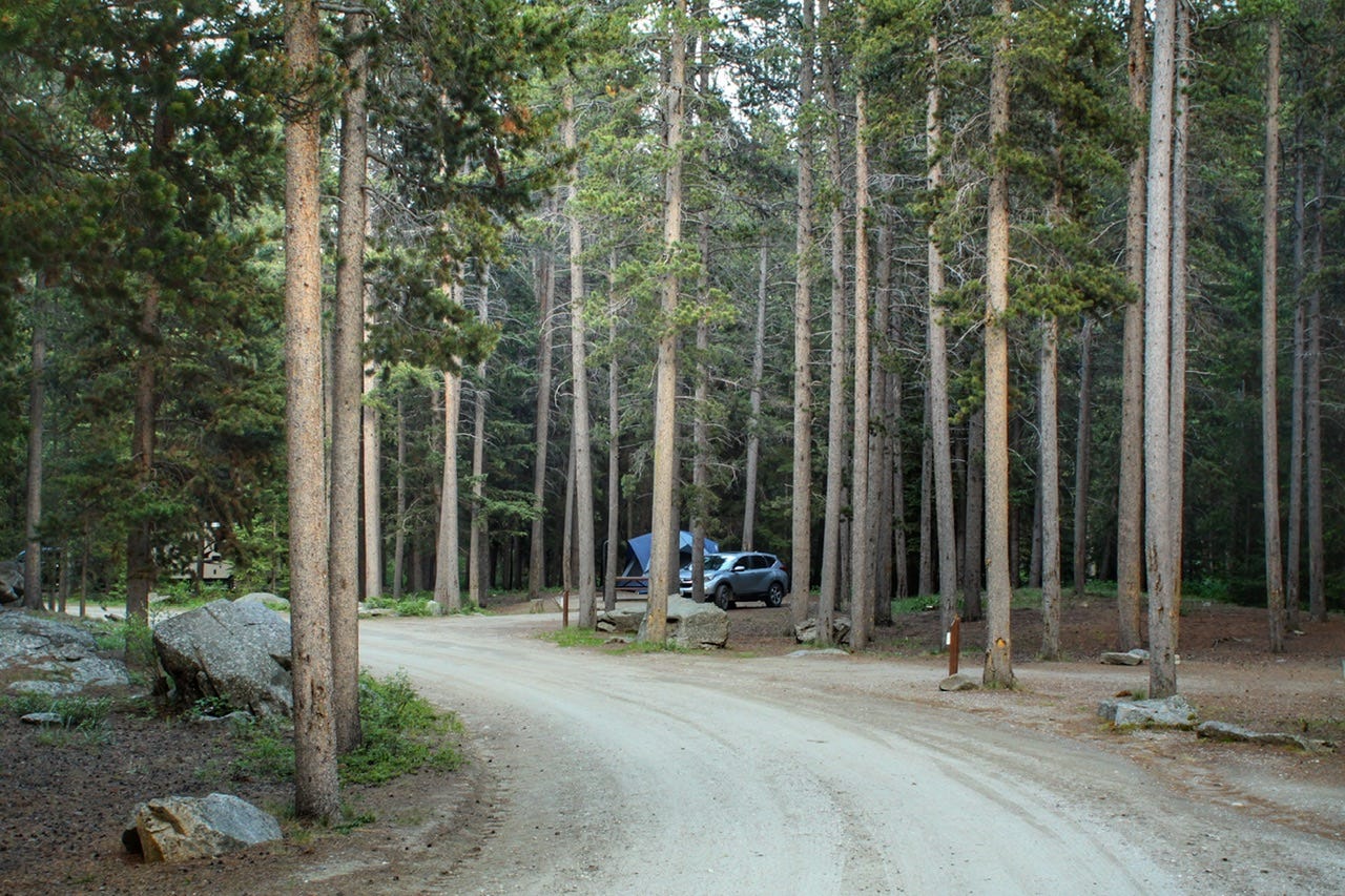
We got up for the day around 8am. I went through my usual routine of photographing our campsite, filling water bottles, and pulling out our breakfast. We were not in any hurry to leave because we didn’t really have a plan for the day. While we were packing up, our neighbor in site 2 came over to ask if we had seen the moose that had walked between our tent and his. We told him that no, we had not seen it, but I had heard a noise outside the tent at around 6:30am. He said that’s when he saw the moose!
We had met him the night before when we learned that he was a photographer, so I asked him if he happened to take any pictures, but he said he had not. I guess that’s probably good, since it would be a little creepy if a dude next door was photographing our tent while we were sleeping in it! It would’ve made for an epic tent photo, though!
I’m not entirely sure what my reaction would’ve been if I had looked out and saw a moose standing near the tent. Generally speaking, you don’t want to be anywhere near a moose and the only thing between us and the moose, was a bit of polyester. I kind of chuckle at the fact that I heard a munching noise right outside the tent and didn’t even bother to look. To be fair, though, if I had got up to look, chances are good that I would’ve decided I needed to use the restroom, and then I wouldn’t have been able to get out because there was a moose standing outside the tent! At least, that’s what I’m telling myself!
We finished loading everything and set out for the day’s adventures, not knowing where we wanted to end up for the night. So far, we hadn’t gone wrong with any of our campground choices, so I knew we’d find something great a little further down the road.

After our chat with the campground neighbor, who had told us how many moose he had seen all over, we decided that we wanted to see a moose, too. We headed back to the Granite Creek Overlook where he had seen them earlier, but they were no longer around, at least not that we could see.
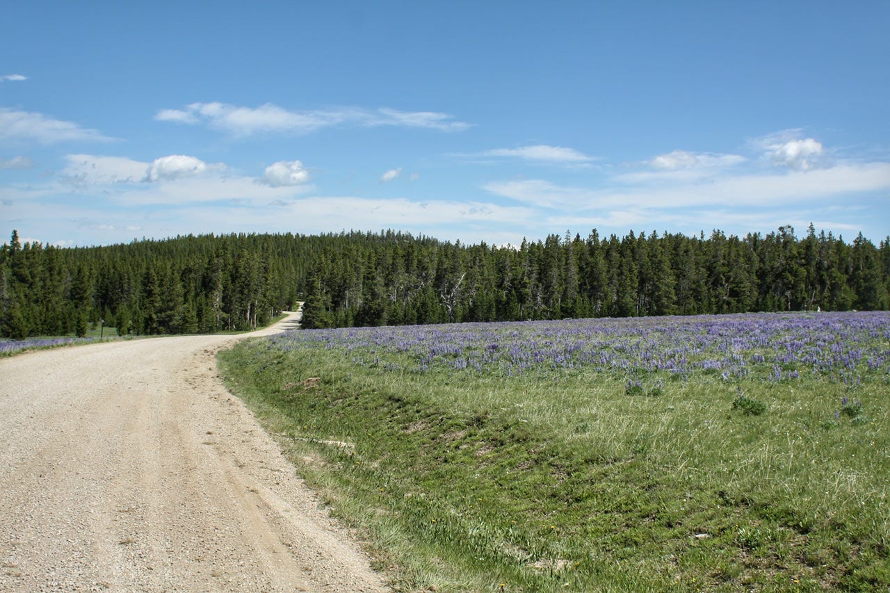
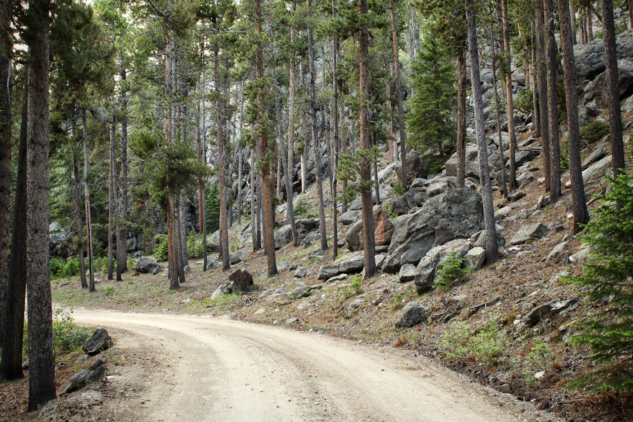
Campgrounds usually have a mile or two of gravel roads to reach them, so we went in search of moose on those roads, knowing we wouldn’t end up too far off the pavement. We could also check out future campgrounds to camp in at the same time. We never spotted any moose on those campground roads, but one of those roads took us past a meadow full of lupines!


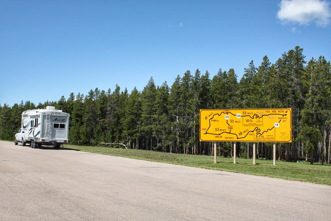
Burgess Junction
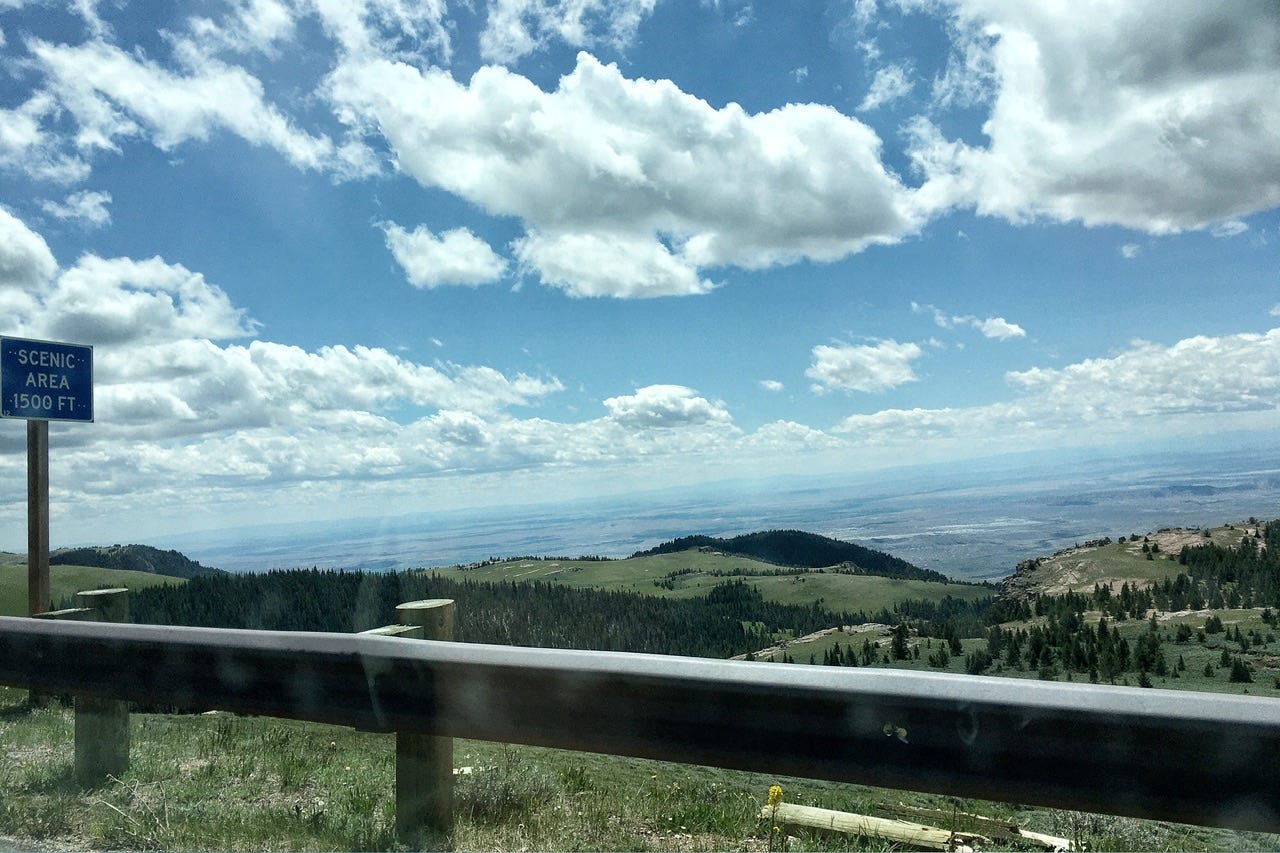
We reached Burgess Junction, where they have this giant billboard-sized map warning travelers about the grades on the two routes heading west from there. We had travelled up Highway 14 from Shell, Wyoming, which had been a really nice drive, but I also wanted to see a bit of the scenery we had missed out on by skipping Highway 14A.
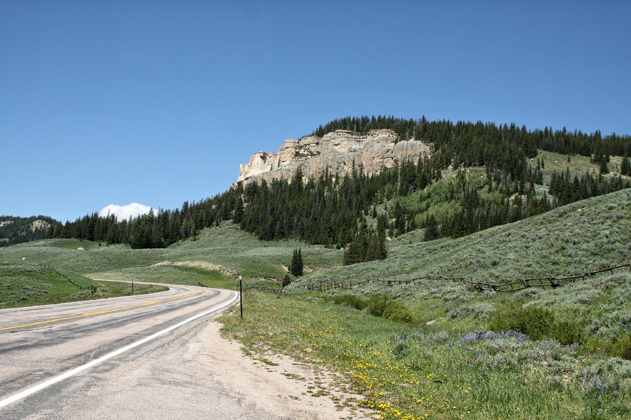
Medicine Wheel Passage Scenic Byway
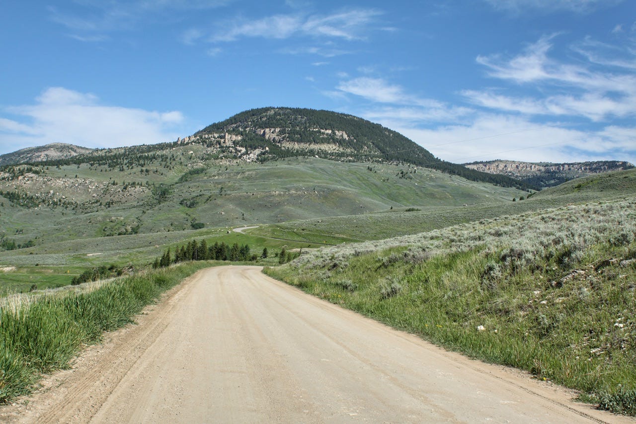
Highway 14A is also known as the Medicine Wheel Passage Scenic Byway. I wanted to see the medicine wheel, but I wasn’t sure where it was and was not keen on driving down the 10% grade that the big sign warned about. I decided we’d go until we reached signs warning about the grade ahead and then we’d turn around. I don’t think that much grade would bother me at all anymore, so someday I’d like to go back that way again to see what we missed!
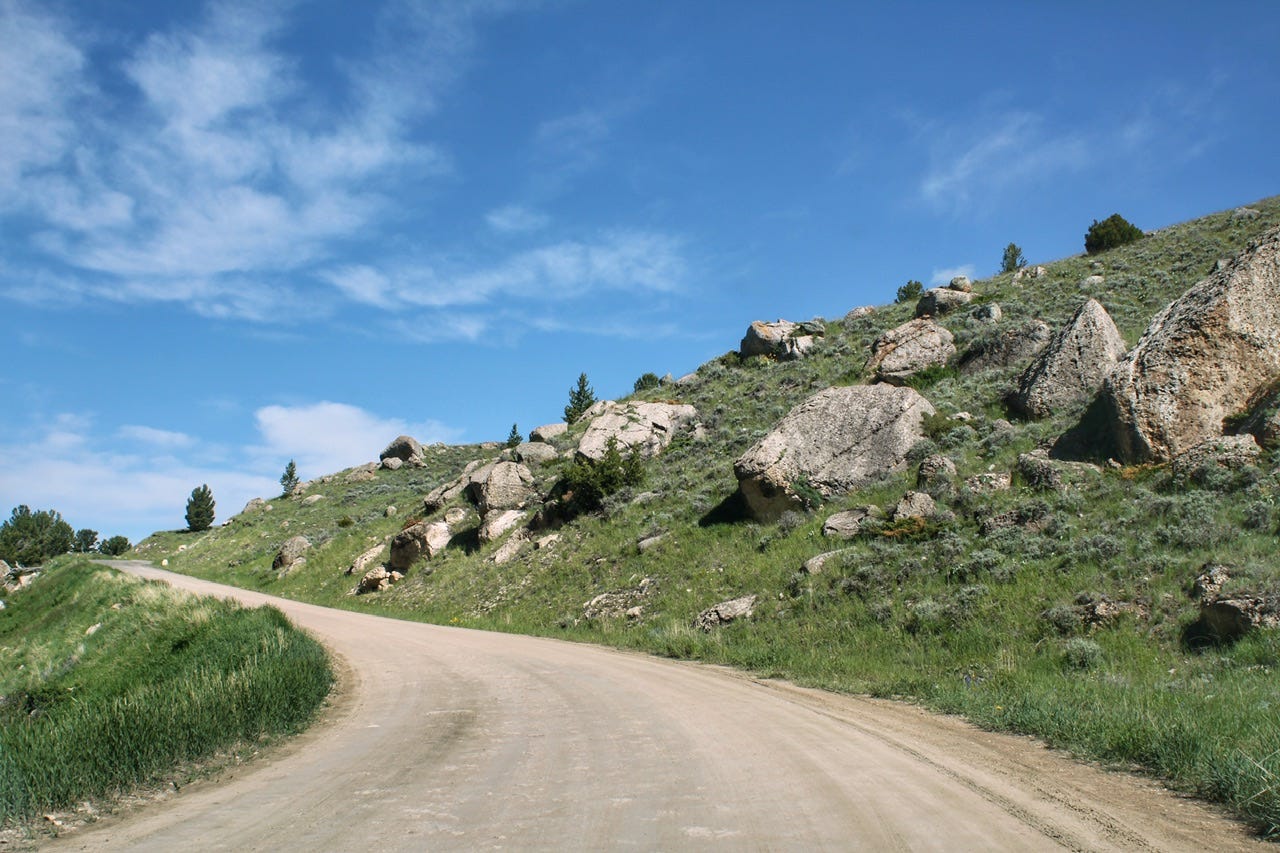
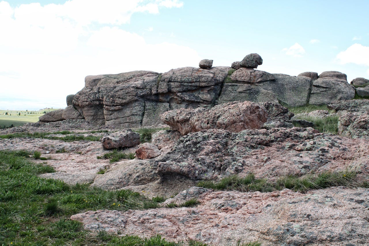
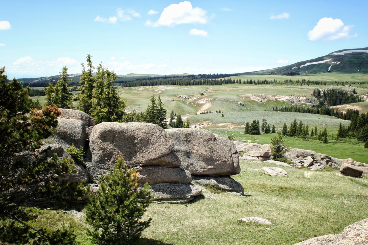
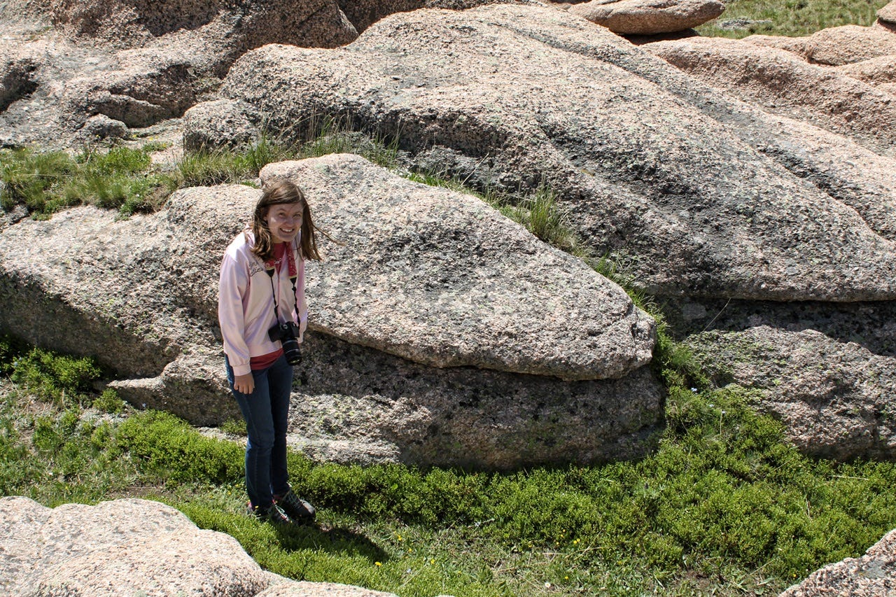
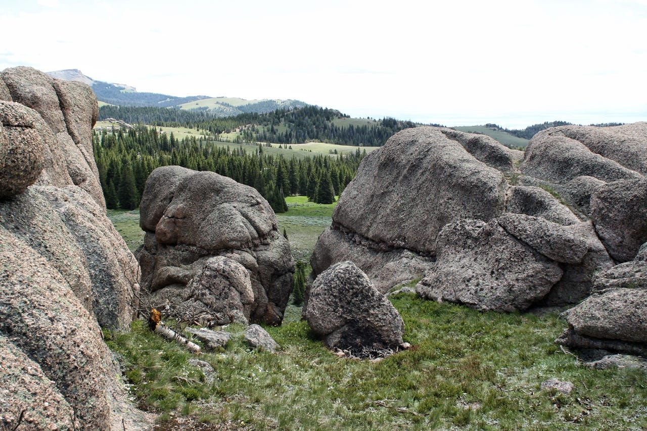
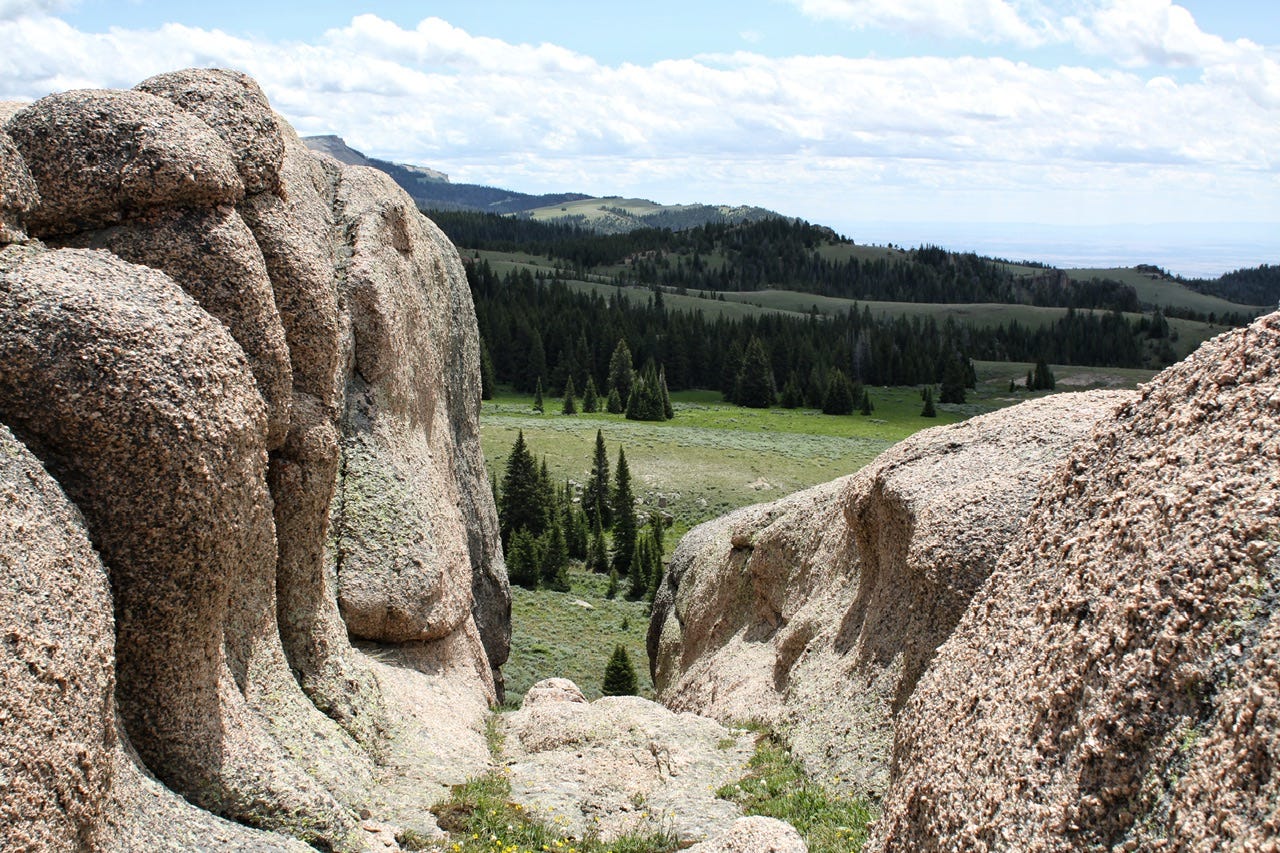
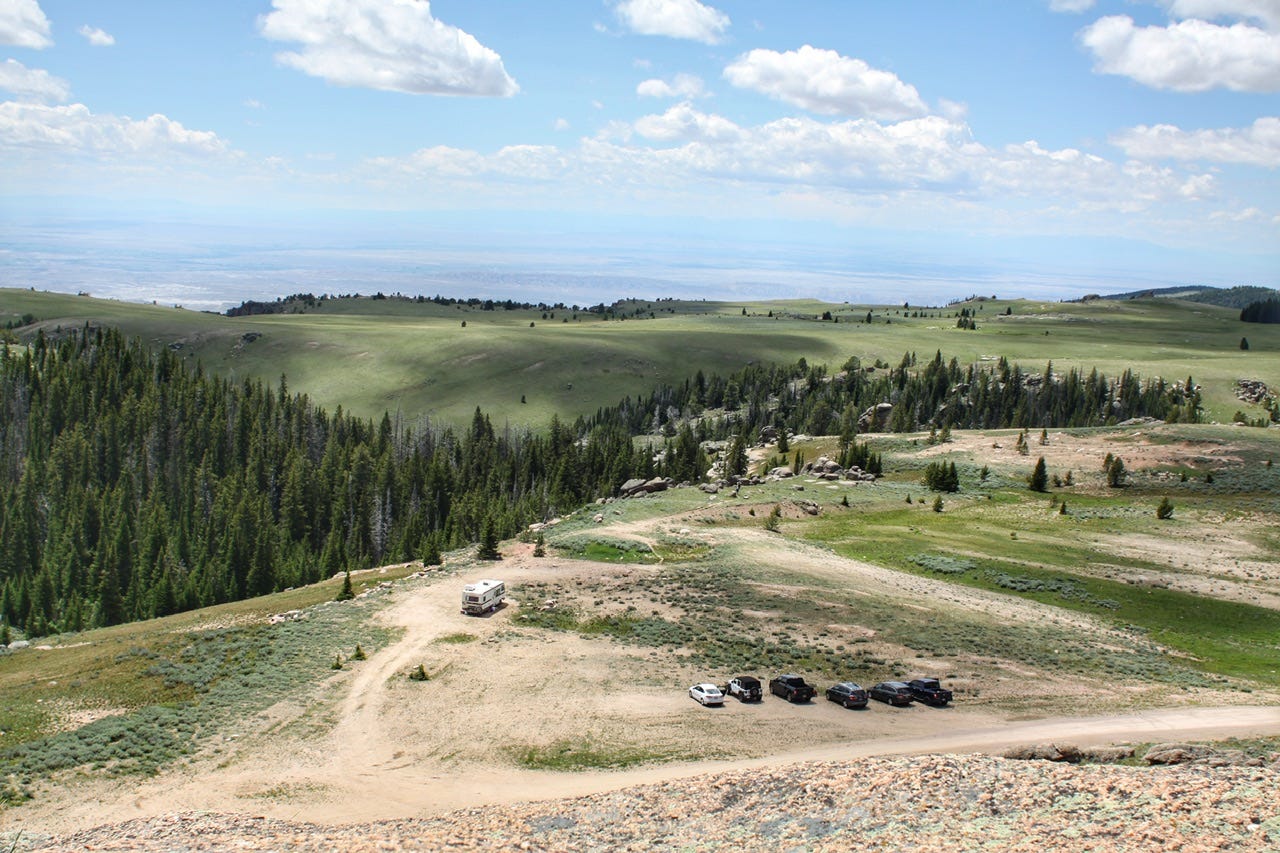
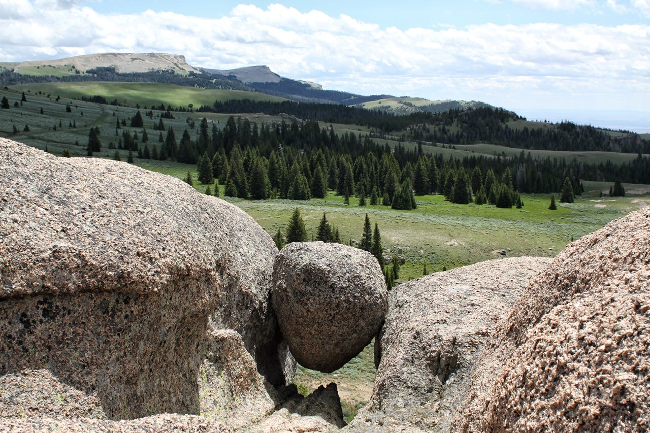
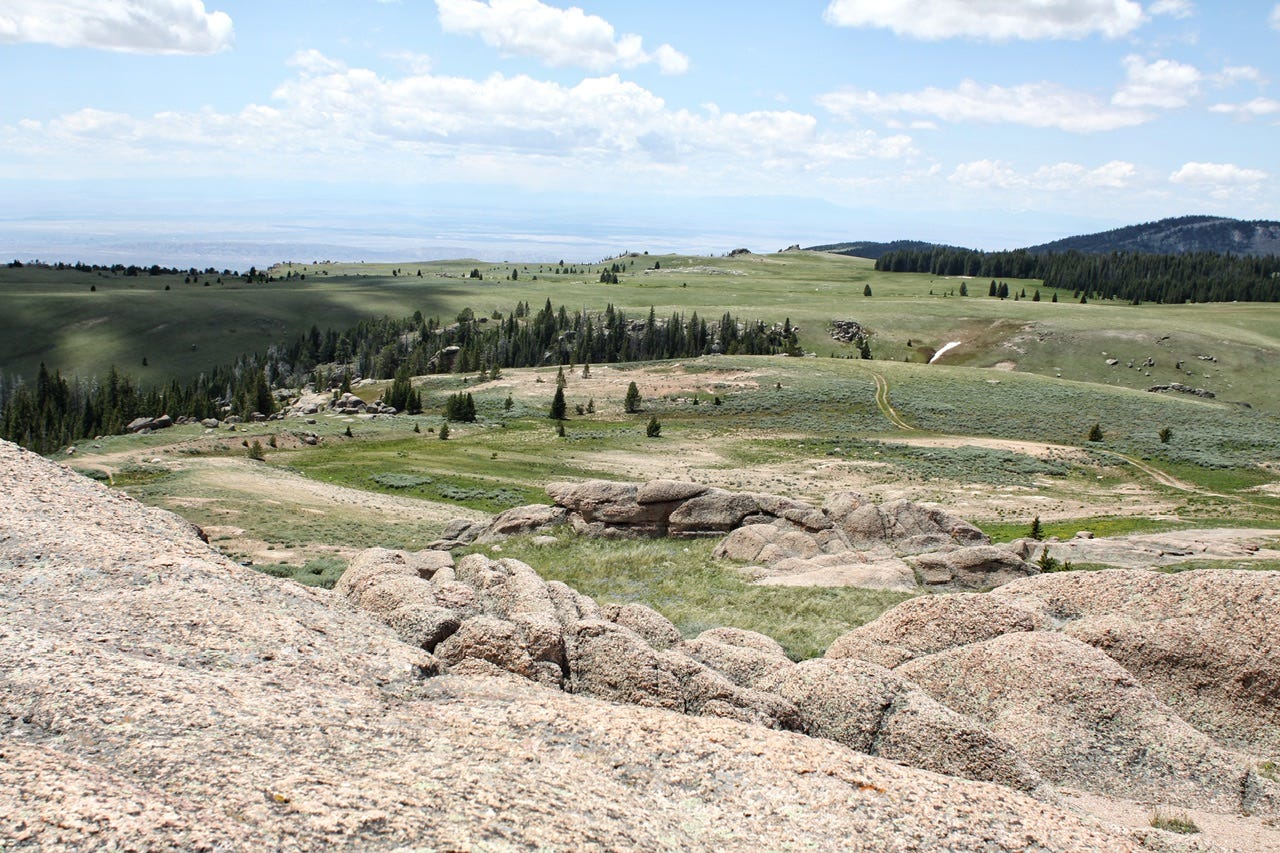
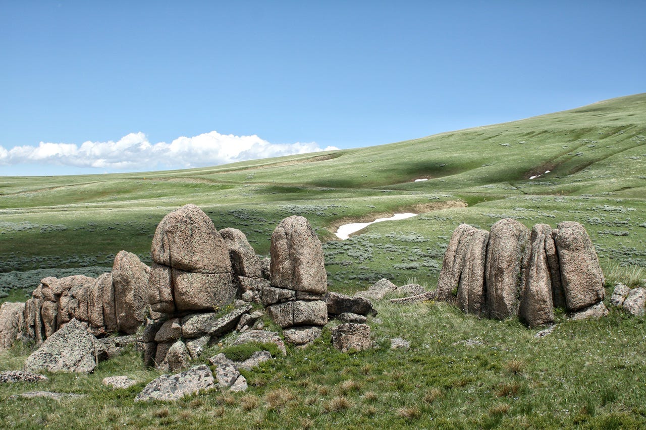
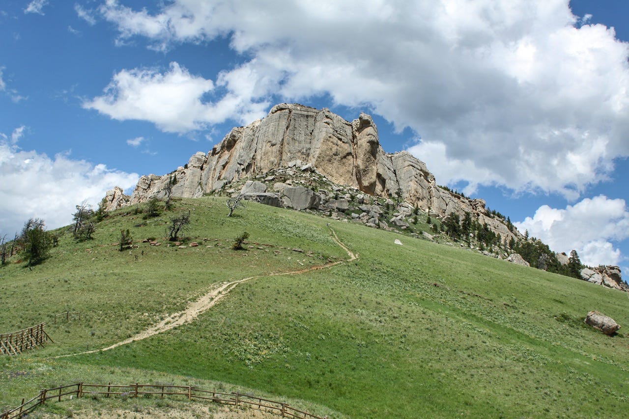
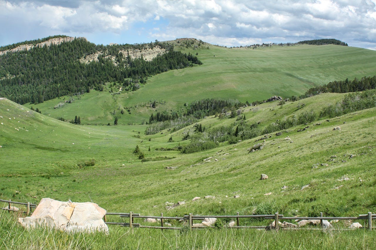
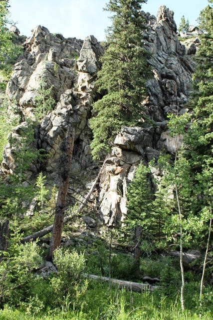
We weren’t able to stop at all of the overlooks because they were being used to stage road construction vehicles, but the drive was beautiful. After driving for a while, we came across some giant boulders near a dirt parking lot. There was a trail going out to them so we decided to stop for a hike. There was also a sketchy looking dirt road that might have taken us closer, but we were ready to get out and walk around.
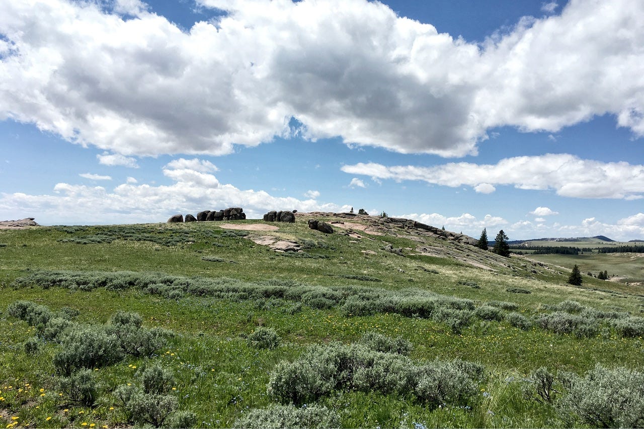
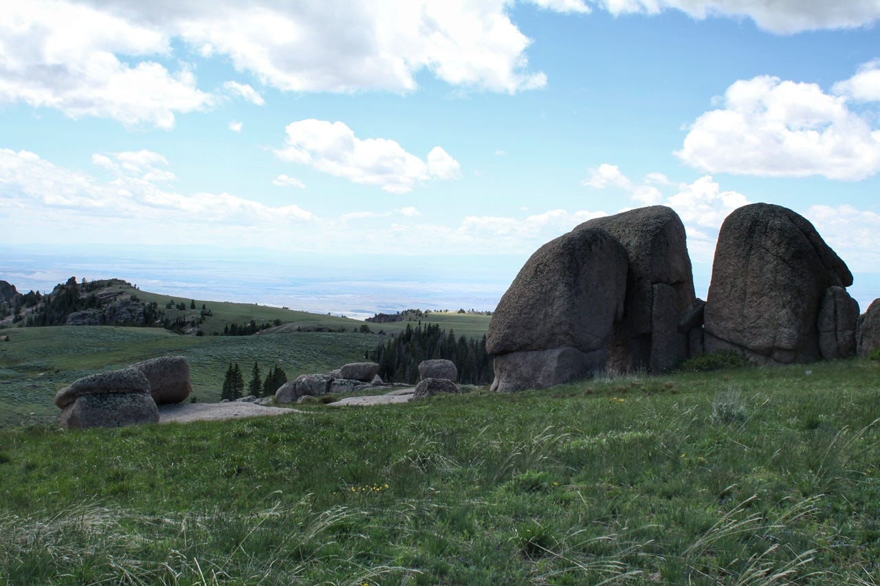
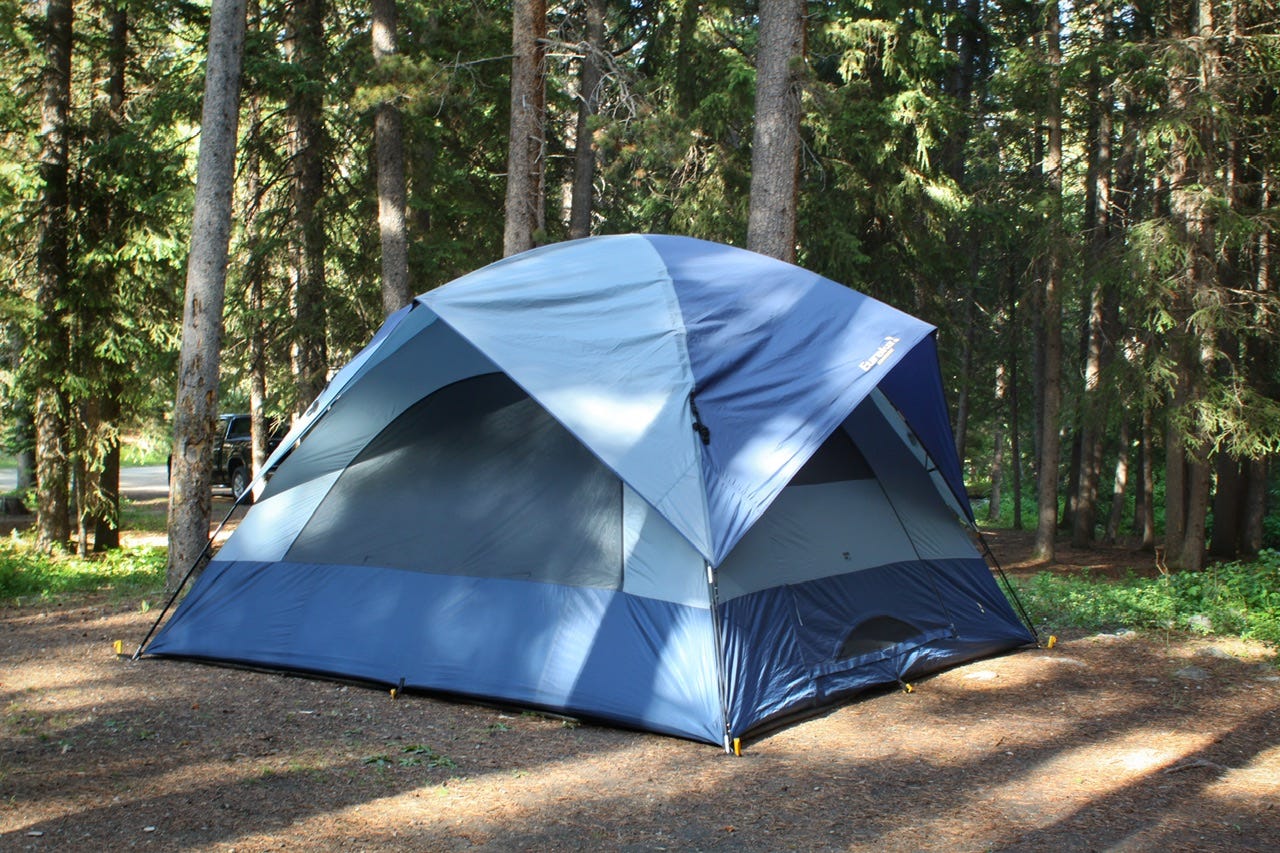
This was such an odd little area to find and explore. The trail and rock formations weren’t labeled, but a bunch of cars were parked at the bottom of the sketchy road. We also found a tent that had been lowered to the ground, presumably while the owner was away for the day. We had fun exploring and climbing on the rocks, but it was another chilly day, so our adventures didn’t last long.
Side note: Google Earth labeled this spot as North Beaver Creek Falls and All Trails has it listed as Paradise Falls. We didn’t have access to either of those apps without a signal, but apparently, there would’ve been a 2.5 mile trail to a waterfall if we had known it was there! Add that to the ever-growing list of things we’ll have to go back to check out another day.
We stopped for lunch at the Bald Mountain Campground before deciding it was time to turn around. We didn’t know how much further it would be to get to the Medicine Wheel National Historic Landmark, but apparently, that was just a few miles further down the road. I’m also not sure if we’d have been able to huff and puff our way up the hill for the 2.8 miles of trail at over 9000ft of elevation. We normally do quite a bit of hiking on road trips, but usually never anything above 6000-7000ft. It was too chilly for hiking that far on the top of a mountain anyway.
Steamboat Point
We had thought about hiking to Steamboat Point since it was lower in elevation, but one look at that trail, and the time, and we opted to look at it from the car. It was 3pm by that point. We had driven through plenty of campgrounds along the way there, but none that were near enough to camp in and also hike any part of this trail.
While we were outside taking a break from riding in the car, we met an older guy on a motorcycle who told us his wife and dog were up on the top and he was waiting for them to get back down. That’s one thing that makes traveling so interesting, is meeting the people along the way. We had mostly been trying to avoid people on this trip, so the few that we did meet were memorable souls. He also told us that it takes 1.5 hours to go up and 45 minutes to get back down. We definitely didn’t have time to start a 2+ hour hike at 3pm and also find a campsite before dark!
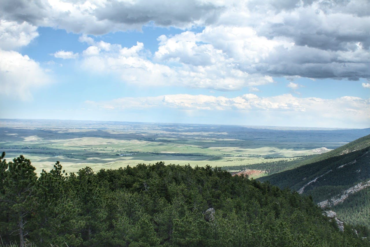
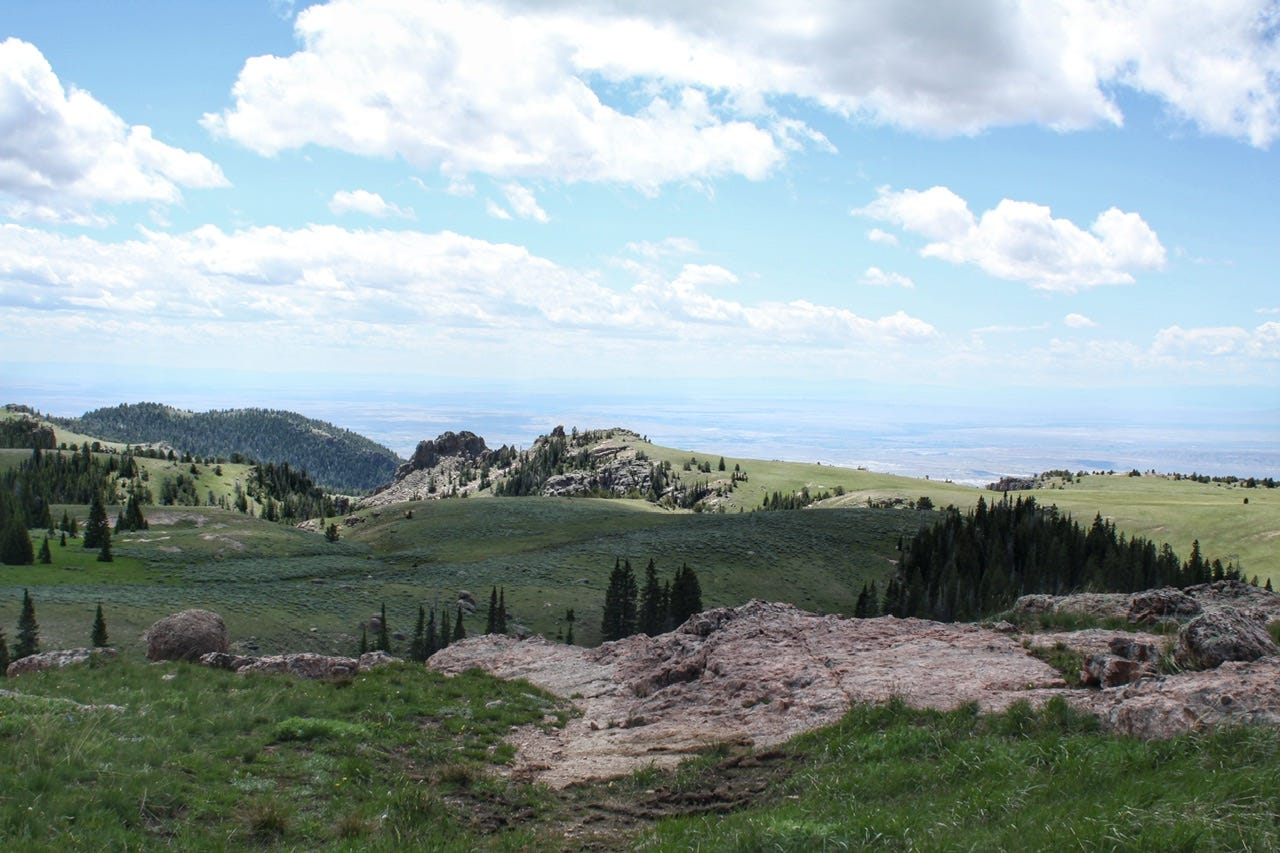
When Tim had recommended the Bighorns for a road trip, he had also recommended which direction to go first and to end the route with this view. I can’t say that he was wrong about that! I’m fairly certain this one was taken from the Hogback Interpretive Site, just before a bunch of switchbacks that take you into Dayton, Wyoming. Our tour of the Bighorns was complete, but we still needed to find a campsite for the night. We had decided to head back down to the south end of the Bighorns to see what we had missed when it was all fogged in on our way into the mountains a few days earlier.
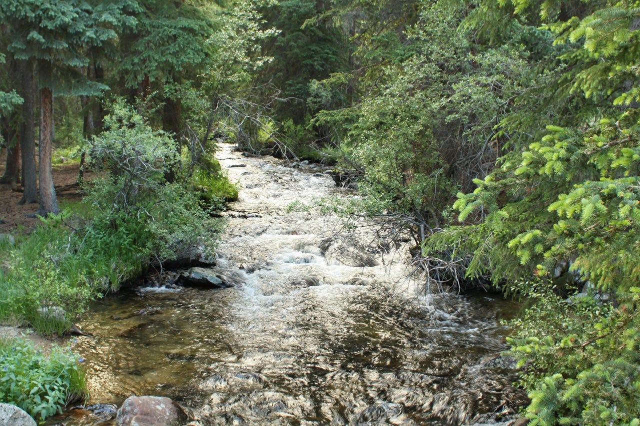
Middle Fork Campground
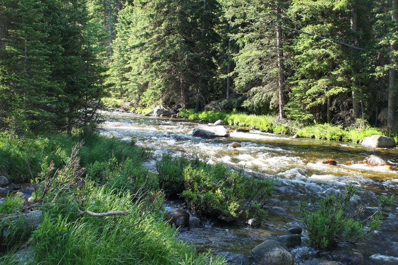
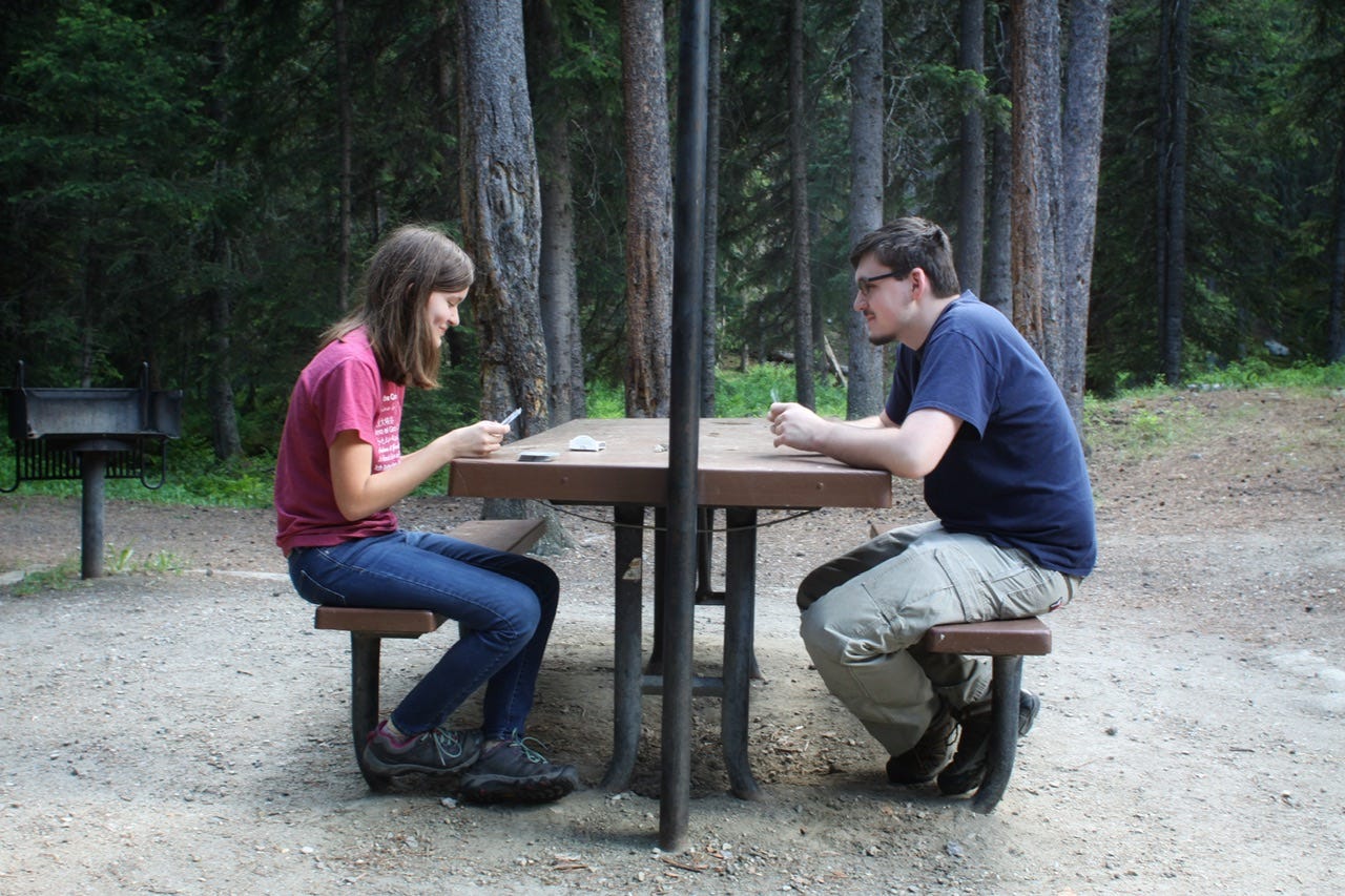
We stopped at the first campground we saw on Highway 16, which was Middle Fork Campground. This campground has nine sites along Middle Clear Creek, and we chose site 6 which had a nice view of some rocks across the road and we could hear the creek behind our campsite.
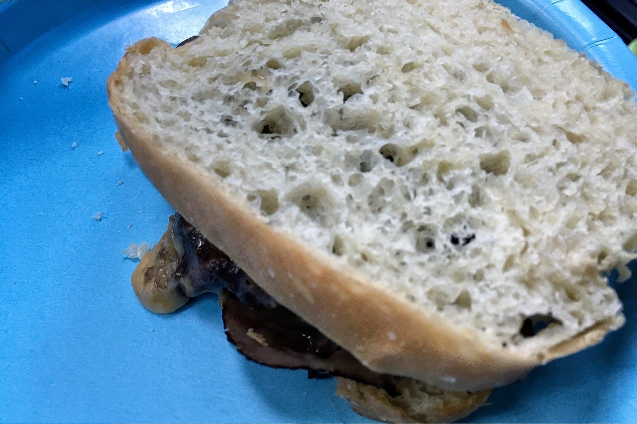
We set up the tent and then I cooked up one of my favorite easy camping suppers. Roast beef and cheddar sandwiches are so tasty! They are made with a pack of deli sliced roast beef and then I take a kitchen shears and cut the beef into shreds and sauté it in a little olive oil. Once it is heated up, I add some cheese and stand the bread around the inside of the pan to warm it up. I have also added sautéed onions and bell peppers to the mix, which are super yummy, like a Philly cheesesteak. I like this meal for camping because it’s hearty, hot meal, and it’s ready in just a few minutes, with very little prep work at home or at the campsite.
After supper, we took a little walk down the gravel road that continued out of our campground. This was such a pretty area, with several homes tucked into the trees here and there. Most of them looked like nobody was around, so I’m guessing they might’ve been rental cabins.
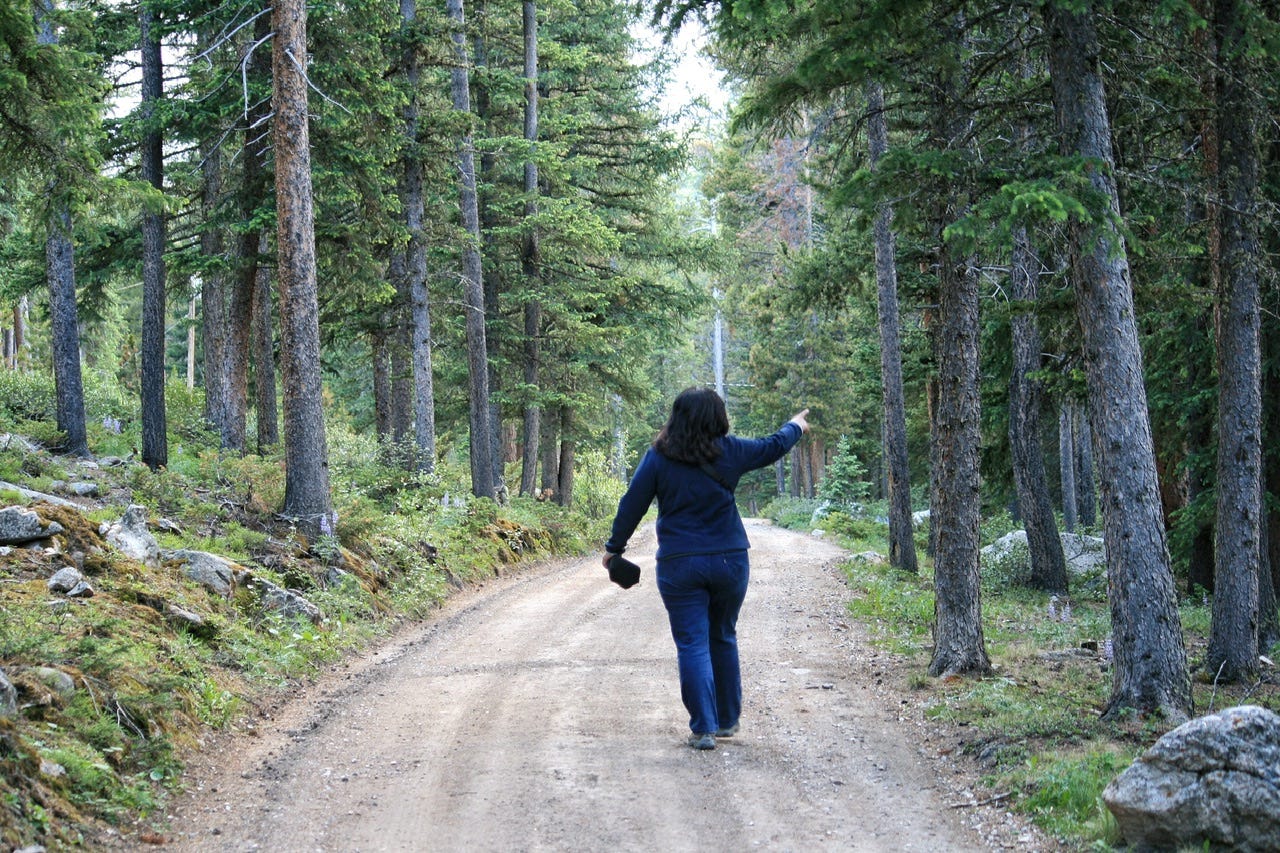
Somehow, we still had daylight left after our supper and our walk, so we decided to go for a drive to see the sunset. Yes, we had been driving around all day already, but we’re not campfire people, so we went in search of a sunset instead. “Maybe we’ll see a moose!” had become our motto of the day, so we were also hoping that maybe they would come out in the evening light.
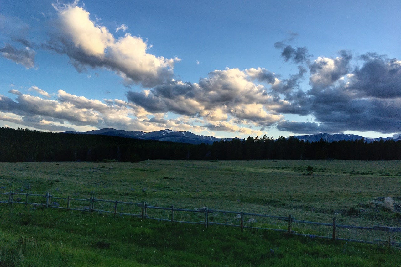
I had questioned whether or not it would be silly to revisit the southern end of the Bighorns for the night, rather than camping on the north side, but I think we made the right choice. We found a creekside campsite and saw a pretty sunset…always a nice way to end the day…even if we never did get to see a moose!
Subscribe if you haven’t. There’s two more days left of this road trip!